
| Memorials | : | 0 |
| Location | : | Mize, Smith County, USA |
| Coordinate | : | 31.8500920, -89.5831400 |
| Description | : | From Mize, Mississippi proceed West on Highway 28 1 mile to the intersection of Highway 54. Turn left (South) onto Hwy 54 and proceed nine tenths of a mile to the intersection of Highway 59. Take Hwy 59 South West for three tenths of a mile to the intersection of Highway 56. The land owners or the property are down the driveway immediately across Hwy 56. The property owners will escort you to the cemetery from this point if they have given you prior permission to enter the cemetery, specifically: SW1/4 NW1/4, S11, T10N-R16W, Smith, Mize Quadrangle map, USNG: 16R... Read More |
frequently asked questions (FAQ):
-
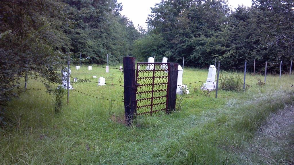
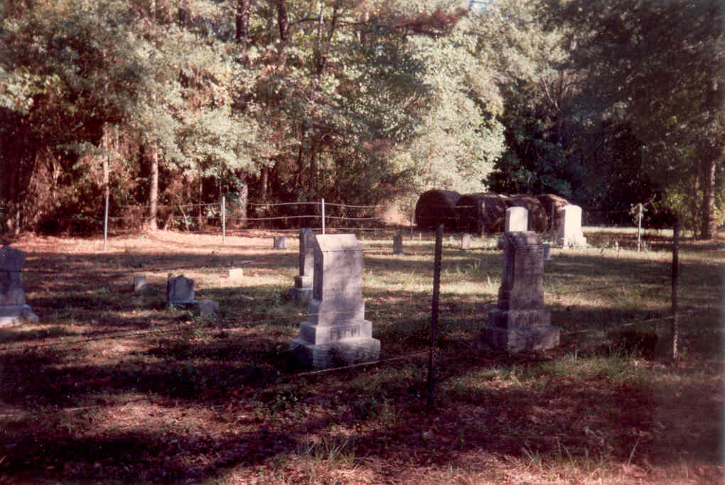
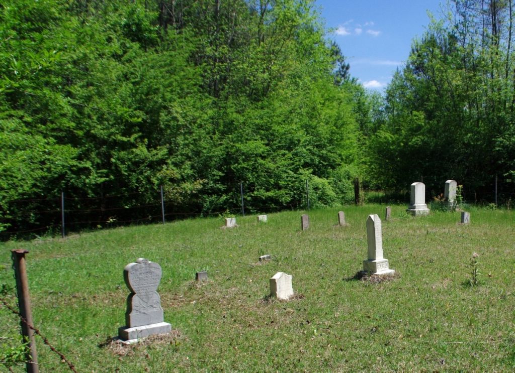
Where is Byrd Cemetery?
Byrd Cemetery is located at Smith County Road 41 Mize, Smith County ,Mississippi , 39116USA.
-
Byrd Cemetery cemetery's updated grave count on graveviews.com?
0 memorials
-
Where are the coordinates of the Byrd Cemetery?
Latitude: 31.8500920
Longitude: -89.5831400
Nearby Cemetories:
1. Pleasant Hills Mennonite Cemetery
Mize, Smith County, USA
Coordinate: 31.8613850, -89.5787720
2. Calvary Cemetery
Mize, Smith County, USA
Coordinate: 31.8526400, -89.6007700
3. Zion Hill Missionary Baptist Church Cemetery
Mize, Smith County, USA
Coordinate: 31.8359394, -89.5683136
4. Thomas F Sullivans Cemetery
Mize, Smith County, USA
Coordinate: 31.8335200, -89.5696100
5. Mize Cemetery
Mize, Smith County, USA
Coordinate: 31.8576794, -89.5548096
6. Ed Sullivan Cemetery
Mize, Smith County, USA
Coordinate: 31.8439500, -89.5484300
7. Rose Hill Cemetery
Mize, Smith County, USA
Coordinate: 31.8804100, -89.5848500
8. Alex Sullivan Cemetery
Mize, Smith County, USA
Coordinate: 31.8249400, -89.5608000
9. Maranatha Baptist Cemetery
Mize, Smith County, USA
Coordinate: 31.8102880, -89.5921820
10. Ware Cemetery
Mize, Smith County, USA
Coordinate: 31.8583700, -89.6370300
11. New Sardis Baptist Church Cemetery
Smith County, USA
Coordinate: 31.8099500, -89.6168700
12. Jones Cemetery
Mize, Smith County, USA
Coordinate: 31.8704500, -89.5296100
13. Concord Baptist Church Cemetery
Mize, Smith County, USA
Coordinate: 31.8529190, -89.6421933
14. Oak Grove Baptist Church Cemetery
Mize, Smith County, USA
Coordinate: 31.7933100, -89.5686700
15. Shady Grove Cemetery
Mize, Smith County, USA
Coordinate: 31.8848460, -89.6398540
16. Providence Baptist Church Cemetery
Mize, Smith County, USA
Coordinate: 31.8536400, -89.5126400
17. Old Zion Hill Cemetery
Mize, Smith County, USA
Coordinate: 31.7999900, -89.5438700
18. Fairmount Waco Cemetery
Mize, Smith County, USA
Coordinate: 31.9001100, -89.5419200
19. Eubanks Cemetery
Mize, Smith County, USA
Coordinate: 31.8002663, -89.6283493
20. Tom Sullivan Cemetery
Mize, Smith County, USA
Coordinate: 31.7999992, -89.6294022
21. Pleasant Hill Landmark Missionary Baptist Church C
Mount Olive, Covington County, USA
Coordinate: 31.7834200, -89.6106100
22. Pleasant Home Primitive Baptist Church Cemetery
Mize, Smith County, USA
Coordinate: 31.8905300, -89.5131000
23. Sharon Cemetery
Coats, Simpson County, USA
Coordinate: 31.8621292, -89.6686096
24. Mozingo Cemetery
Smith County, USA
Coordinate: 31.9065342, -89.5250702