
| Memorials | : | 1 |
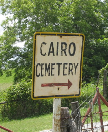
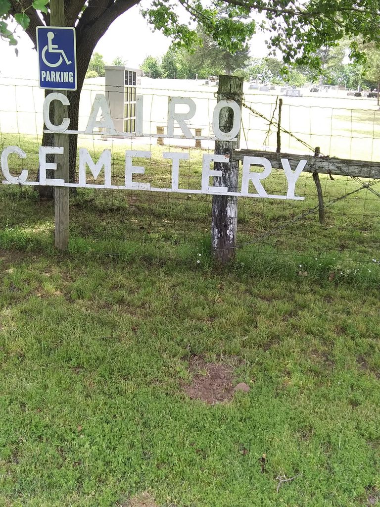
| Location | : | Cairo, Coal County, USA |
| Coordinate | : | 34.5881004, -96.1082993 |
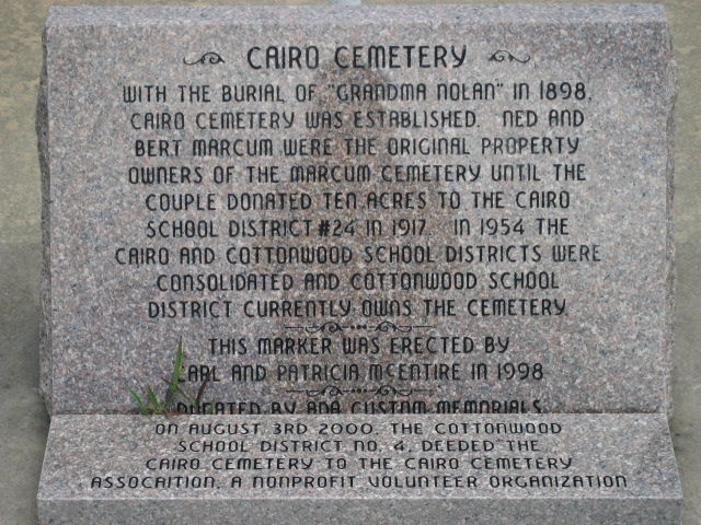
| Description | : | The earliest known death here was Grandma Nolen in 1898. A marker at the entrance was erected by Carl and Patricia McEntire in 1998, which tells some of the history of the Cairo Cemetery. The original property owners were Ned and Bert Marcum. They donated ten acres to Cairo School in 1917. The property now belongs to the Cairo Cemetery Association. |
frequently asked questions (FAQ):
-
Where is Cairo Cemetery?
Cairo Cemetery is located at Cairo, Coal County ,Oklahoma ,USA.
-
Cairo Cemetery cemetery's updated grave count on graveviews.com?
0 memorials
-
Where are the coordinates of the Cairo Cemetery?
Latitude: 34.5881004
Longitude: -96.1082993

Nearby Cemetories:
1. Bethel Cemetery
Atoka County, USA
Coordinate: 34.6070360, -96.0262340
2. Ott Cemetery
Coal County, USA
Coordinate: 34.6244011, -96.1931000
3. Lone Star Cemetery
Coal County, USA
Coordinate: 34.6660995, -96.0914001
4. McCarty Cemetery
Coal County, USA
Coordinate: 34.6542015, -96.1849976
5. Coalgate Cemetery
Coalgate, Coal County, USA
Coordinate: 34.5628014, -96.2155991
6. Wardville Cemetery
Wardville, Atoka County, USA
Coordinate: 34.6585780, -96.0364260
7. Woodman Cemetery
Coalgate, Coal County, USA
Coordinate: 34.5341988, -96.1996994
8. Boggy Bend Cemetery
Stringtown, Atoka County, USA
Coordinate: 34.4955556, -96.0775000
9. Kelly Cemetery
Wardville, Atoka County, USA
Coordinate: 34.6385994, -96.0066986
10. Calvary Cemetery
Phillips, Coal County, USA
Coordinate: 34.5121994, -96.2136002
11. Limestone Gap Cemetery
Atoka County, USA
Coordinate: 34.6144180, -95.9702300
12. Wells Street Cemetery
Atoka County, USA
Coordinate: 34.4668007, -96.0606003
13. Stringtown Cemetery
Stringtown, Atoka County, USA
Coordinate: 34.4639015, -96.0625000
14. Wards Cemetery
Atoka County, USA
Coordinate: 34.6260986, -95.9569016
15. Stringtown Unnamed Cemetery
Stringtown, Atoka County, USA
Coordinate: 34.4651690, -96.0509350
16. Coal Creek Cemetery
Atoka, Atoka County, USA
Coordinate: 34.4563889, -96.1286111
17. King Cemetery
Coal County, USA
Coordinate: 34.7341995, -96.1128006
18. Lehigh Cemetery
Lehigh, Coal County, USA
Coordinate: 34.4775900, -96.2319400
19. Mount Olive Church Cemetery
Atoka County, USA
Coordinate: 34.4591130, -96.0084110
20. Macedonia Cemetery
Atoka, Atoka County, USA
Coordinate: 34.4350000, -96.1447300
21. Harpers Valley Cemetery
Kiowa, Pittsburg County, USA
Coordinate: 34.7172222, -95.9919444
22. Midway Cemetery
Lehigh, Coal County, USA
Coordinate: 34.4402800, -96.2081200
23. Old Lehigh Cemetery
Lehigh, Coal County, USA
Coordinate: 34.4435997, -96.2164001
24. Wesley Cemetery
Atoka County, USA
Coordinate: 34.5875000, -95.8975100