
| Memorials | : | 24 |
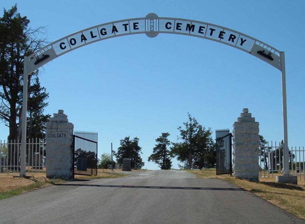
| Location | : | Coalgate, Coal County, USA |
| Coordinate | : | 34.5628014, -96.2155991 |
| Description | : | Coalgate Cemetery is more than a century old. The land for the cemetery was deeded to the City of Coalgate by the Choctaw Nation in 1905. There are no records of early burials, though the cemetery was in use as early as the 1880s. The oldest gravestone is dated November 19, 1888, and is that of an infant. The cemetery was originally used as a burial place for miners killed in accidents. It was also used for the burial of infants. In fact, the older section is known as "Baby Land." The first recorded Catholic burial in Coalgate... Read More |
frequently asked questions (FAQ):
-
Where is Coalgate Cemetery?
Coalgate Cemetery is located at Coalgate, Coal County ,Oklahoma ,USA.
-
Coalgate Cemetery cemetery's updated grave count on graveviews.com?
24 memorials
-
Where are the coordinates of the Coalgate Cemetery?
Latitude: 34.5628014
Longitude: -96.2155991


Nearby Cemetories:
1. Woodman Cemetery
Coalgate, Coal County, USA
Coordinate: 34.5341988, -96.1996994
2. Calvary Cemetery
Phillips, Coal County, USA
Coordinate: 34.5121994, -96.2136002
3. Ott Cemetery
Coal County, USA
Coordinate: 34.6244011, -96.1931000
4. Lehigh Cemetery
Lehigh, Coal County, USA
Coordinate: 34.4775900, -96.2319400
5. Cairo Cemetery
Cairo, Coal County, USA
Coordinate: 34.5881004, -96.1082993
6. Nixon Cemetery
Coalgate, Coal County, USA
Coordinate: 34.5345150, -96.3253070
7. McCarty Cemetery
Coal County, USA
Coordinate: 34.6542015, -96.1849976
8. Round Lake Cemetery
Centrahoma, Coal County, USA
Coordinate: 34.5778008, -96.3371964
9. Centrahoma Cemetery
Centrahoma, Coal County, USA
Coordinate: 34.6061707, -96.3365326
10. Old Lehigh Cemetery
Lehigh, Coal County, USA
Coordinate: 34.4435997, -96.2164001
11. Sealy Cemetery
Coal County, USA
Coordinate: 34.4775009, -96.3202972
12. Midway Cemetery
Lehigh, Coal County, USA
Coordinate: 34.4402800, -96.2081200
13. Davis Cemetery
Coal County, USA
Coordinate: 34.4860992, -96.3321991
14. Coal Creek Cemetery
Atoka, Atoka County, USA
Coordinate: 34.4563889, -96.1286111
15. Boggy Bend Cemetery
Stringtown, Atoka County, USA
Coordinate: 34.4955556, -96.0775000
16. Keel Family Cemetery
Coal County, USA
Coordinate: 34.5064011, -96.3703003
17. Macedonia Cemetery
Atoka, Atoka County, USA
Coordinate: 34.4350000, -96.1447300
18. Lone Star Cemetery
Coal County, USA
Coordinate: 34.6660995, -96.0914001
19. Globe Cemetery
Coal County, USA
Coordinate: 34.6921997, -96.3272018
20. Wells Street Cemetery
Atoka County, USA
Coordinate: 34.4668007, -96.0606003
21. Stringtown Cemetery
Stringtown, Atoka County, USA
Coordinate: 34.4639015, -96.0625000
22. Valley View Cemetery
Atoka County, USA
Coordinate: 34.4068985, -96.2632980
23. Bethel Cemetery
Atoka County, USA
Coordinate: 34.6070360, -96.0262340
24. Selcer Cemetery
Coal County, USA
Coordinate: 34.6112301, -96.4042418