
| Memorials | : | 0 |
| Location | : | Charlestown, Cornwall Unitary Authority, England |
| Coordinate | : | 50.3375800, -4.7558700 |
frequently asked questions (FAQ):
-
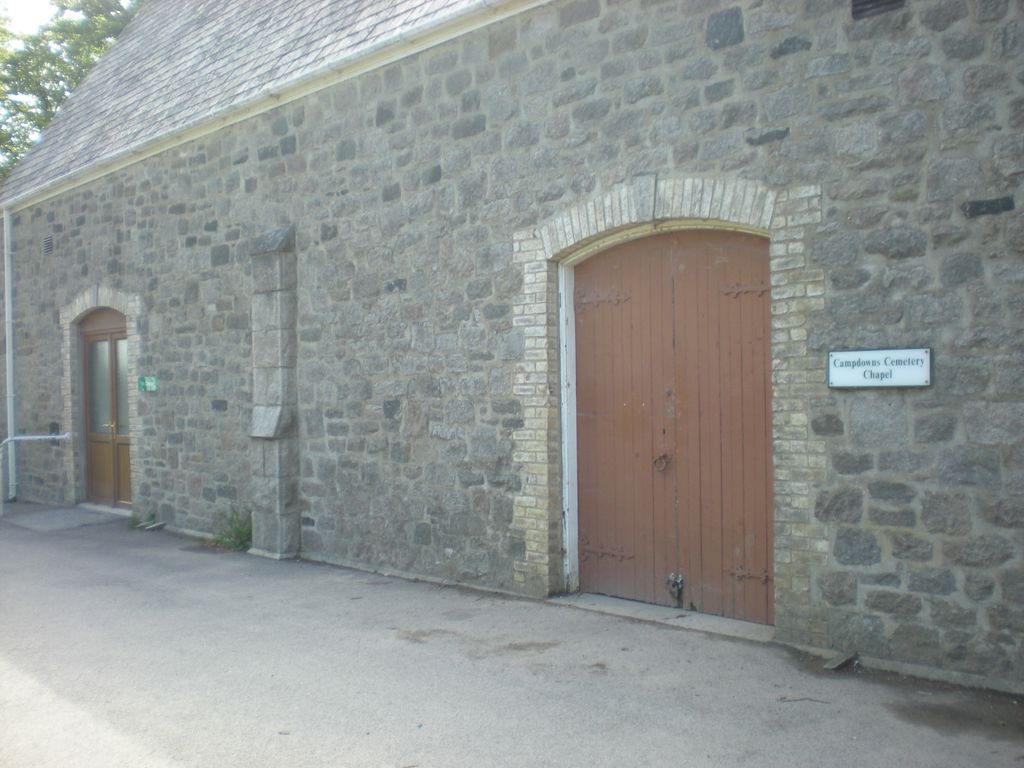
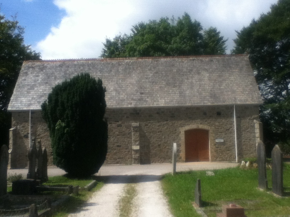
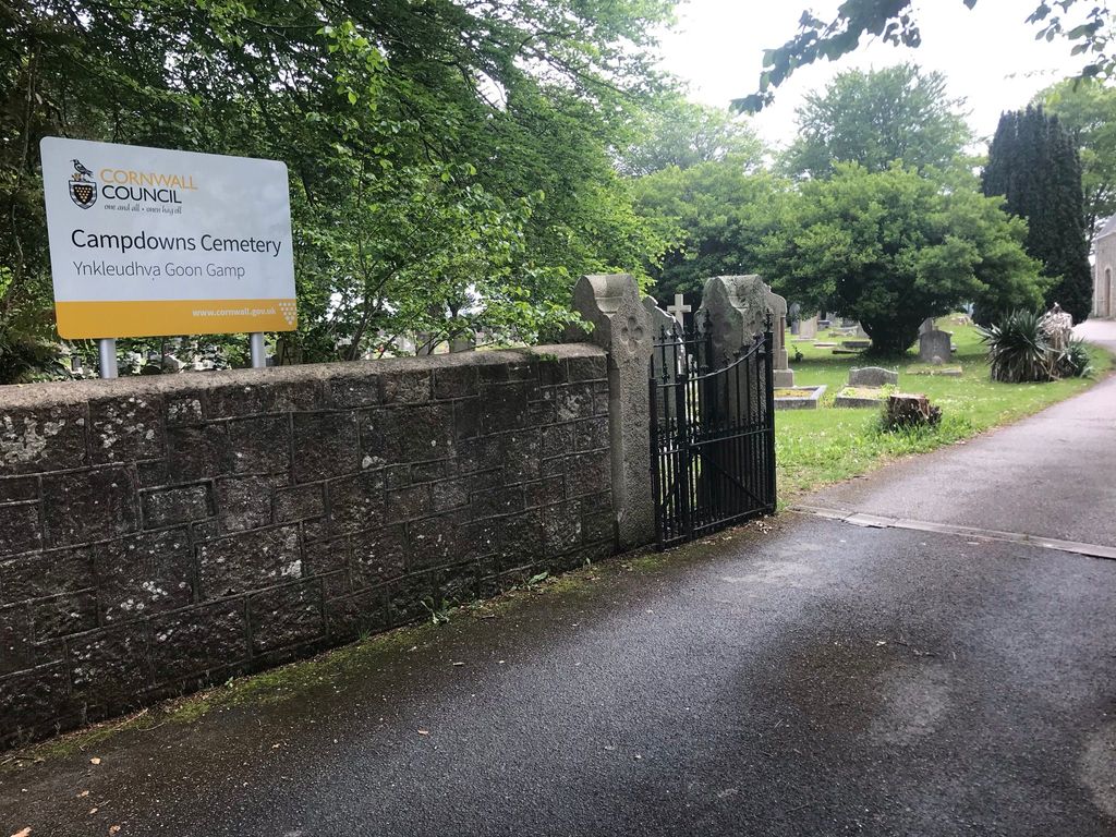
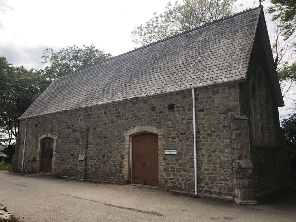
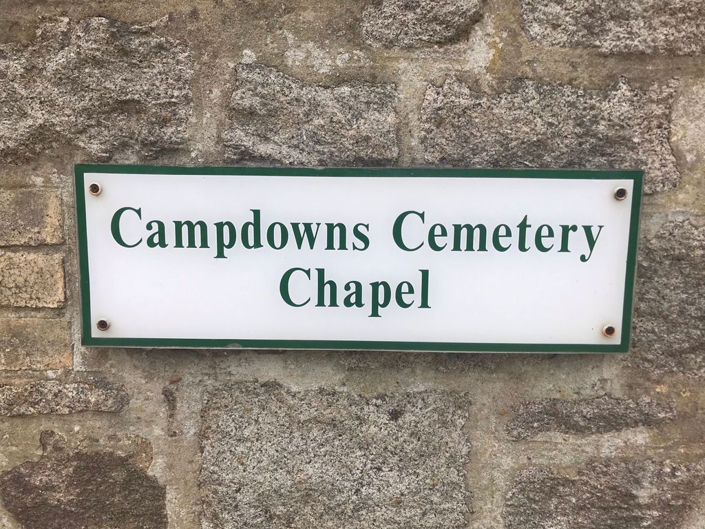
Where is Campdowns Cemetery?
Campdowns Cemetery is located at Crinnis Road Charlestown, Cornwall Unitary Authority ,Cornwall , PL25 3PGEngland.
-
Campdowns Cemetery cemetery's updated grave count on graveviews.com?
0 memorials
-
Where are the coordinates of the Campdowns Cemetery?
Latitude: 50.3375800
Longitude: -4.7558700

Nearby Cemetories:
1. St. Paul's Churchyard
Charlestown, Cornwall Unitary Authority, England
Coordinate: 50.3364000, -4.7606820
2. St Cyriacus and St Julitta Church Cemetery
Luxulyan, Cornwall Unitary Authority, England
Coordinate: 50.3900250, -4.7415450
3. The Tristan Stone
Fowey, Cornwall Unitary Authority, England
Coordinate: 50.3386540, -4.6540860
4. Lanivet Churchyard
Lanivet, Cornwall Unitary Authority, England
Coordinate: 50.4000600, -4.7038300
5. Lanlivery Churchyard
Lanlivery, Cornwall Unitary Authority, England
Coordinate: 50.3998158, -4.7030720
6. Fowey Cemetery
Fowey, Cornwall Unitary Authority, England
Coordinate: 50.3390083, -4.6395638
7. St Fimbarrus Churchyard
Fowey, Cornwall Unitary Authority, England
Coordinate: 50.3353540, -4.6357340
8. Gunwen Methodist Chapel
Bodmin, Cornwall Unitary Authority, England
Coordinate: 50.4186600, -4.7427070
9. Lostwithiel Borough Cemetery
Lostwithiel, Cornwall Unitary Authority, England
Coordinate: 50.4028000, -4.6754800
10. Cowbridge Cemetery
Lostwithiel, Cornwall Unitary Authority, England
Coordinate: 50.4022400, -4.6732450
11. St. Bartholomew Church Cemetery
Lostwithiel, Cornwall Unitary Authority, England
Coordinate: 50.4073690, -4.6691250
12. Restormel Road Cemetery
Lostwithiel, Cornwall Unitary Authority, England
Coordinate: 50.4100830, -4.6693240
13. St Wyllow Churchyard
Lanteglos-by-Fowey, Cornwall Unitary Authority, England
Coordinate: 50.3345070, -4.6089950
14. St. Goran Parish Churchyard
Gorran Churchtown, Cornwall Unitary Authority, England
Coordinate: 50.2466460, -4.8075060
15. St. Crida Churchyard
Grampound, Cornwall Unitary Authority, England
Coordinate: 50.2887220, -4.9000630
16. St Hydroc Churchyard
Lanhydrock, Cornwall Unitary Authority, England
Coordinate: 50.4411580, -4.6981200
17. St Michael Churchyard
Caerhays, Cornwall Unitary Authority, England
Coordinate: 50.2443200, -4.8573900
18. Boconnoc Parish Church
Boconnoc, Cornwall Unitary Authority, England
Coordinate: 50.4159600, -4.6094600
19. Boconnoc Estate Cemetery
Lostwithiel, Cornwall Unitary Authority, England
Coordinate: 50.4119410, -4.6029750
20. Glynn Valley Crematorium
Bodmin, Cornwall Unitary Authority, England
Coordinate: 50.4589010, -4.6874190
21. Ladock Parish Cemetery
Ladock, Cornwall Unitary Authority, England
Coordinate: 50.3208230, -4.9577200
22. St Lawrence Community Churchyard
Bodmin, Cornwall Unitary Authority, England
Coordinate: 50.4700220, -4.7345900
23. Centenary Methodist Chapel
Bodmin, Cornwall Unitary Authority, England
Coordinate: 50.4708490, -4.7235180
24. Grey Friars
Bodmin, Cornwall Unitary Authority, England
Coordinate: 50.4705630, -4.7190570