
| Memorials | : | 3 |
| Location | : | Hardin County, USA |
| Coordinate | : | 37.4632988, -86.0528030 |
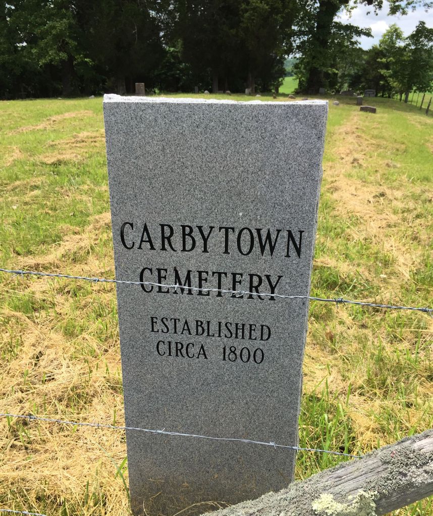
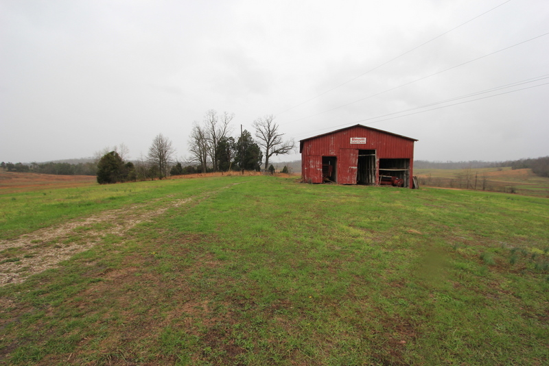
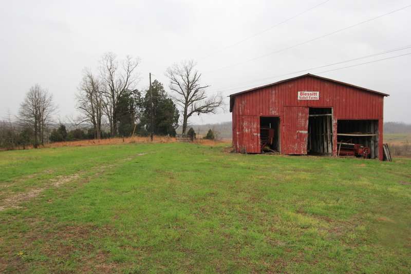
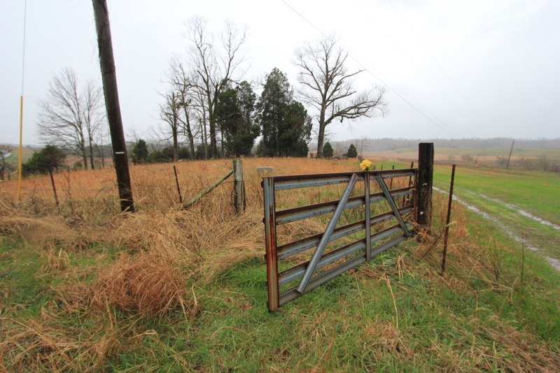
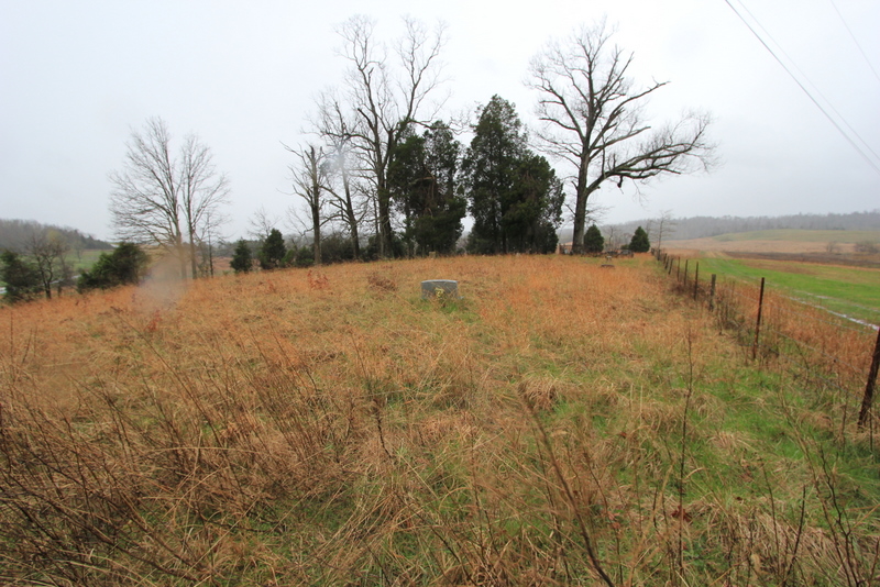
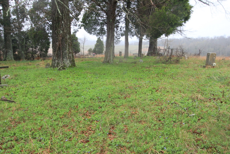
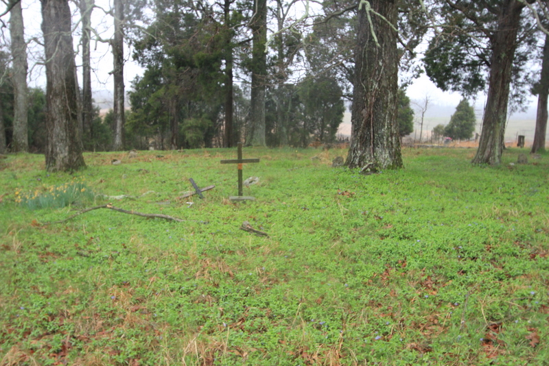
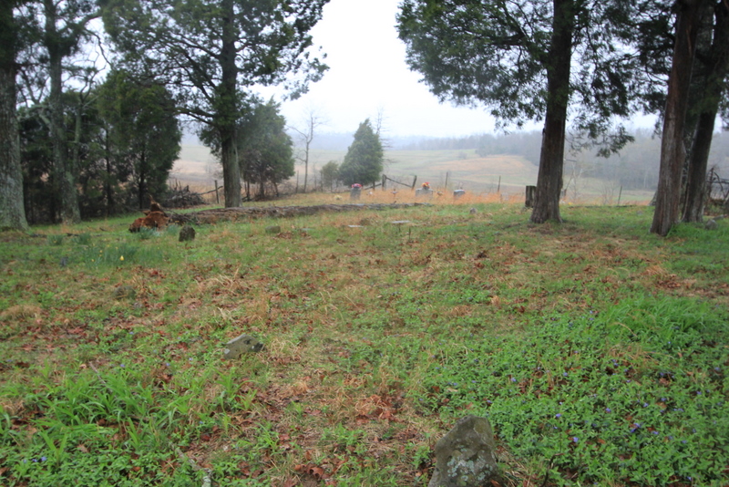
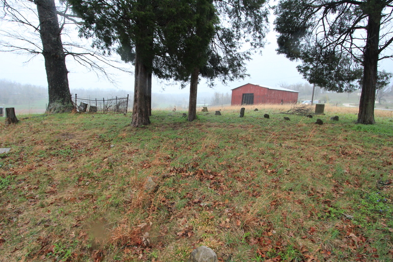
| Description | : | This cemetery is located just north of Millerstown on Blessett's Farm, under a small grove of trees and next to a barn. The cemetery is in Hardin County and just across the county line and from Grayson County. The cemetery is fenced, but does not appear to be regularly maintained. From Clarkson, Kentucky in Grayson County, take Kentucky State Hwy 224 (Millerstown Rd) east to Millerstown, Kentucky. After crossing the bridge at Millerstown, you would make a left onto Flint Hill Rd and head north. At the intersection of Millerstown Rd and Flint Hill Rd, you will see a gas station... Read More |
frequently asked questions (FAQ):
-
Where is Carbytown Cemetery?
Carbytown Cemetery is located at Hardin County ,Kentucky ,USA.
-
Carbytown Cemetery cemetery's updated grave count on graveviews.com?
3 memorials
-
Where are the coordinates of the Carbytown Cemetery?
Latitude: 37.4632988
Longitude: -86.0528030
Nearby Cemetories:
1. Millerstown Baptist Church Cemetery
Millerstown, Grayson County, USA
Coordinate: 37.4460500, -86.0529390
2. Mount Zion Christian Church Cemetery
Grayson County, USA
Coordinate: 37.4749410, -86.0721560
3. Akers Valley Catholic Cemetery
Flint Hill, Hardin County, USA
Coordinate: 37.4886920, -86.0446040
4. Old Lone Oak Cemetery
Lone Oak, Grayson County, USA
Coordinate: 37.4294100, -86.0677050
5. Wooden Cemetery
Upton, Hardin County, USA
Coordinate: 37.4268879, -86.0299260
6. Lone Oak Cemetery New
Lone Oak, Grayson County, USA
Coordinate: 37.4249590, -86.0716630
7. Lone Oak Church Cemetery
Lone Oak, Grayson County, USA
Coordinate: 37.4246200, -86.0724900
8. Little Flock Missionary Baptist Church Cemetery
Grayson County, USA
Coordinate: 37.4511330, -86.1127150
9. Copelin Cemetery
Hart County, USA
Coordinate: 37.4222200, -86.0067000
10. Little Clifty United Methodist Church Cemetery
Clarkson, Grayson County, USA
Coordinate: 37.4854620, -86.1212950
11. Pleasant Valley Cemetery
Grayson County, USA
Coordinate: 37.4113020, -86.0962890
12. John Griffin Cemetery
Grayson County, USA
Coordinate: 37.5068750, -86.1104540
13. Cleaver
Upton, Hardin County, USA
Coordinate: 37.4494080, -85.9696730
14. Mount Moriah Cemetery
Grayson County, USA
Coordinate: 37.4661080, -86.1403670
15. New Hope Church Of Christ Cemetery
Big Clifty, Grayson County, USA
Coordinate: 37.5222300, -86.1076070
16. Joey Mabe Farm Cemetery
Sonora, Hardin County, USA
Coordinate: 37.4917563, -85.9654822
17. Antioch Christian Church Cemetery
Big Clifty, Grayson County, USA
Coordinate: 37.5240780, -86.1109310
18. Brackett Cemetery
Hardin County, USA
Coordinate: 37.4516983, -85.9574966
19. Skaggs Cemetery
Millerstown, Grayson County, USA
Coordinate: 37.4302710, -86.1421900
20. J. H. Haycraft Cemetery
Snap, Grayson County, USA
Coordinate: 37.3998054, -86.1174112
21. Craddock Cemetery
Hart County, USA
Coordinate: 37.3838997, -86.0278015
22. John S Haycraft Cemetery
Snap, Grayson County, USA
Coordinate: 37.3976080, -86.1225690
23. Caswell Cemetery
Hart County, USA
Coordinate: 37.3796997, -86.0180969
24. Rock Creek Church Cemetery
Rock Creek, Grayson County, USA
Coordinate: 37.4322150, -86.1572220