
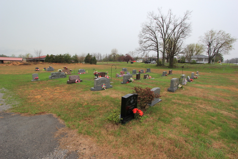
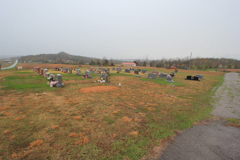
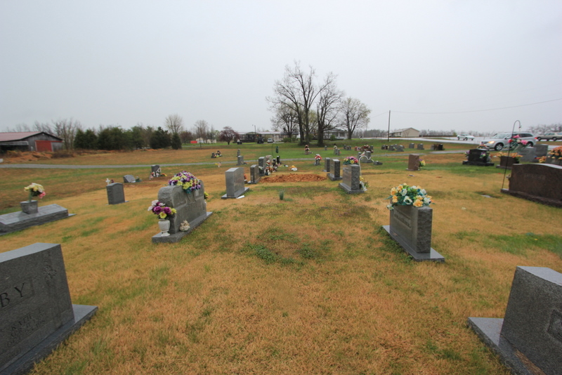
| Memorials | : | 23 |
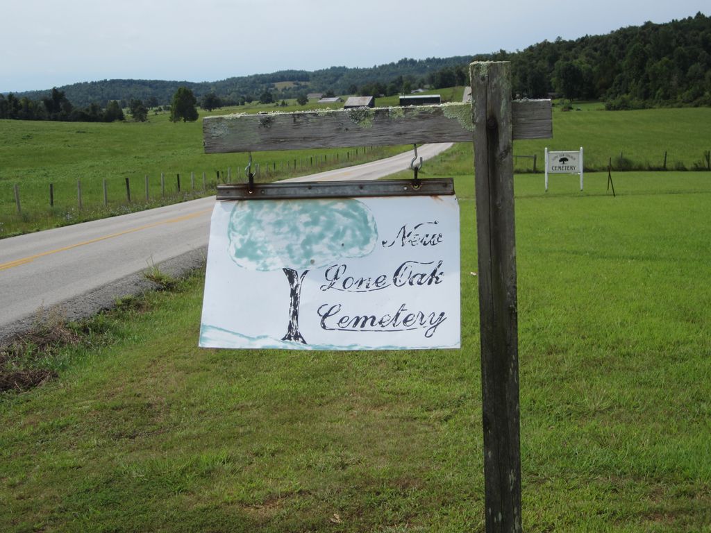
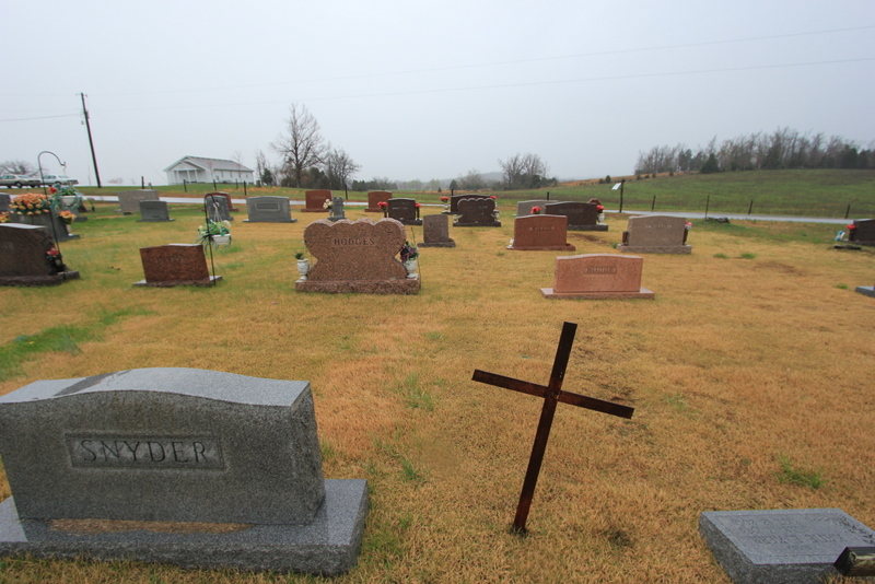
| Location | : | Lone Oak, Grayson County, USA |
| Coordinate | : | 37.4249590, -86.0716630 |
| Description | : | From Clarkson, Kentucky in Grayson County, take Kentucky State Hwy 224 (Millerstown Rd) east to Millerstown, Kentucky. Before crossing the bridge at Millerstown, you would make a right onto State Highway 479 (Wax Rd) and head south towards Lone Oak, Kentucky. Lone Oak, Kentucky is located at the intersection of State Highway 470 (Wax Rd) and Lone Oak Rd. At the intersection of Wax Rd and Lone Oak Rd, you will see a church the south east corner. The name of the church is Lone Oak Church. The cemetery is located just past the church and on the opposite side... Read More |
frequently asked questions (FAQ):
-
Where is Lone Oak Cemetery New?
Lone Oak Cemetery New is located at Lone Oak, Grayson County ,Kentucky ,USA.
-
Lone Oak Cemetery New cemetery's updated grave count on graveviews.com?
23 memorials
-
Where are the coordinates of the Lone Oak Cemetery New?
Latitude: 37.4249590
Longitude: -86.0716630
Nearby Cemetories:
1. Lone Oak Church Cemetery
Lone Oak, Grayson County, USA
Coordinate: 37.4246200, -86.0724900
2. Old Lone Oak Cemetery
Lone Oak, Grayson County, USA
Coordinate: 37.4294100, -86.0677050
3. Pleasant Valley Cemetery
Grayson County, USA
Coordinate: 37.4113020, -86.0962890
4. Millerstown Baptist Church Cemetery
Millerstown, Grayson County, USA
Coordinate: 37.4460500, -86.0529390
5. Wooden Cemetery
Upton, Hardin County, USA
Coordinate: 37.4268879, -86.0299260
6. Carbytown Cemetery
Hardin County, USA
Coordinate: 37.4632988, -86.0528030
7. Little Flock Missionary Baptist Church Cemetery
Grayson County, USA
Coordinate: 37.4511330, -86.1127150
8. J. H. Haycraft Cemetery
Snap, Grayson County, USA
Coordinate: 37.3998054, -86.1174112
9. John S Haycraft Cemetery
Snap, Grayson County, USA
Coordinate: 37.3976080, -86.1225690
10. Broadford Baptist Church Cemetery
Broad Ford, Grayson County, USA
Coordinate: 37.3753610, -86.0792530
11. Mount Zion Christian Church Cemetery
Grayson County, USA
Coordinate: 37.4749410, -86.0721560
12. Copelin Cemetery
Hart County, USA
Coordinate: 37.4222200, -86.0067000
13. Craddock Cemetery
Hart County, USA
Coordinate: 37.3838997, -86.0278015
14. Skaggs Cemetery
Millerstown, Grayson County, USA
Coordinate: 37.4302710, -86.1421900
15. Caswell Cemetery
Hart County, USA
Coordinate: 37.3796997, -86.0180969
16. Gibson Cemetery
Hilltop, Grayson County, USA
Coordinate: 37.3997880, -86.1444310
17. Akers Valley Catholic Cemetery
Flint Hill, Hardin County, USA
Coordinate: 37.4886920, -86.0446040
18. Mount Moriah Cemetery
Grayson County, USA
Coordinate: 37.4661080, -86.1403670
19. Rock Creek Church Cemetery
Rock Creek, Grayson County, USA
Coordinate: 37.4322150, -86.1572220
20. Solomon Kessinger Farm Cemetery
Lines Mill, Hart County, USA
Coordinate: 37.3612400, -86.0366500
21. Little Clifty United Methodist Church Cemetery
Clarkson, Grayson County, USA
Coordinate: 37.4854620, -86.1212950
22. Hodges Cemetery #1
Hart County, USA
Coordinate: 37.3778710, -85.9997390
23. Logsdon Family Cemetery
Iberia, Grayson County, USA
Coordinate: 37.3721936, -86.1421142
24. Logsdon Cemetery
Grayson County, USA
Coordinate: 37.4082985, -86.1742020