
| Memorials | : | 14 |
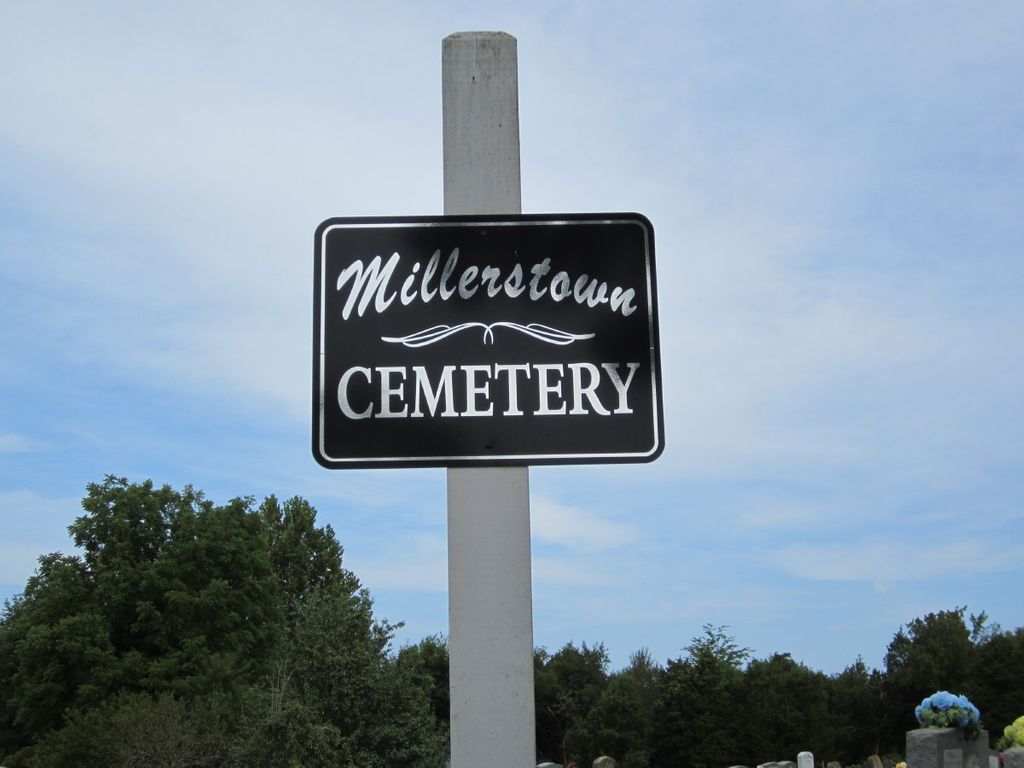
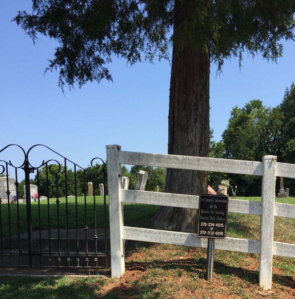
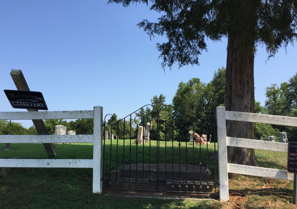
| Location | : | Millerstown, Grayson County, USA |
| Coordinate | : | 37.4460500, -86.0529390 |
frequently asked questions (FAQ):
-
Where is Millerstown Baptist Church Cemetery?
Millerstown Baptist Church Cemetery is located at Millerstown, Grayson County ,Kentucky ,USA.
-
Millerstown Baptist Church Cemetery cemetery's updated grave count on graveviews.com?
13 memorials
-
Where are the coordinates of the Millerstown Baptist Church Cemetery?
Latitude: 37.4460500
Longitude: -86.0529390
Nearby Cemetories:
1. Carbytown Cemetery
Hardin County, USA
Coordinate: 37.4632988, -86.0528030
2. Old Lone Oak Cemetery
Lone Oak, Grayson County, USA
Coordinate: 37.4294100, -86.0677050
3. Lone Oak Cemetery New
Lone Oak, Grayson County, USA
Coordinate: 37.4249590, -86.0716630
4. Lone Oak Church Cemetery
Lone Oak, Grayson County, USA
Coordinate: 37.4246200, -86.0724900
5. Wooden Cemetery
Upton, Hardin County, USA
Coordinate: 37.4268879, -86.0299260
6. Mount Zion Christian Church Cemetery
Grayson County, USA
Coordinate: 37.4749410, -86.0721560
7. Akers Valley Catholic Cemetery
Flint Hill, Hardin County, USA
Coordinate: 37.4886920, -86.0446040
8. Copelin Cemetery
Hart County, USA
Coordinate: 37.4222200, -86.0067000
9. Little Flock Missionary Baptist Church Cemetery
Grayson County, USA
Coordinate: 37.4511330, -86.1127150
10. Pleasant Valley Cemetery
Grayson County, USA
Coordinate: 37.4113020, -86.0962890
11. Craddock Cemetery
Hart County, USA
Coordinate: 37.3838997, -86.0278015
12. Cleaver
Upton, Hardin County, USA
Coordinate: 37.4494080, -85.9696730
13. Little Clifty United Methodist Church Cemetery
Clarkson, Grayson County, USA
Coordinate: 37.4854620, -86.1212950
14. J. H. Haycraft Cemetery
Snap, Grayson County, USA
Coordinate: 37.3998054, -86.1174112
15. Caswell Cemetery
Hart County, USA
Coordinate: 37.3796997, -86.0180969
16. Mount Moriah Cemetery
Grayson County, USA
Coordinate: 37.4661080, -86.1403670
17. Skaggs Cemetery
Millerstown, Grayson County, USA
Coordinate: 37.4302710, -86.1421900
18. John S Haycraft Cemetery
Snap, Grayson County, USA
Coordinate: 37.3976080, -86.1225690
19. Broadford Baptist Church Cemetery
Broad Ford, Grayson County, USA
Coordinate: 37.3753610, -86.0792530
20. Brackett Cemetery
Hardin County, USA
Coordinate: 37.4516983, -85.9574966
21. John Griffin Cemetery
Grayson County, USA
Coordinate: 37.5068750, -86.1104540
22. Hodges Cemetery #1
Hart County, USA
Coordinate: 37.3778710, -85.9997390
23. Joey Mabe Farm Cemetery
Sonora, Hardin County, USA
Coordinate: 37.4917563, -85.9654822
24. Rock Creek Church Cemetery
Rock Creek, Grayson County, USA
Coordinate: 37.4322150, -86.1572220