
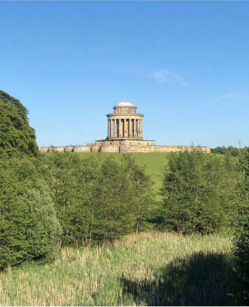
| Memorials | : | 1 |
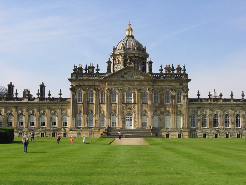
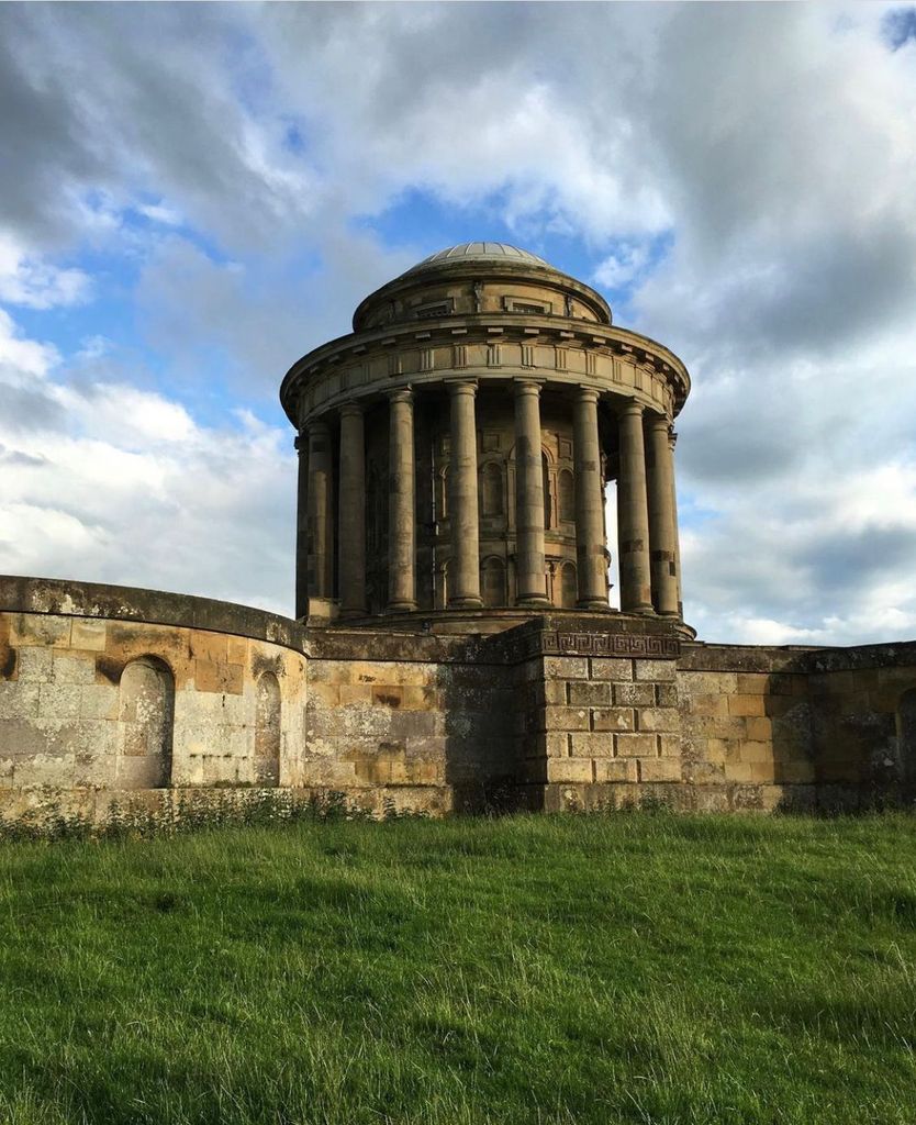
| Location | : | Castle Howard, Ryedale District, England |
| Coordinate | : | 54.1173870, -0.8886900 |
frequently asked questions (FAQ):
-
Where is Castle Howard Mausoleum?
Castle Howard Mausoleum is located at Castle Howard, Ryedale District ,North Yorkshire ,England.
-
Castle Howard Mausoleum cemetery's updated grave count on graveviews.com?
1 memorials
-
Where are the coordinates of the Castle Howard Mausoleum?
Latitude: 54.1173870
Longitude: -0.8886900

Nearby Cemetories:
1. Coneysthorpe Cemetery
Coneysthorpe, Ryedale District, England
Coordinate: 54.1308750, -0.9042820
2. St John the Evangelist Churchyard
Welburn (Malton), Ryedale District, England
Coordinate: 54.1008850, -0.8985440
3. St. Margaret's Churchyard
Huttons Ambo, Ryedale District, England
Coordinate: 54.1066490, -0.8490640
4. St Martin Churchyard
Bulmer, Ryedale District, England
Coordinate: 54.0997510, -0.9317700
5. Kirkham Priory
Kirkham, Ryedale District, England
Coordinate: 54.0826180, -0.8768470
6. All Saints Churchyard
Appleton-le-Street, Ryedale District, England
Coordinate: 54.1529500, -0.8766300
7. St Helen Churchyard
Amotherby, Ryedale District, England
Coordinate: 54.1512000, -0.8521000
8. St Michael Churchyard
Barton-le-Street, Ryedale District, England
Coordinate: 54.1587100, -0.8969600
9. St Michael Churchyard
Crambe, Ryedale District, England
Coordinate: 54.0744550, -0.8809390
10. St. Mary's Churchyard
Westow, Ryedale District, England
Coordinate: 54.0846190, -0.8406850
11. All Saints Churchyard
Foston, Ryedale District, England
Coordinate: 54.0775719, -0.9331510
12. Terrington Burial Ground
Terrington, Ryedale District, England
Coordinate: 54.1231640, -0.9717280
13. All Saints Churchyard
Terrington, Ryedale District, England
Coordinate: 54.1282770, -0.9735330
14. Slingsby Cemetery
Slingsby, Ryedale District, England
Coordinate: 54.1650600, -0.9256700
15. All Saints Churchyard
Slingsby, Ryedale District, England
Coordinate: 54.1655800, -0.9342900
16. Malton Cemetery
Malton, Ryedale District, England
Coordinate: 54.1392670, -0.7980300
17. St. Leonard with St. Mary Churchyard
Malton, Ryedale District, England
Coordinate: 54.1348110, -0.7946110
18. St Peter Churchyard
Norton, Ryedale District, England
Coordinate: 54.1289040, -0.7861910
19. Howsham Churchyard
Howsham, Ryedale District, England
Coordinate: 54.0565520, -0.8755670
20. Norton Cemetery
Norton, Ryedale District, England
Coordinate: 54.1306400, -0.7834200
21. St Andrew Churchyard
Langton, Ryedale District, England
Coordinate: 54.0934510, -0.7834680
22. Old Malton Cemetery
Malton, Ryedale District, England
Coordinate: 54.1443200, -0.7808900
23. Burythorpe Churchyard
Burythorpe, Ryedale District, England
Coordinate: 54.0752951, -0.7955984
24. St Mary the Virgin Priory Churchyard
Malton, Ryedale District, England
Coordinate: 54.1427520, -0.7786450