
| Memorials | : | 10 |
| Location | : | Appleton-le-Street, Ryedale District, England |
| Coordinate | : | 54.1529500, -0.8766300 |
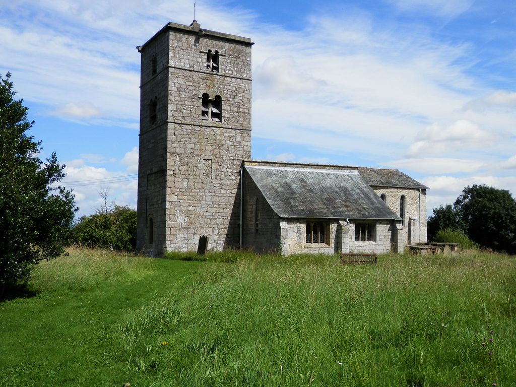
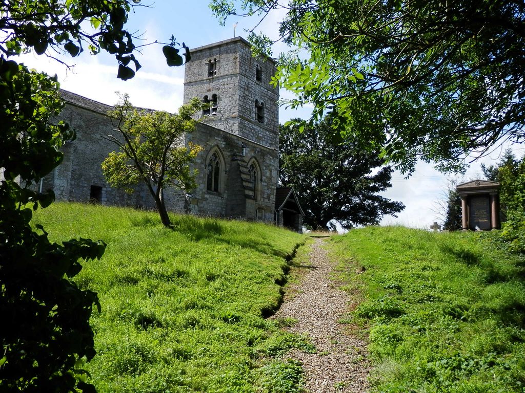
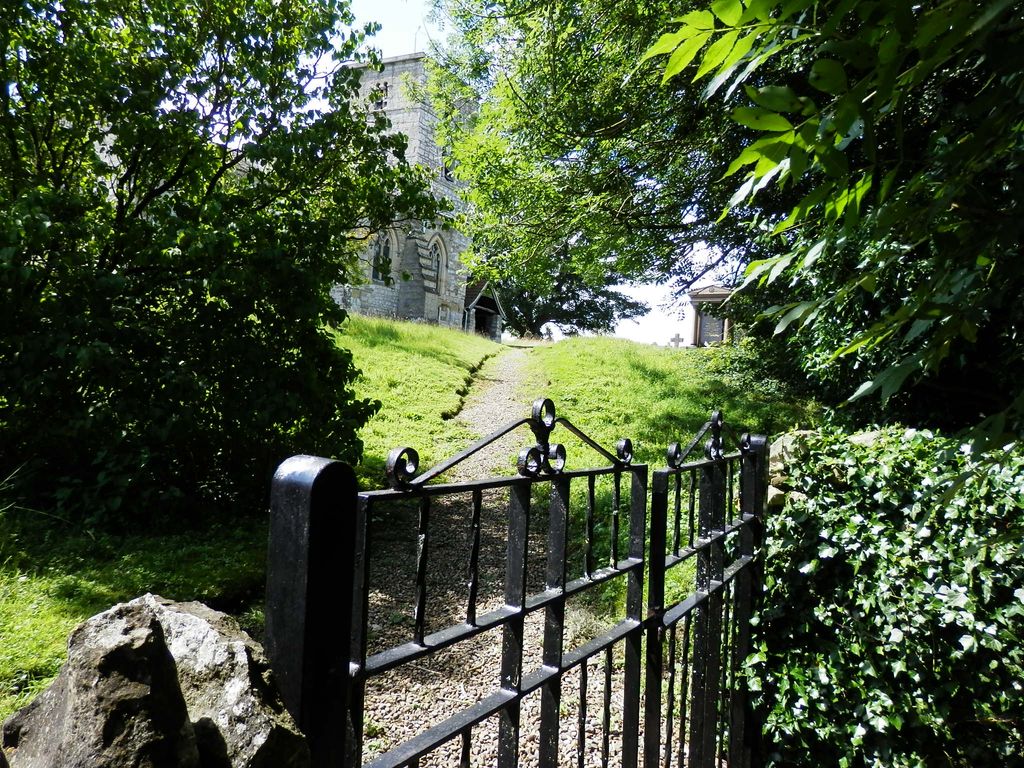
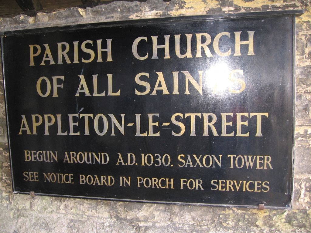
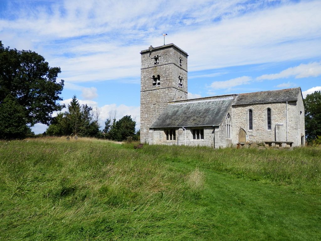
| Description | : | The village of Appleton-le-Street is situated on the Malton and Hovingham road, about four miles W.N.W. of the former town, and a mile West of Amotherby. All Saints Church, of Saxon origin, stands on high ground looking out over the Vale of Pickering. There may have been a pre-Christian temple on the site, and it is known that the Romans had a burial ground here. The first written reference to a church at Appleton is in a 12th century charter of Henry II, when the church was in the hands of the Abbey of St Albans. All Saints church boasts one of the... Read More |
frequently asked questions (FAQ):
-
Where is All Saints Churchyard?
All Saints Churchyard is located at Appleton-le-Street, Ryedale District ,North Yorkshire ,England.
-
All Saints Churchyard cemetery's updated grave count on graveviews.com?
10 memorials
-
Where are the coordinates of the All Saints Churchyard?
Latitude: 54.1529500
Longitude: -0.8766300
Nearby Cemetories:
1. St Michael Churchyard
Barton-le-Street, Ryedale District, England
Coordinate: 54.1587100, -0.8969600
2. St Helen Churchyard
Amotherby, Ryedale District, England
Coordinate: 54.1512000, -0.8521000
3. Coneysthorpe Cemetery
Coneysthorpe, Ryedale District, England
Coordinate: 54.1308750, -0.9042820
4. Slingsby Cemetery
Slingsby, Ryedale District, England
Coordinate: 54.1650600, -0.9256700
5. All Saints Churchyard
Slingsby, Ryedale District, England
Coordinate: 54.1655800, -0.9342900
6. Castle Howard Mausoleum
Castle Howard, Ryedale District, England
Coordinate: 54.1173870, -0.8886900
7. Malton Cemetery
Malton, Ryedale District, England
Coordinate: 54.1392670, -0.7980300
8. St. Margaret's Churchyard
Huttons Ambo, Ryedale District, England
Coordinate: 54.1066490, -0.8490640
9. St. Leonard with St. Mary Churchyard
Malton, Ryedale District, England
Coordinate: 54.1348110, -0.7946110
10. St John the Evangelist Churchyard
Welburn (Malton), Ryedale District, England
Coordinate: 54.1008850, -0.8985440
11. Old Malton Cemetery
Malton, Ryedale District, England
Coordinate: 54.1443200, -0.7808900
12. St Peter Churchyard
Norton, Ryedale District, England
Coordinate: 54.1289040, -0.7861910
13. St Mary the Virgin Priory Churchyard
Malton, Ryedale District, England
Coordinate: 54.1427520, -0.7786450
14. Norton Cemetery
Norton, Ryedale District, England
Coordinate: 54.1306400, -0.7834200
15. St. John of Beverley Parish Churchyard
Salton, Ryedale District, England
Coordinate: 54.2105680, -0.9028560
16. All Saints Churchyard
Terrington, Ryedale District, England
Coordinate: 54.1282770, -0.9735330
17. St Martin Churchyard
Bulmer, Ryedale District, England
Coordinate: 54.0997510, -0.9317700
18. Terrington Burial Ground
Terrington, Ryedale District, England
Coordinate: 54.1231640, -0.9717280
19. All Saints Churchyard
Hovingham, Ryedale District, England
Coordinate: 54.1728980, -0.9801260
20. Hovingham Cemetery
Hovingham, Ryedale District, England
Coordinate: 54.1753500, -0.9808900
21. St Laurence Churchyard
Kirby Misperton, Ryedale District, England
Coordinate: 54.2057120, -0.8070710
22. Kirkham Priory
Kirkham, Ryedale District, England
Coordinate: 54.0826180, -0.8768470
23. St. Mary's Churchyard
Westow, Ryedale District, England
Coordinate: 54.0846190, -0.8406850
24. St. Andrew's Churchyard
Normanby, Ryedale District, England
Coordinate: 54.2253710, -0.8744810