| Memorials | : | 0 |
| Location | : | Malton, Ryedale District, England |
| Coordinate | : | 54.1427520, -0.7786450 |
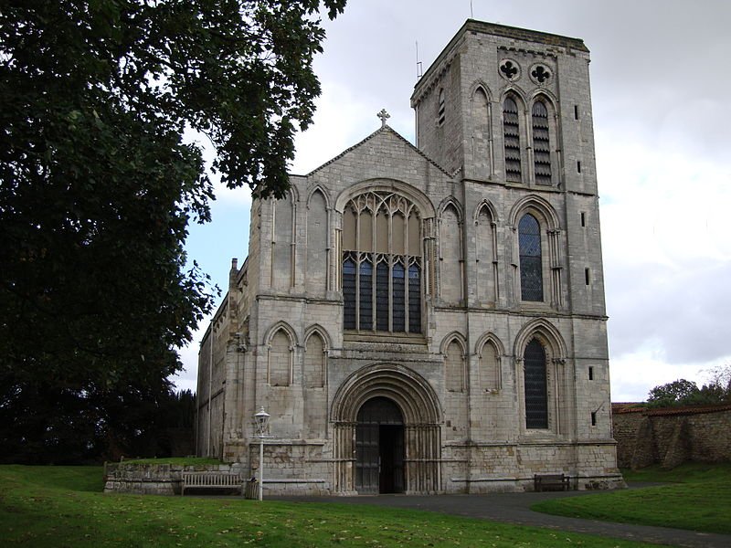
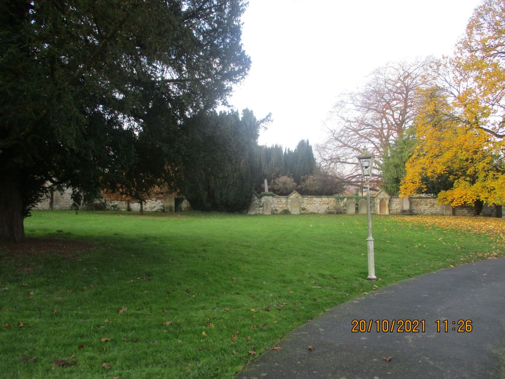
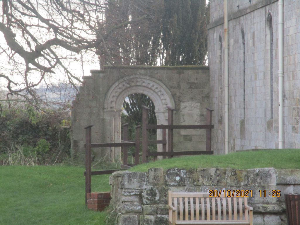
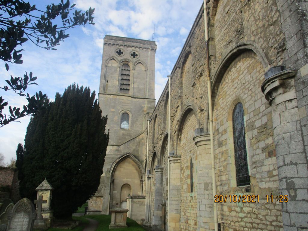
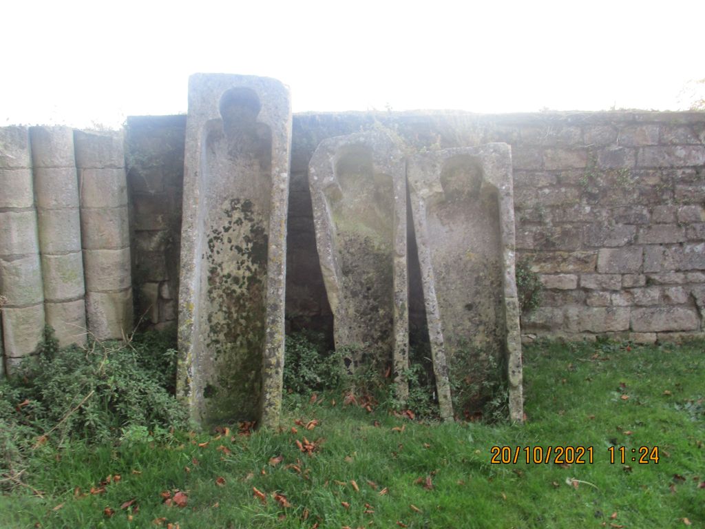
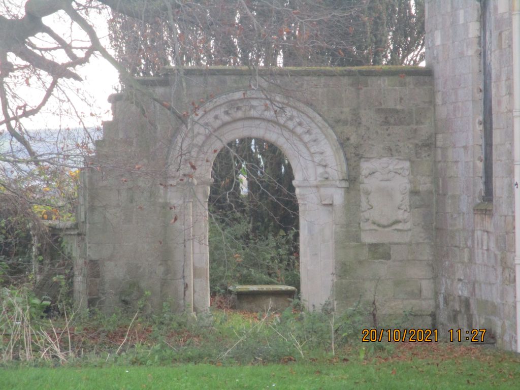
| Description | : | A monastery of the Gilbertine Order, founded by Eustace FitzJohn in about 1150. Very little remains of the original buildings or The Old Priory which were let to ruin at the Dissolution. The churchyard at St Mary the Virgin Priory Church was closed to burials in the mid 1800s. Malton Cemetery (opened 1859) and Old Malton (opened 1883) Cemetery were established under civic authorities to accommodate the burial needs of St Mary the Virgin parishioners and and other residents of the area. |
frequently asked questions (FAQ):
-
Where is St Mary the Virgin Priory Churchyard?
St Mary the Virgin Priory Churchyard is located at B1257 and Town Street Malton, Ryedale District ,North Yorkshire ,England.
-
St Mary the Virgin Priory Churchyard cemetery's updated grave count on graveviews.com?
0 memorials
-
Where are the coordinates of the St Mary the Virgin Priory Churchyard?
Latitude: 54.1427520
Longitude: -0.7786450
Nearby Cemetories:
1. Old Malton Cemetery
Malton, Ryedale District, England
Coordinate: 54.1443200, -0.7808900
2. Malton Cemetery
Malton, Ryedale District, England
Coordinate: 54.1392670, -0.7980300
3. St. Leonard with St. Mary Churchyard
Malton, Ryedale District, England
Coordinate: 54.1348110, -0.7946110
4. Norton Cemetery
Norton, Ryedale District, England
Coordinate: 54.1306400, -0.7834200
5. St Peter Churchyard
Norton, Ryedale District, England
Coordinate: 54.1289040, -0.7861910
6. Settrington Cemetery
Settrington, Ryedale District, England
Coordinate: 54.1254200, -0.7221700
7. All Saints Churchyard
Settrington, Ryedale District, England
Coordinate: 54.1212780, -0.7178830
8. St Helen Churchyard
Amotherby, Ryedale District, England
Coordinate: 54.1512000, -0.8521000
9. St Andrew Churchyard
Langton, Ryedale District, England
Coordinate: 54.0934510, -0.7834680
10. St. Andrew's Churchyard
Rillington, Ryedale District, England
Coordinate: 54.1579700, -0.6959800
11. St. Andrew’s Churchyard Extension
Rillington, Ryedale District, England
Coordinate: 54.1558500, -0.6926500
12. All Saints' Churchyard
Thorpe Bassett, Ryedale District, England
Coordinate: 54.1496503, -0.6875921
13. St. Margaret's Churchyard
Huttons Ambo, Ryedale District, England
Coordinate: 54.1066490, -0.8490640
14. St. Nicholas Churchyard
North Grimston, Ryedale District, England
Coordinate: 54.0989220, -0.7148680
15. All Saints Churchyard
Appleton-le-Street, Ryedale District, England
Coordinate: 54.1529500, -0.8766300
16. St Laurence Churchyard
Kirby Misperton, Ryedale District, England
Coordinate: 54.2057120, -0.8070710
17. St Mary Churchyard
Birdsall, Ryedale District, England
Coordinate: 54.0780000, -0.7508000
18. Burythorpe Churchyard
Burythorpe, Ryedale District, England
Coordinate: 54.0752951, -0.7955984
19. St. Mary's Churchyard
Westow, Ryedale District, England
Coordinate: 54.0846190, -0.8406850
20. Castle Howard Mausoleum
Castle Howard, Ryedale District, England
Coordinate: 54.1173870, -0.8886900
21. St Michael Churchyard
Barton-le-Street, Ryedale District, England
Coordinate: 54.1587100, -0.8969600
22. Coneysthorpe Cemetery
Coneysthorpe, Ryedale District, England
Coordinate: 54.1308750, -0.9042820
23. St Peter Churchyard
Wintringham, Ryedale District, England
Coordinate: 54.1467660, -0.6431680
24. St John the Evangelist Churchyard
Welburn (Malton), Ryedale District, England
Coordinate: 54.1008850, -0.8985440

