
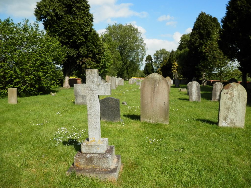
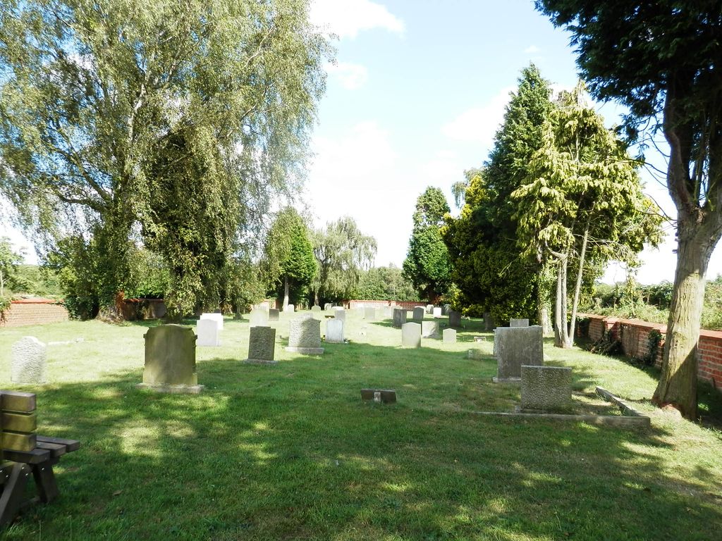
| Memorials | : | 69 |
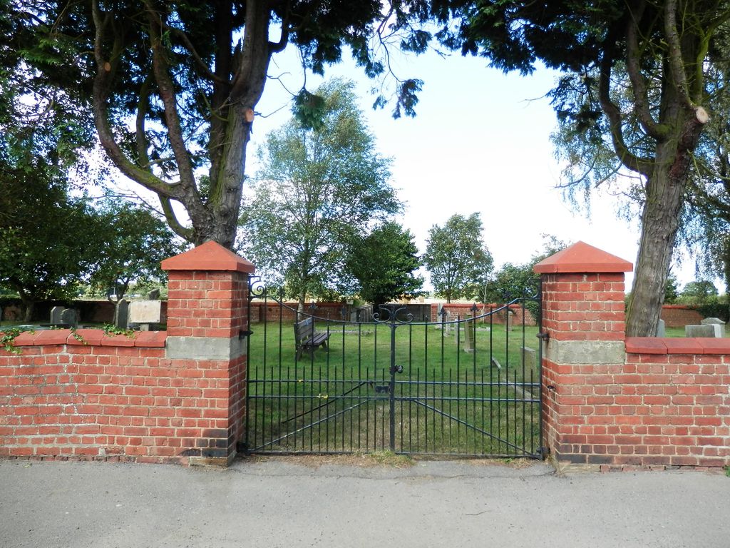
| Location | : | Slingsby, Ryedale District, England |
| Coordinate | : | 54.1650600, -0.9256700 |
frequently asked questions (FAQ):
-
Where is Slingsby Cemetery?
Slingsby Cemetery is located at Green Dyke Lane Slingsby, Ryedale District ,North Yorkshire ,England.
-
Slingsby Cemetery cemetery's updated grave count on graveviews.com?
69 memorials
-
Where are the coordinates of the Slingsby Cemetery?
Latitude: 54.1650600
Longitude: -0.9256700
Nearby Cemetories:
1. All Saints Churchyard
Slingsby, Ryedale District, England
Coordinate: 54.1655800, -0.9342900
2. St Michael Churchyard
Barton-le-Street, Ryedale District, England
Coordinate: 54.1587100, -0.8969600
3. All Saints Churchyard
Appleton-le-Street, Ryedale District, England
Coordinate: 54.1529500, -0.8766300
4. All Saints Churchyard
Hovingham, Ryedale District, England
Coordinate: 54.1728980, -0.9801260
5. Hovingham Cemetery
Hovingham, Ryedale District, England
Coordinate: 54.1753500, -0.9808900
6. Coneysthorpe Cemetery
Coneysthorpe, Ryedale District, England
Coordinate: 54.1308750, -0.9042820
7. St Helen Churchyard
Amotherby, Ryedale District, England
Coordinate: 54.1512000, -0.8521000
8. All Saints Churchyard
Terrington, Ryedale District, England
Coordinate: 54.1282770, -0.9735330
9. St. John of Beverley Parish Churchyard
Salton, Ryedale District, England
Coordinate: 54.2105680, -0.9028560
10. Stonegrave Minster Churchyard
Stonegrave, Ryedale District, England
Coordinate: 54.1925011, -0.9966000
11. All Saints and St James Church
Nunnington, Ryedale District, England
Coordinate: 54.2031000, -0.9806000
12. Terrington Burial Ground
Terrington, Ryedale District, England
Coordinate: 54.1231640, -0.9717280
13. St George the Martyr Churchyard
Scackleton, Ryedale District, England
Coordinate: 54.1457520, -1.0066750
14. Castle Howard Mausoleum
Castle Howard, Ryedale District, England
Coordinate: 54.1173870, -0.8886900
15. St Martin Churchyard
Bulmer, Ryedale District, England
Coordinate: 54.0997510, -0.9317700
16. St John the Evangelist Churchyard
Welburn (Malton), Ryedale District, England
Coordinate: 54.1008850, -0.8985440
17. St Peter Churchyard
Dalby, Hambleton District, England
Coordinate: 54.1329290, -1.0262920
18. St. Andrew's Churchyard
Normanby, Ryedale District, England
Coordinate: 54.2253710, -0.8744810
19. St. Margaret's Churchyard
Huttons Ambo, Ryedale District, England
Coordinate: 54.1066490, -0.8490640
20. St Martin Churchyard
Whenby, Hambleton District, England
Coordinate: 54.1202600, -1.0363700
21. Gilling New Churchyard
Gilling East, Ryedale District, England
Coordinate: 54.1856070, -1.0559535
22. Malton Cemetery
Malton, Ryedale District, England
Coordinate: 54.1392670, -0.7980300
23. Holy Cross Churchyard
Gilling East, Ryedale District, England
Coordinate: 54.1841290, -1.0580460
24. St Laurence Churchyard
Kirby Misperton, Ryedale District, England
Coordinate: 54.2057120, -0.8070710