
| Memorials | : | 0 |
| Location | : | Caterham, Tandridge District, England |
| Coordinate | : | 51.2824240, -0.0846160 |
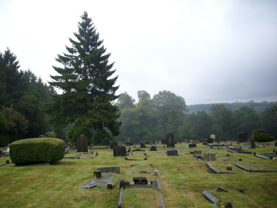
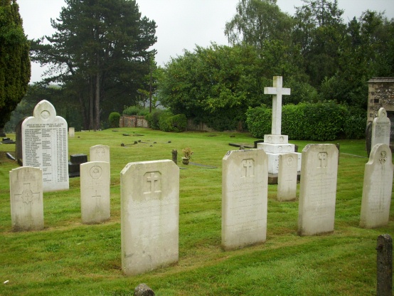
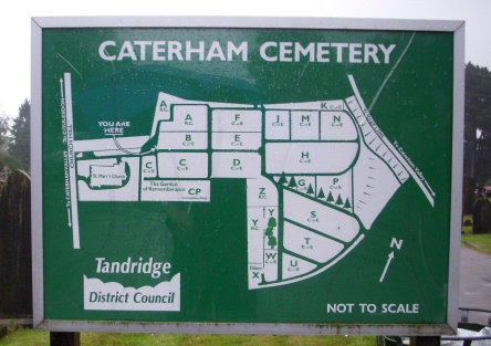
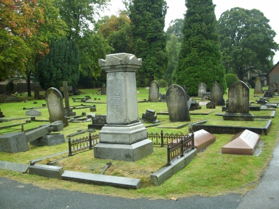
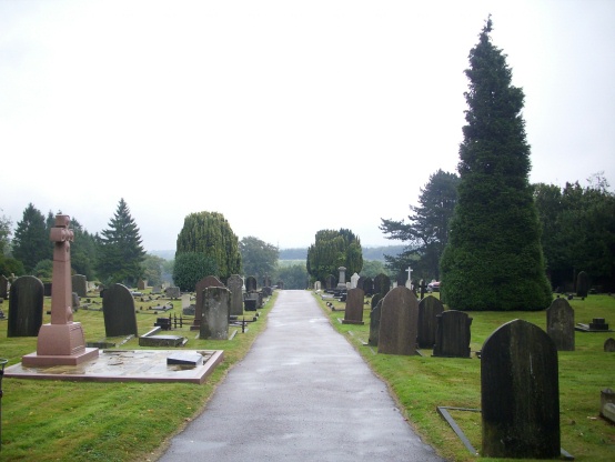
| Description | : | Caterham Cemetery is in the remit of Tandridge District Council |
frequently asked questions (FAQ):
-
Where is Caterham Cemetery?
Caterham Cemetery is located at Caterham, Tandridge District ,Surrey ,England.
-
Caterham Cemetery cemetery's updated grave count on graveviews.com?
0 memorials
-
Where are the coordinates of the Caterham Cemetery?
Latitude: 51.2824240
Longitude: -0.0846160

Nearby Cemetories:
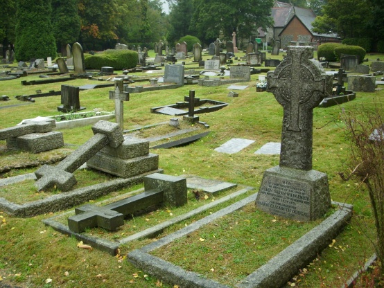
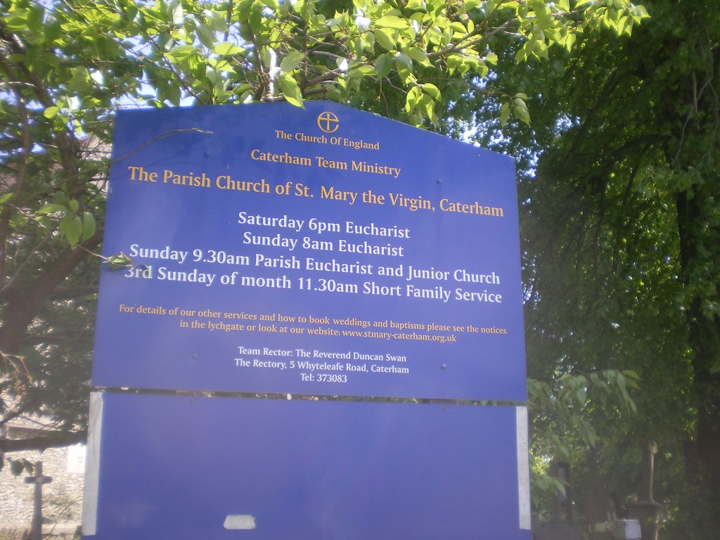
1. St. Mary the Virgin Churchyard
Caterham, Tandridge District, England
Coordinate: 51.2821440, -0.0856350
2. St Lawrence Church
Caterham, Tandridge District, England
Coordinate: 51.2820880, -0.0858740
3. St. Lawrence's Hospital Burial Ground
Caterham, Tandridge District, England
Coordinate: 51.2878640, -0.1079560
4. Convent of the Sacred Heart Cemetery
Woldingham, Tandridge District, England
Coordinate: 51.2755490, -0.0508110
5. Chaldon Saint Peter and Saint Paul Churchyard
Whyteleafe, Tandridge District, England
Coordinate: 51.2852778, -0.1248302
6. St Luke Churchyard
Whyteleafe, Tandridge District, England
Coordinate: 51.3079740, -0.0827840
7. St. Agatha Churchyard
Woldingham, Tandridge District, England
Coordinate: 51.2771930, -0.0350300
8. All Saints Churchyard
Warlingham, Tandridge District, England
Coordinate: 51.3133408, -0.0557738
9. Greenlawn Memorial Park
Warlingham, Tandridge District, England
Coordinate: 51.3079900, -0.0395000
10. Saint Nicholas Churchyard
Godstone, Tandridge District, England
Coordinate: 51.2465740, -0.0567650
11. Bletchingley Cemetery
Bletchingley, Tandridge District, England
Coordinate: 51.2411080, -0.0911120
12. St Mary Churchyard
Bletchingley, Tandridge District, England
Coordinate: 51.2413460, -0.0994430
13. St Katharine's Churchyard
Merstham, Reigate and Banstead Borough, England
Coordinate: 51.2689900, -0.1514700
14. St Peter and St Paul Churchyard
Nutfield, Tandridge District, England
Coordinate: 51.2419780, -0.1258540
15. St. Margaret's Churchyard
Hooley, Reigate and Banstead Borough, England
Coordinate: 51.2923980, -0.1602950
16. St James' Church Riddlesdown
Caterham, Tandridge District, England
Coordinate: 51.3302800, -0.1075140
17. St Peter Churchyard
Tandridge, Tandridge District, England
Coordinate: 51.2429480, -0.0320950
18. St Marys Churchyard
Farleigh, Tandridge District, England
Coordinate: 51.3233709, -0.0320591
19. St Mary the Virgin Churchyard
Oxted, Tandridge District, England
Coordinate: 51.2590680, -0.0086690
20. St. Leonard's Churchyard
Chelsham, Tandridge District, England
Coordinate: 51.3134100, -0.0083000
21. St Peter Churchyard
Limpsfield, Tandridge District, England
Coordinate: 51.2609596, 0.0123030
22. St James Churchyard
Titsey, Tandridge District, England
Coordinate: 51.2763810, 0.0186740
23. St Peter's Churchyard
Woodmansterne, Reigate and Banstead Borough, England
Coordinate: 51.3246900, -0.1693300
24. Redstone Cemetery
Redhill, Reigate and Banstead Borough, England
Coordinate: 51.2310910, -0.1601330