
| Memorials | : | 0 |
| Location | : | Redhill, Reigate and Banstead Borough, England |
| Coordinate | : | 51.2310910, -0.1601330 |
frequently asked questions (FAQ):
-
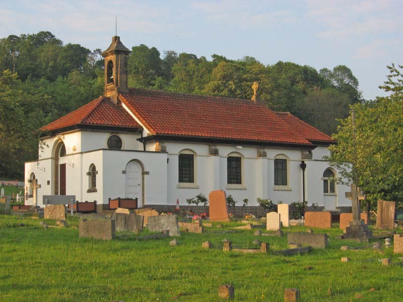
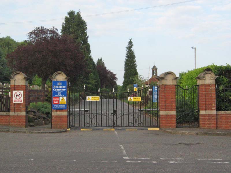
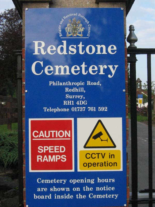
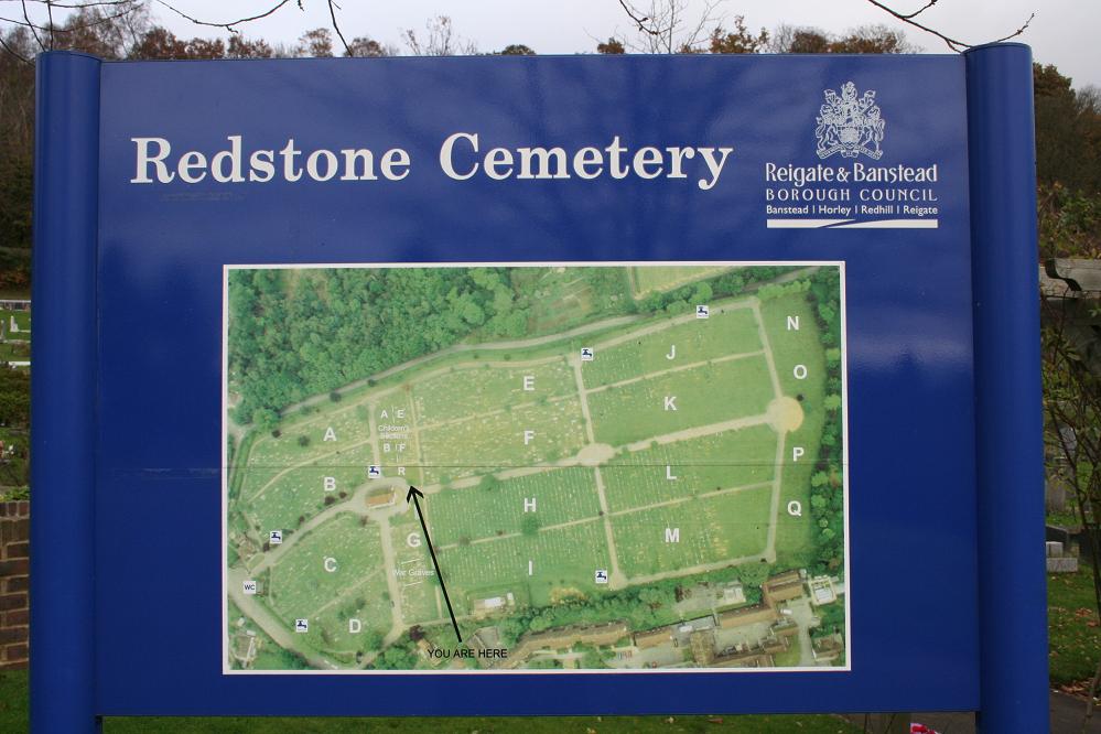
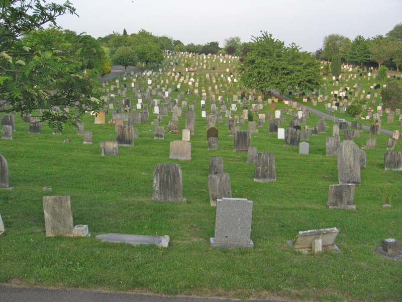
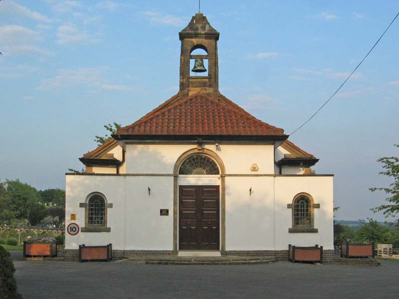
Where is Redstone Cemetery?
Redstone Cemetery is located at Philanthropic Road Redhill, Reigate and Banstead Borough ,Surrey , RH1 4DGEngland.
-
Redstone Cemetery cemetery's updated grave count on graveviews.com?
0 memorials
-
Where are the coordinates of the Redstone Cemetery?
Latitude: 51.2310910
Longitude: -0.1601330
Nearby Cemetories:
1. Quakers Burial Ground
Reigate, Reigate and Banstead Borough, England
Coordinate: 51.2372600, -0.1936700
2. St Mary Magdalene Churchyard
Reigate, Reigate and Banstead Borough, England
Coordinate: 51.2368540, -0.1972560
3. Reigate Cemetery
Reigate, Reigate and Banstead Borough, England
Coordinate: 51.2353550, -0.1977820
4. St Peter and St Paul Churchyard
Nutfield, Tandridge District, England
Coordinate: 51.2419780, -0.1258540
5. Sidlow Bridge Emmanuel Churchyard
Sidlow, Reigate and Banstead Borough, England
Coordinate: 51.2077270, -0.1989510
6. St Katharine's Churchyard
Merstham, Reigate and Banstead Borough, England
Coordinate: 51.2689900, -0.1514700
7. St Mary Churchyard
Bletchingley, Tandridge District, England
Coordinate: 51.2413460, -0.0994430
8. St John the Baptist Churchyard
Outwood, Tandridge District, England
Coordinate: 51.1981770, -0.1127510
9. Bletchingley Cemetery
Bletchingley, Tandridge District, England
Coordinate: 51.2411080, -0.0911120
10. St. Mary the Virgin Churchyard
Buckland, Mole Valley District, England
Coordinate: 51.2435590, -0.2511510
11. Chaldon Saint Peter and Saint Paul Churchyard
Whyteleafe, Tandridge District, England
Coordinate: 51.2852778, -0.1248302
12. St. Bartholomew's Churchyard
Leigh, Mole Valley District, England
Coordinate: 51.2085790, -0.2483520
13. Parish of Horley's New Churchyard
Horley, Reigate and Banstead Borough, England
Coordinate: 51.1711120, -0.1747610
14. Smallfield Ebenezer Chapel Cemetery
Smallfield, Tandridge District, England
Coordinate: 51.1770230, -0.1151960
15. St. Margaret's Churchyard
Hooley, Reigate and Banstead Borough, England
Coordinate: 51.2923980, -0.1602950
16. St. Bartholomew's Churchyard
Horley, Reigate and Banstead Borough, England
Coordinate: 51.1698000, -0.1758000
17. St. Lawrence's Hospital Burial Ground
Caterham, Tandridge District, England
Coordinate: 51.2878640, -0.1079560
18. St. Mary the Virgin Churchyard
Horne, Tandridge District, England
Coordinate: 51.1827330, -0.0886630
19. Saint Nicholas Churchyard
Godstone, Tandridge District, England
Coordinate: 51.2465740, -0.0567650
20. St. Michael's Churchyard
Betchworth, Mole Valley District, England
Coordinate: 51.2336480, -0.2673300
21. Betchworth Parish Council Burial Ground
Betchworth, Mole Valley District, England
Coordinate: 51.2349245, -0.2695398
22. St Lawrence Church
Caterham, Tandridge District, England
Coordinate: 51.2820880, -0.0858740
23. St. Mary the Virgin Churchyard
Caterham, Tandridge District, England
Coordinate: 51.2821440, -0.0856350
24. Caterham Cemetery
Caterham, Tandridge District, England
Coordinate: 51.2824240, -0.0846160