
| Memorials | : | 0 |
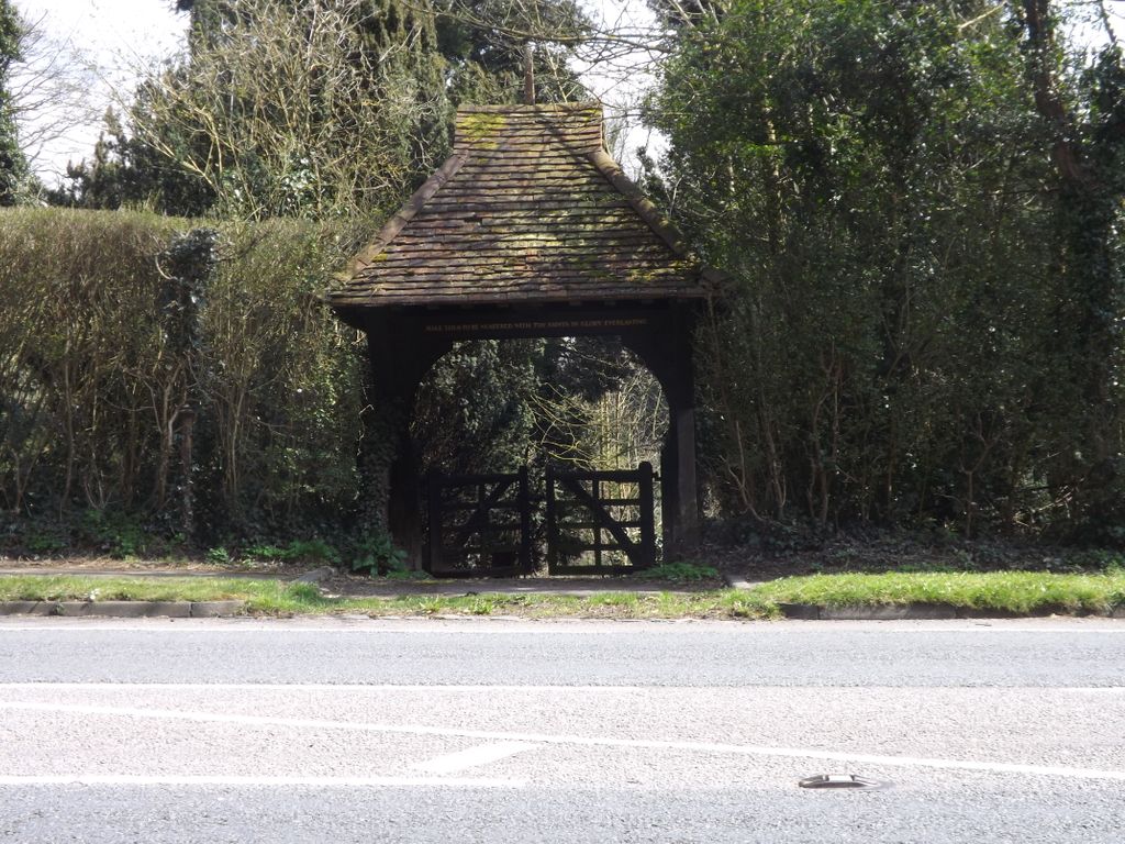
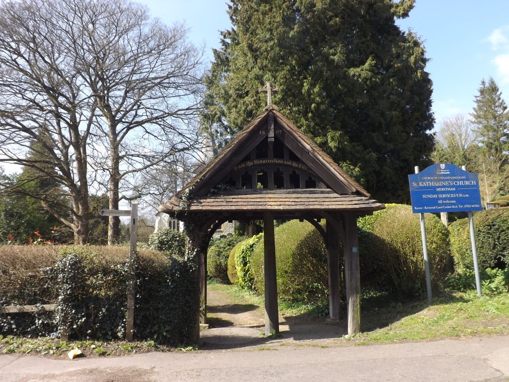
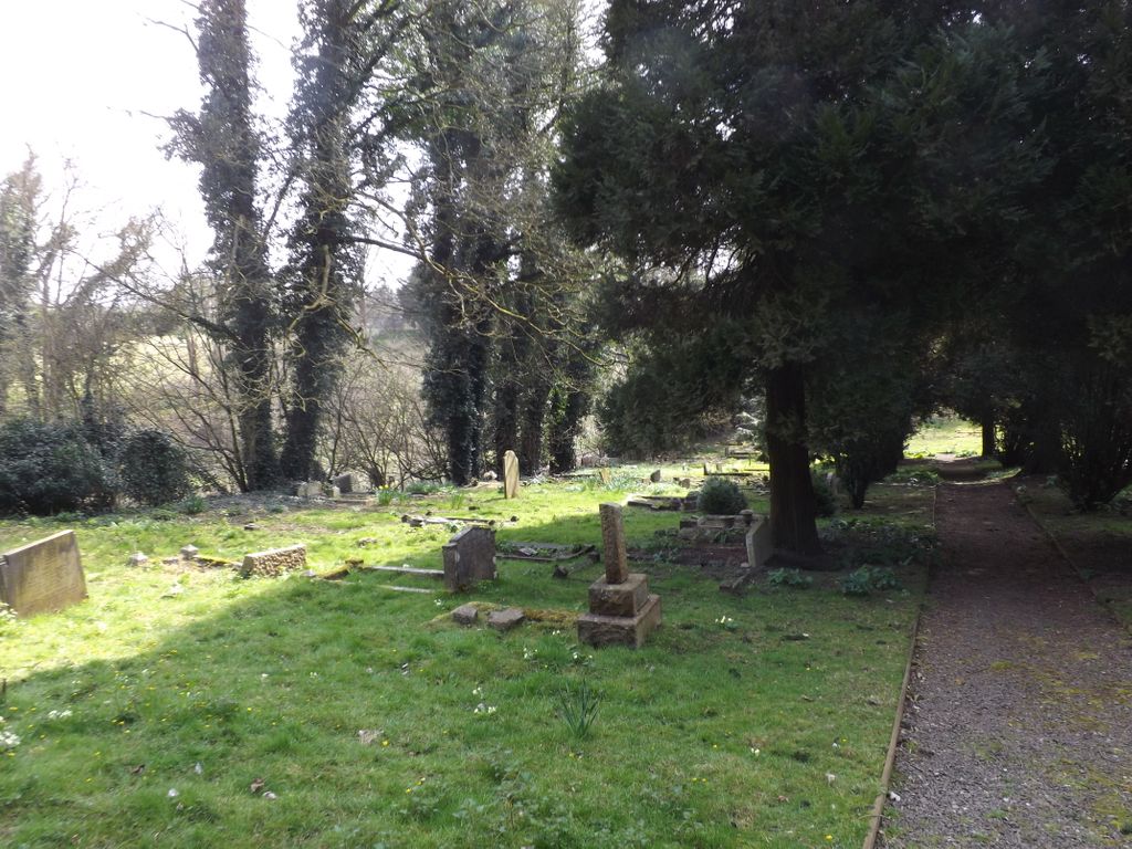
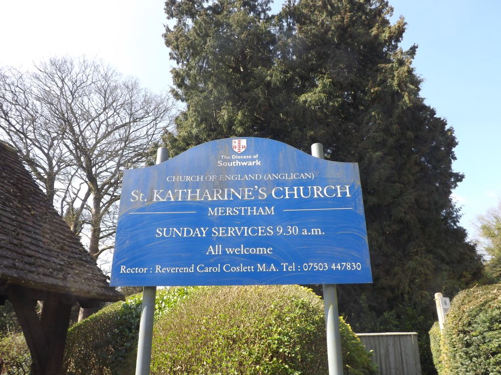
| Location | : | Merstham, Reigate and Banstead Borough, England |
| Coordinate | : | 51.2689900, -0.1514700 |
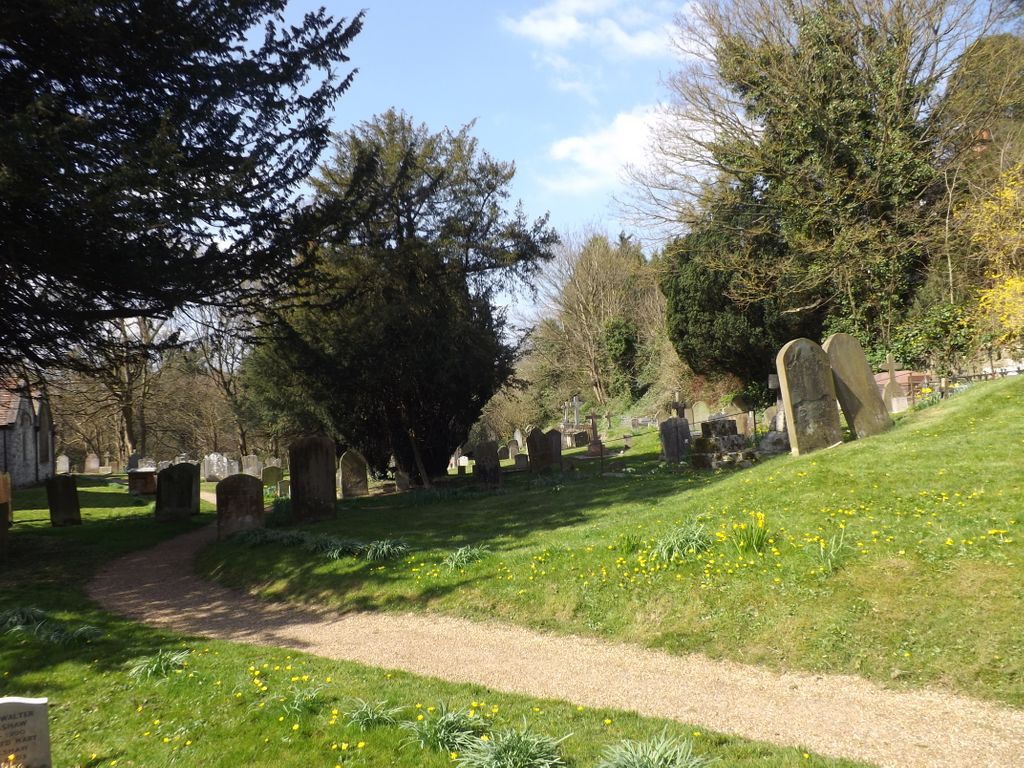
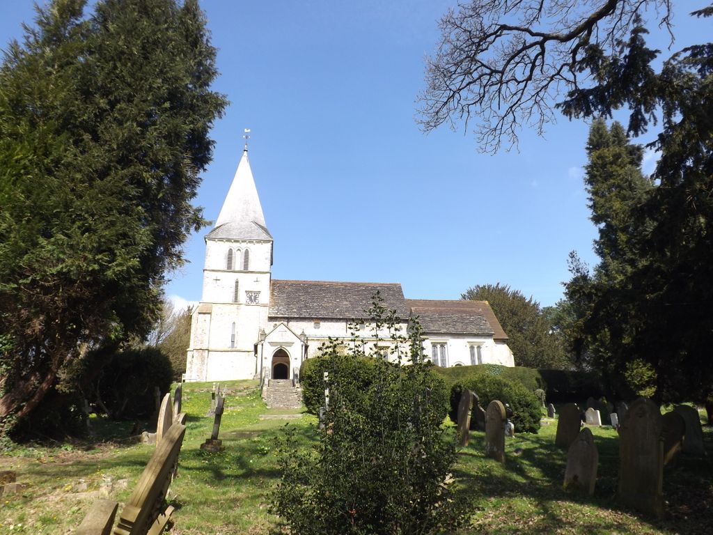
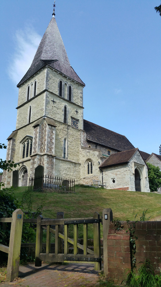
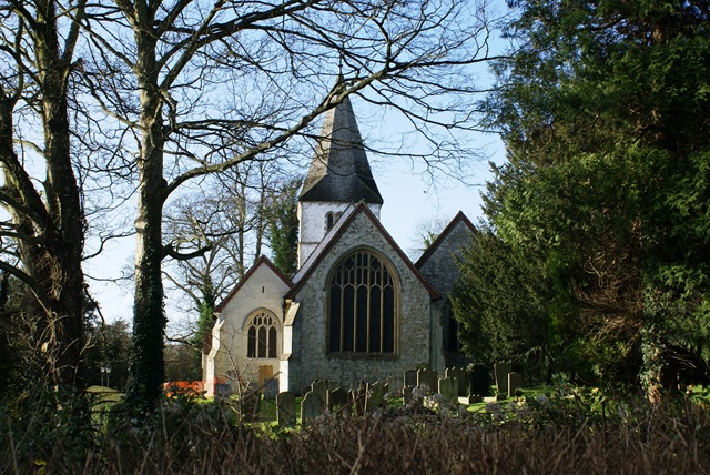
| Description | : | There are 7 wargraves in this Churchyard. |
frequently asked questions (FAQ):
-
Where is St Katharine's Churchyard?
St Katharine's Churchyard is located at Church Hill Merstham, Reigate and Banstead Borough ,Surrey , RH1 3BJEngland.
-
St Katharine's Churchyard cemetery's updated grave count on graveviews.com?
0 memorials
-
Where are the coordinates of the St Katharine's Churchyard?
Latitude: 51.2689900
Longitude: -0.1514700
Nearby Cemetories:
1. Chaldon Saint Peter and Saint Paul Churchyard
Whyteleafe, Tandridge District, England
Coordinate: 51.2852778, -0.1248302
2. St. Margaret's Churchyard
Hooley, Reigate and Banstead Borough, England
Coordinate: 51.2923980, -0.1602950
3. St Peter and St Paul Churchyard
Nutfield, Tandridge District, England
Coordinate: 51.2419780, -0.1258540
4. St. Lawrence's Hospital Burial Ground
Caterham, Tandridge District, England
Coordinate: 51.2878640, -0.1079560
5. Redstone Cemetery
Redhill, Reigate and Banstead Borough, England
Coordinate: 51.2310910, -0.1601330
6. Quakers Burial Ground
Reigate, Reigate and Banstead Borough, England
Coordinate: 51.2372600, -0.1936700
7. St Mary Churchyard
Bletchingley, Tandridge District, England
Coordinate: 51.2413460, -0.0994430
8. St Mary Magdalene Churchyard
Reigate, Reigate and Banstead Borough, England
Coordinate: 51.2368540, -0.1972560
9. St Lawrence Church
Caterham, Tandridge District, England
Coordinate: 51.2820880, -0.0858740
10. St. Mary the Virgin Churchyard
Caterham, Tandridge District, England
Coordinate: 51.2821440, -0.0856350
11. Caterham Cemetery
Caterham, Tandridge District, England
Coordinate: 51.2824240, -0.0846160
12. Reigate Cemetery
Reigate, Reigate and Banstead Borough, England
Coordinate: 51.2353550, -0.1977820
13. Bletchingley Cemetery
Bletchingley, Tandridge District, England
Coordinate: 51.2411080, -0.0911120
14. St Peter's Churchyard
Woodmansterne, Reigate and Banstead Borough, England
Coordinate: 51.3246900, -0.1693300
15. St Luke Churchyard
Whyteleafe, Tandridge District, England
Coordinate: 51.3079740, -0.0827840
16. Saint Peter's Church
Walton-on-the-Hill, Reigate and Banstead Borough, England
Coordinate: 51.2817810, -0.2467230
17. All Saints Churchyard
Banstead, Reigate and Banstead Borough, England
Coordinate: 51.3220583, -0.2008833
18. Convent of the Sacred Heart Cemetery
Woldingham, Tandridge District, England
Coordinate: 51.2755490, -0.0508110
19. Saint Nicholas Churchyard
Godstone, Tandridge District, England
Coordinate: 51.2465740, -0.0567650
20. St Ann's Memorial Garden
Banstead, Reigate and Banstead Borough, England
Coordinate: 51.3215180, -0.2120434
21. St James' Church Riddlesdown
Caterham, Tandridge District, England
Coordinate: 51.3302800, -0.1075140
22. St. Mary the Virgin Churchyard
Buckland, Mole Valley District, England
Coordinate: 51.2435590, -0.2511510
23. Sidlow Bridge Emmanuel Churchyard
Sidlow, Reigate and Banstead Borough, England
Coordinate: 51.2077270, -0.1989510
24. Banstead Hospital Cemetery
Banstead, Reigate and Banstead Borough, England
Coordinate: 51.3389400, -0.1849100