| Memorials | : | 56 |
| Location | : | Inwood, Berkeley County, USA |
| Coordinate | : | 39.3476900, -77.9884700 |
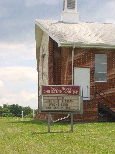
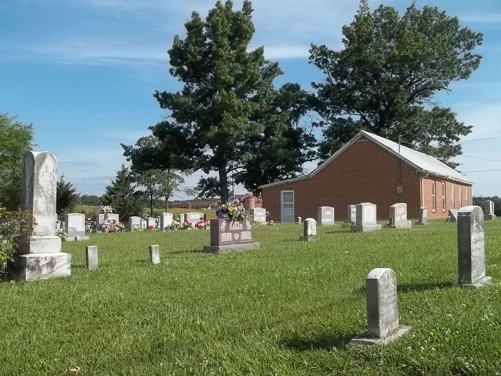
| Description | : | Located east of Inwood on Sulpher Springs Rd. (CR 51/7), near Lamplight Rd. On May 2, 1894, Samuel Mohler and Hulda C. Mohler, his wife deeded to Abraham H. VanMeter, Josiah Gruber, Samuel Mohler, William H. Miller and Edward Brown, trustees of the Congregation at Cedar Grove a "certain lot or parcel of ground ... on the public road leading from Bunker Hill to the Sulphur Spring ... containing 1 acre and 19.3 poles ... to the use of said Congregation as a place of public worship." The original church was built in 1894 and remodeled in 1968. ... Read More |
frequently asked questions (FAQ):
-
Where is Cedar Grove Christian Church Cemetery?
Cedar Grove Christian Church Cemetery is located at Inwood, Berkeley County ,West Virginia ,USA.
-
Cedar Grove Christian Church Cemetery cemetery's updated grave count on graveviews.com?
56 memorials
-
Where are the coordinates of the Cedar Grove Christian Church Cemetery?
Latitude: 39.3476900
Longitude: -77.9884700
Nearby Cemetories:
1. Saint Leo Cemetery
Inwood, Berkeley County, USA
Coordinate: 39.3541985, -77.9876022
2. Mountain View Church of the Brethren Cemetery
Inwood, Berkeley County, USA
Coordinate: 39.3320600, -78.0146000
3. Priestfield Pastoral Center Cemetery
Middleway, Jefferson County, USA
Coordinate: 39.3185143, -77.9886678
4. Fox Middleway Cemetery Lot
Kearneysville, Jefferson County, USA
Coordinate: 39.3225720, -77.9562790
5. Darkesville Cemetery
Darkesville, Berkeley County, USA
Coordinate: 39.3783300, -78.0191500
6. Union Church Cemetery
Middleway, Jefferson County, USA
Coordinate: 39.3041560, -77.9817900
7. Middleway Masonic Cemetery
Middleway, Jefferson County, USA
Coordinate: 39.3035860, -77.9800060
8. Grace Episcopal Church Cemetery
Middleway, Jefferson County, USA
Coordinate: 39.3035011, -77.9806976
9. Watson Graveyard
Middleway, Jefferson County, USA
Coordinate: 39.3019000, -77.9822250
10. Saint Bartholomews Episcopal Church Cemetery
Leetown, Jefferson County, USA
Coordinate: 39.3553800, -77.9269900
11. Weaver Family Cemetery
Middleway, Jefferson County, USA
Coordinate: 39.2981410, -77.9846050
12. Mount Tabor Church Cemetery
Bunker Hill, Berkeley County, USA
Coordinate: 39.3317032, -78.0534286
13. Bunker Hill Cemetery
Bunker Hill, Berkeley County, USA
Coordinate: 39.3339005, -78.0585022
14. Poor Farm Cemetery
Kearneysville, Jefferson County, USA
Coordinate: 39.3345590, -77.9094350
15. Mount Zion Baptist Church Cemetery
Martinsburg, Berkeley County, USA
Coordinate: 39.3889000, -77.9237700
16. Snider Cemetery
Jones Springs, Berkeley County, USA
Coordinate: 39.2912590, -78.0344780
17. New Hopewell Cemetery
Kearneysville, Jefferson County, USA
Coordinate: 39.3520000, -77.8990000
18. Washington Burial Ground
Charles Town, Jefferson County, USA
Coordinate: 39.3020379, -77.9163828
19. VanMetre Cemetery
Baker Heights, Berkeley County, USA
Coordinate: 39.3962631, -77.9160690
20. Douglass Grove Cemetery
Berkeley County, USA
Coordinate: 39.4182000, -77.9550500
21. Shepherd Family Cemetery
Douglas Grove, Berkeley County, USA
Coordinate: 39.4180940, -77.9543920
22. Johnsontown Cemetery
Johnsontown, Jefferson County, USA
Coordinate: 39.3404200, -77.8910700
23. Paynes Chapel Cemetery
Bunker Hill, Berkeley County, USA
Coordinate: 39.2897700, -78.0539900
24. Old Quaker Cemetery
Martinsburg, Berkeley County, USA
Coordinate: 39.4191960, -78.0403630


