
| Memorials | : | 5 |
| Location | : | Bunker Hill, Berkeley County, USA |
| Coordinate | : | 39.3339005, -78.0585022 |
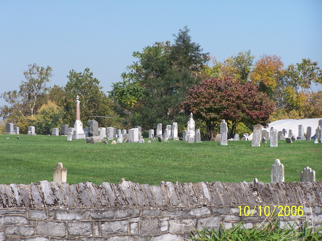
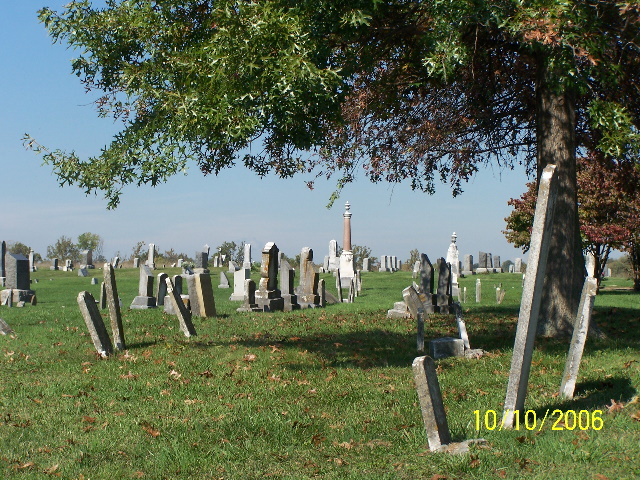
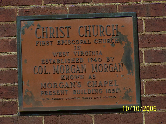
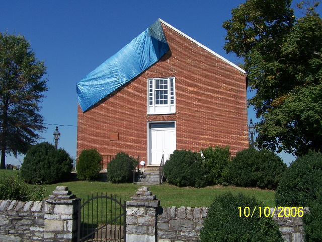
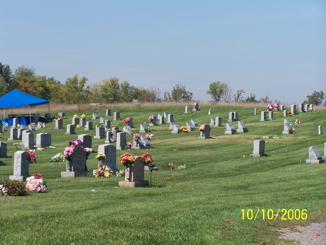
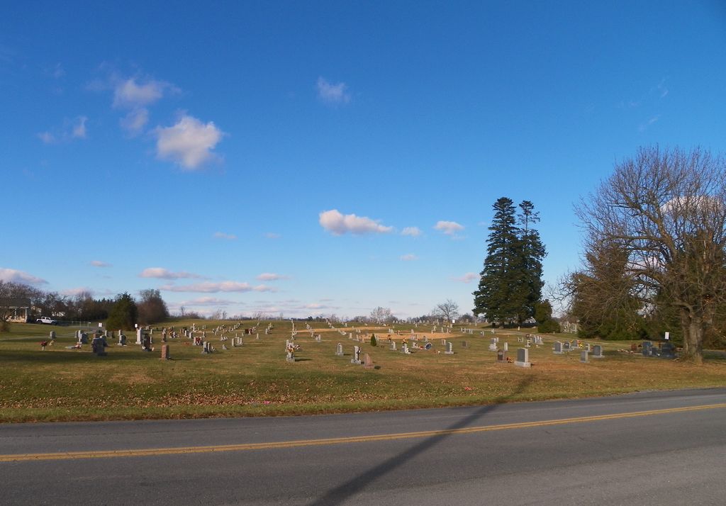
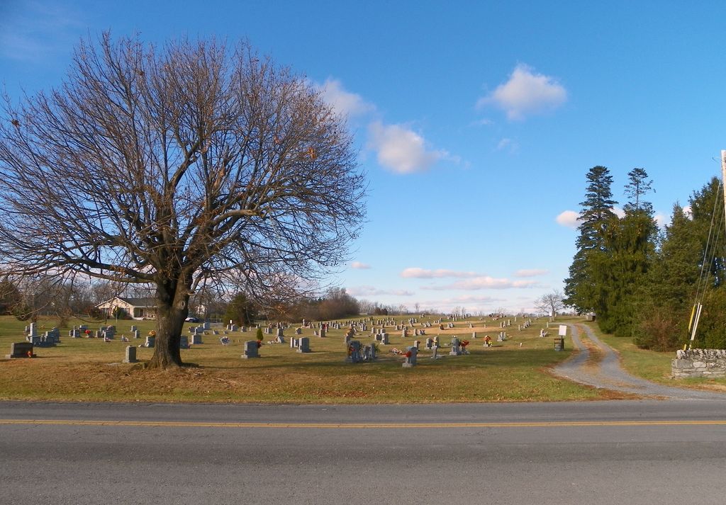
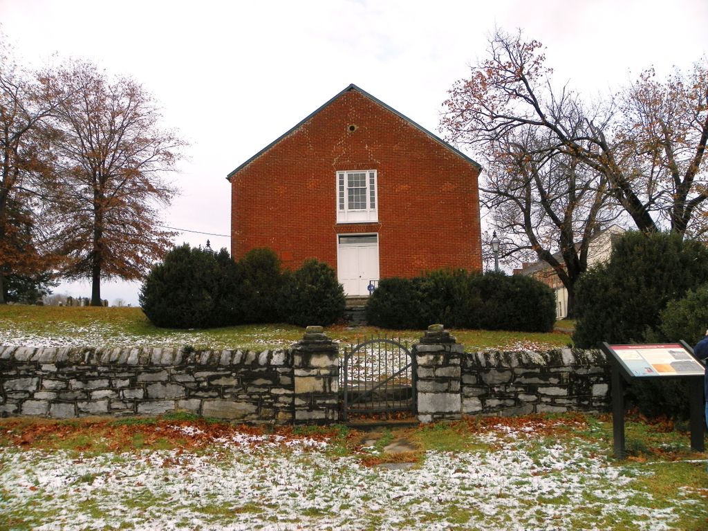
| Description | : | In the town of Bunker Hill, west of Rt. 11 on Runnymeade Rd. (CR 26) for about 1,000 feet. The cemetery is the new section around Morgan Chapel. The old section is less than two acres and still remains in the ownership of the Episcopal Church. About four acres was conveyed to the Bunker Hill Cemetery Association from J. Ward Lamon on Jan. 6, 1923. The Bunker Hill Cemetery Association sold off 1.25 acres to the Dunn Woolen Company on Jan. 18, 1923 leaving it with 2.75 acres. The Bunker Hill Cemetery Association was incorporated on Nov. 23, 1920 and lasted for 50... Read More |
frequently asked questions (FAQ):
-
Where is Bunker Hill Cemetery?
Bunker Hill Cemetery is located at Bunker Hill, Berkeley County ,West Virginia ,USA.
-
Bunker Hill Cemetery cemetery's updated grave count on graveviews.com?
4 memorials
-
Where are the coordinates of the Bunker Hill Cemetery?
Latitude: 39.3339005
Longitude: -78.0585022
Nearby Cemetories:
1. Mount Tabor Church Cemetery
Bunker Hill, Berkeley County, USA
Coordinate: 39.3317032, -78.0534286
2. Mountain View Church of the Brethren Cemetery
Inwood, Berkeley County, USA
Coordinate: 39.3320600, -78.0146000
3. Paynes Chapel Cemetery
Bunker Hill, Berkeley County, USA
Coordinate: 39.2897700, -78.0539900
4. Weidman - Suver Cemetery
Bunker Hill, Berkeley County, USA
Coordinate: 39.3335340, -78.1162690
5. Rest United Methodist Church Cemetery
Rest, Frederick County, USA
Coordinate: 39.2919006, -78.0820999
6. Snider Cemetery
Jones Springs, Berkeley County, USA
Coordinate: 39.2912590, -78.0344780
7. Gerrardstown Presbyterian Church Cemetery
Gerrardstown, Berkeley County, USA
Coordinate: 39.3692398, -78.0989532
8. Lutheran Cemetery
Gerrardstown, Berkeley County, USA
Coordinate: 39.3735008, -78.0972977
9. Darkesville Cemetery
Darkesville, Berkeley County, USA
Coordinate: 39.3783300, -78.0191500
10. Cedar Grove Christian Church Cemetery
Inwood, Berkeley County, USA
Coordinate: 39.3476900, -77.9884700
11. Priestfield Pastoral Center Cemetery
Middleway, Jefferson County, USA
Coordinate: 39.3185143, -77.9886678
12. Saint Leo Cemetery
Inwood, Berkeley County, USA
Coordinate: 39.3541985, -77.9876022
13. Mount Pleasant Cemetery
Gerrardstown, Berkeley County, USA
Coordinate: 39.3338730, -78.1343120
14. Mount Olive Cemetery
Gerrardstown, Berkeley County, USA
Coordinate: 39.3647780, -78.1253350
15. Union Church Cemetery
Middleway, Jefferson County, USA
Coordinate: 39.3041560, -77.9817900
16. Watson Graveyard
Middleway, Jefferson County, USA
Coordinate: 39.3019000, -77.9822250
17. Grace Episcopal Church Cemetery
Middleway, Jefferson County, USA
Coordinate: 39.3035011, -77.9806976
18. Weaver Family Cemetery
Middleway, Jefferson County, USA
Coordinate: 39.2981410, -77.9846050
19. Middleway Masonic Cemetery
Middleway, Jefferson County, USA
Coordinate: 39.3035860, -77.9800060
20. Grace Bible Fellowship Cemetery
Clear Brook, Frederick County, USA
Coordinate: 39.2643747, -78.0620388
21. Fox Middleway Cemetery Lot
Kearneysville, Jefferson County, USA
Coordinate: 39.3225720, -77.9562790
22. White Hall United Methodist Church Cemetery
White Hall, Frederick County, USA
Coordinate: 39.2937012, -78.1489029
23. Brucetown United Methodist Church Cemetery
Clear Brook, Frederick County, USA
Coordinate: 39.2524986, -78.0606003
24. Arden United Methodist Church Cemetery
Martinsburg, Berkeley County, USA
Coordinate: 39.4190407, -78.0407562