
| Memorials | : | 0 |
| Location | : | Bersted, Arun District, England |
| Coordinate | : | 50.7960950, -0.7002410 |
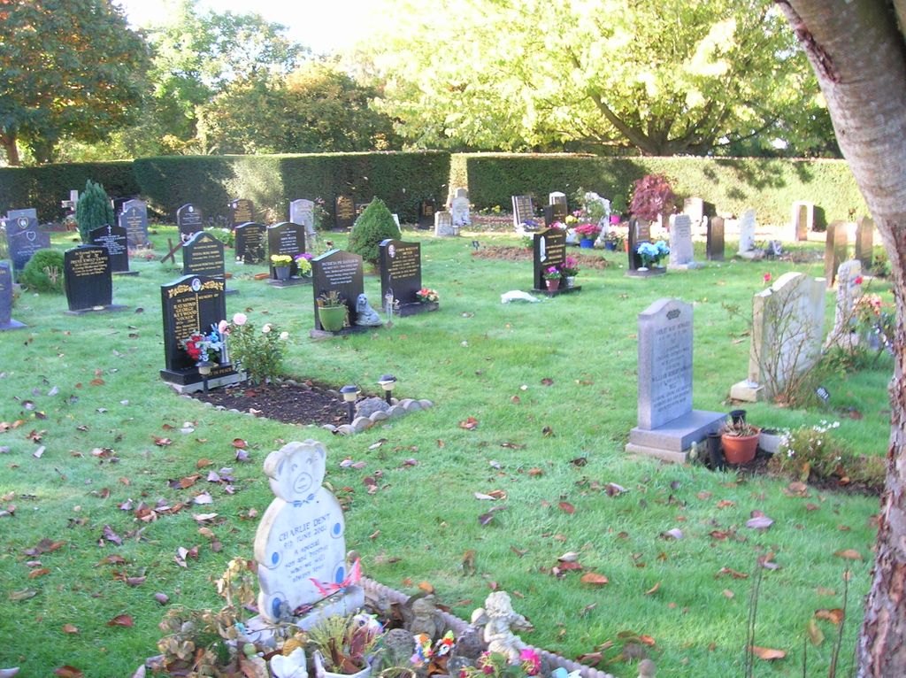
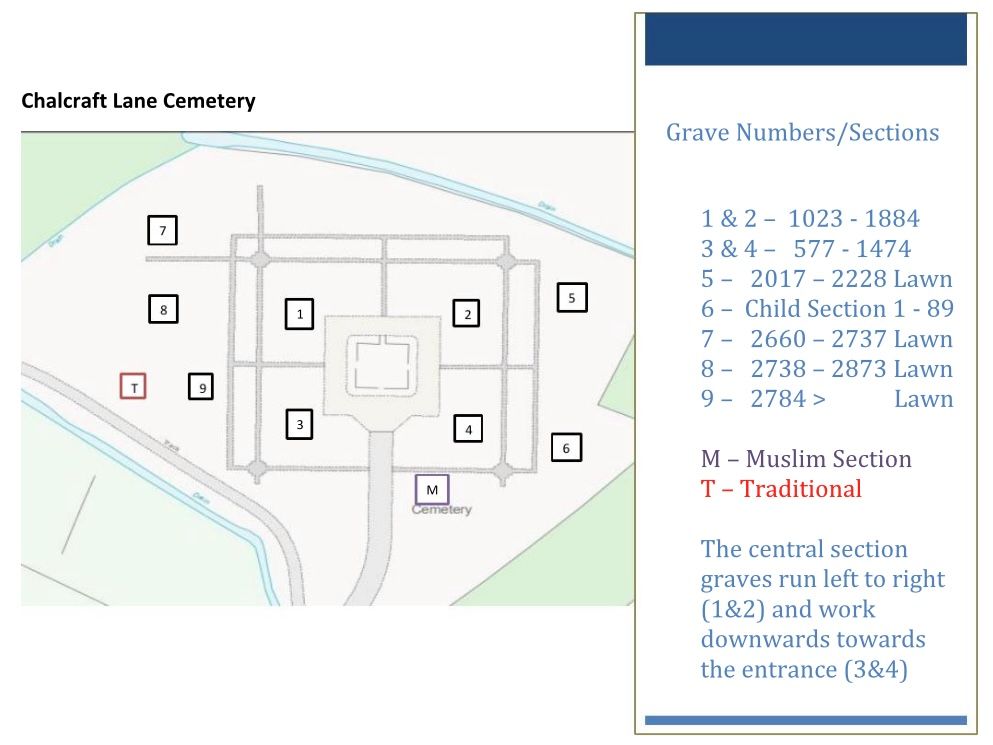
| Description | : | Registers for this cemetery can be viewed on Ancestry. The cemetery contains mostly graves from about the last 20 years. It is not easy to find a grave from the plot number as there is no map on display and few graves have a plot number on them. |
frequently asked questions (FAQ):
-
Where is Chalcraft Lane Cemetery?
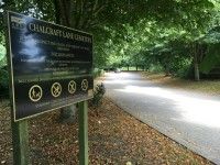
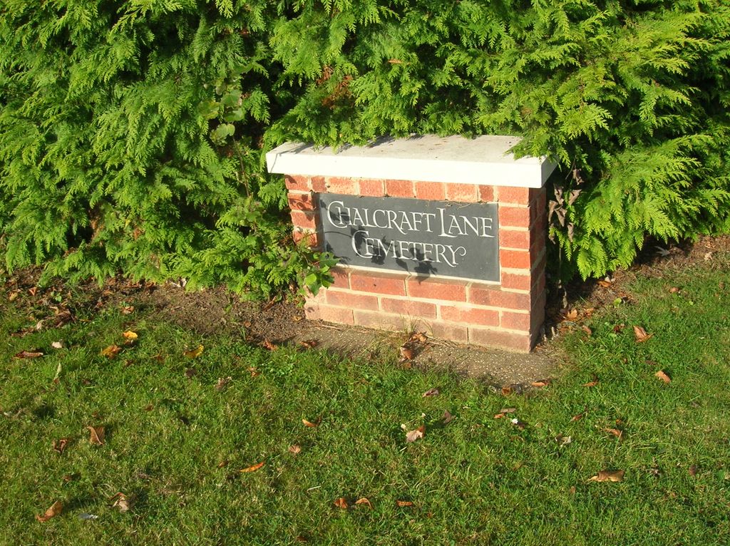
Chalcraft Lane Cemetery is located at West Mead Drive, Chalcraft Lane Bersted, Arun District ,West Sussex , PO21 5SUEngland.
-
Chalcraft Lane Cemetery cemetery's updated grave count on graveviews.com?
0 memorials
-
Where are the coordinates of the Chalcraft Lane Cemetery?
Latitude: 50.7960950
Longitude: -0.7002410
Nearby Cemetories:
1. Bognor Regis Old Cemetery
Bognor Regis, Arun District, England
Coordinate: 50.7907867, -0.6811950
2. St Mary Magdalene Churchyard
South Bersted, Arun District, England
Coordinate: 50.7940070, -0.6751900
3. St. Stephen Churchyard
North Mundham, Chichester District, England
Coordinate: 50.8122060, -0.7603850
4. St Andrew Churchyard and Extension
Oving, Chichester District, England
Coordinate: 50.8379190, -0.7219220
5. St Mary The Virgin Churchyard
Barnham, Arun District, England
Coordinate: 50.8236310, -0.6436550
6. St Mary Churchyard
Aldingbourne, Arun District, England
Coordinate: 50.8436400, -0.6935500
7. Saint George's Churchyard
Eastergate, Arun District, England
Coordinate: 50.8379600, -0.6592400
8. St Andrew Churchyard
Tangmere, Chichester District, England
Coordinate: 50.8479850, -0.7207170
9. St. Mary's Churchyard
Chichester, Chichester District, England
Coordinate: 50.8300340, -0.7659220
10. St Nicholas Churchyard
Middleton-on-Sea, Arun District, England
Coordinate: 50.7942900, -0.6147400
11. Portfield Cemetery
Chichester, Chichester District, England
Coordinate: 50.8408650, -0.7581440
12. St Wilfrid Churchyard
Church Norton, Chichester District, England
Coordinate: 50.7549150, -0.7651610
13. Chichester Crematorium and Garden of Remembrance
Chichester, Chichester District, England
Coordinate: 50.8438740, -0.7593710
14. St Peter Churchyard
Westhampnett, Chichester District, England
Coordinate: 50.8483570, -0.7501950
15. St Andrew Oxmarket Churchyard
Chichester, Chichester District, England
Coordinate: 50.8366000, -0.7769000
16. St Mary and St Blaise Church
Boxgrove, Chichester District, England
Coordinate: 50.8599300, -0.7110320
17. St. Mary the Virgin
Yapton, Arun District, England
Coordinate: 50.8230000, -0.6076000
18. Chichester Cathedral
Chichester, Chichester District, England
Coordinate: 50.8362579, -0.7806380
19. St Mary Churchyard
Walberton, Arun District, England
Coordinate: 50.8436840, -0.6186680
20. Goodwood Motor Circuit Cemetery
Chichester, Chichester District, England
Coordinate: 50.8579000, -0.7538800
21. St Mary Churchyard
Climping (Clymping), Arun District, England
Coordinate: 50.8137720, -0.5777690
22. Goodwood House
Chichester, Chichester District, England
Coordinate: 50.8723110, -0.7394830
23. St Mary Churchyard
Slindon, Arun District, England
Coordinate: 50.8666480, -0.6355800
24. St Andrew-by-the-Ford Church
Ford, Arun District, England
Coordinate: 50.8242700, -0.5780060