
| Memorials | : | 275 |
| Location | : | Orchardville, Grey County, Canada |
| Coordinate | : | 44.0547780, -80.7958600 |
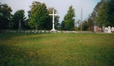
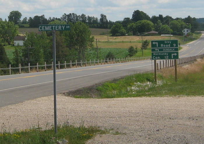
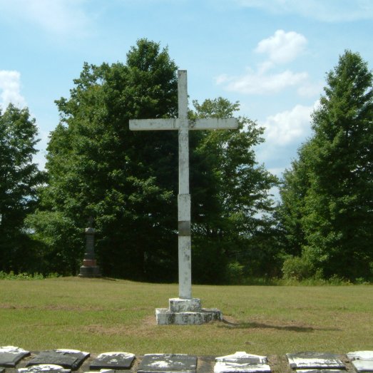
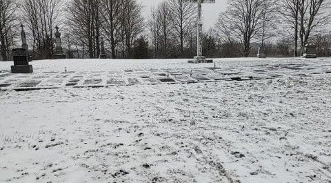
| Description | : | The cemetery is located up a short gravel-road called "Cemetery Road", which runs parallel to the west side of Highway 6. It is just north of the intersection of Dundalk Road (County Road 9) and Highway 6, however, the cemetery is not visible from the highway. This two acre plot was used for burials of early Catholic settlers from Durham, Ayton, and Mount Forest until each of these parishes obtained its own burial ground. This cemetery is also known as "Union Cemetery". The earliest burial recorded was that of Thomas McIntee in 1840. The large white cross was installed by... Read More |
frequently asked questions (FAQ):
-
Where is Chapel Hill Roman Catholic Cemetery?
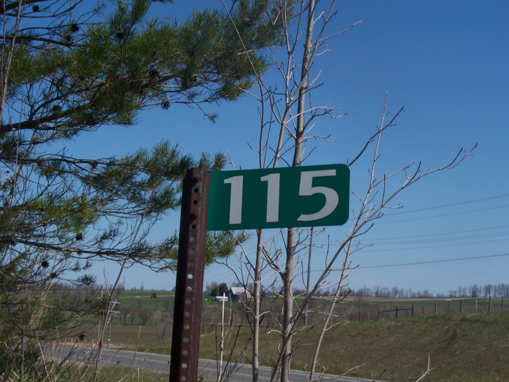
Chapel Hill Roman Catholic Cemetery is located at 115, Lot 12, Con. 1, Normanby Twp. Orchardville, Grey County ,Ontario ,Canada.
-
Chapel Hill Roman Catholic Cemetery cemetery's updated grave count on graveviews.com?
271 memorials
-
Where are the coordinates of the Chapel Hill Roman Catholic Cemetery?
Latitude: 44.0547780
Longitude: -80.7958600
Nearby Cemetories:
1. Hiltz Methodist Cemetery
Southgate Township, Grey County, Canada
Coordinate: 44.0415434, -80.7565276
2. Holstein Cemetery
Holstein, Grey County, Canada
Coordinate: 44.0708100, -80.7424700
3. Cochrane Cemetery
Mount Forest, Wellington County, Canada
Coordinate: 44.0028500, -80.7740300
4. Maplewood Cemetery
West Grey Township, Grey County, Canada
Coordinate: 44.1159400, -80.8053000
5. Mount Pleasant Cemetery
Calderwood, Grey County, Canada
Coordinate: 44.0185310, -80.8731250
6. Mount Forest Cemetery
Southgate Township, Grey County, Canada
Coordinate: 44.0039100, -80.7266500
7. Chilton Cemetery
Normanby Township, Grey County, Canada
Coordinate: 43.9811480, -80.8129810
8. Woodland Cemetery
Egremont Township, Grey County, Canada
Coordinate: 44.0238904, -80.6774183
9. Trinity Lutheran Cemetery
Ayton, Grey County, Canada
Coordinate: 44.0579900, -80.9234900
10. Holy Cross Roman Catholic Cemetery
Mount Forest, Wellington County, Canada
Coordinate: 43.9679450, -80.7519100
11. Ayton Evangelical United Brethren Cemetery
Ayton, Grey County, Canada
Coordinate: 44.0588600, -80.9267700
12. Saint Peter's Catholic Cemetery
Ayton, Grey County, Canada
Coordinate: 44.0492700, -80.9312200
13. Ayton Union Cemetery
Ayton, Grey County, Canada
Coordinate: 44.0490600, -80.9318300
14. Saint Thomas Roman Catholic Cemetery
Wellington County, Canada
Coordinate: 43.9511810, -80.8071900
15. Westdale Mennonite Cemetery
Minto, Wellington County, Canada
Coordinate: 43.9300750, -80.8287760
16. Old Presbyterian Cemetery
Durham, Grey County, Canada
Coordinate: 44.1809120, -80.8213501
17. Durham Cemetery
Durham, Grey County, Canada
Coordinate: 44.1815872, -80.8439255
18. Lauderbach Cemetery
Lauderbach, Grey County, Canada
Coordinate: 44.0071710, -80.9676960
19. Saint Pauls Lutheran Cemetery
Normanby Township, Grey County, Canada
Coordinate: 44.0636480, -80.9818480
20. Bethel Pioneer Cemetery
Wellington County, Canada
Coordinate: 43.9274480, -80.7271960
21. Riverdale Mennonite Cemetery
Landerkin, Grey County, Canada
Coordinate: 43.9980545, -80.6197205
22. Harriston Cemetery
Harriston, Wellington County, Canada
Coordinate: 43.9139099, -80.8708725
23. Saint Peters Lutheran Cemetery
Neustadt, Grey County, Canada
Coordinate: 44.0875015, -81.0025635
24. Friedens Reform Lutheran Cemetery
Carrick Township, Bruce County, Canada
Coordinate: 44.0212000, -81.0074000