
| Memorials | : | 802 |
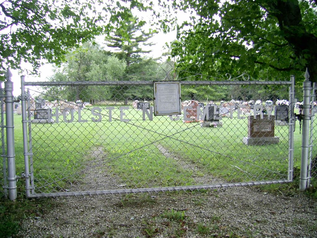
| Location | : | Holstein, Grey County, Canada |
| Coordinate | : | 44.0708100, -80.7424700 |
| Description | : | Located in Concession 3; Lot 37. William Reid conveyed to the Trustees of the Presbyterian Church, one acre of land to be used for a Cemetery. The first burial was in 1868 & one of the first burials was William Robbie. In 1935, one half acre was purchased form James Smith and with this addition, a new fence was erected changing the name on the gate from Reid's to Holstein. Of note, the Legion Members from the area including Mt Forest, keep a small Canadian Flag at the grave site of... Read More |
frequently asked questions (FAQ):
-
Where is Holstein Cemetery?
Holstein Cemetery is located at Egremont Township Holstein, Grey County ,Ontario ,Canada.
-
Holstein Cemetery cemetery's updated grave count on graveviews.com?
801 memorials
-
Where are the coordinates of the Holstein Cemetery?
Latitude: 44.0708100
Longitude: -80.7424700
Nearby Cemetories:
1. Hiltz Methodist Cemetery
Southgate Township, Grey County, Canada
Coordinate: 44.0415434, -80.7565276
2. Chapel Hill Roman Catholic Cemetery
Orchardville, Grey County, Canada
Coordinate: 44.0547780, -80.7958600
3. Maplewood Cemetery
West Grey Township, Grey County, Canada
Coordinate: 44.1159400, -80.8053000
4. Woodland Cemetery
Egremont Township, Grey County, Canada
Coordinate: 44.0238904, -80.6774183
5. Mount Forest Cemetery
Southgate Township, Grey County, Canada
Coordinate: 44.0039100, -80.7266500
6. Cochrane Cemetery
Mount Forest, Wellington County, Canada
Coordinate: 44.0028500, -80.7740300
7. Chilton Cemetery
Normanby Township, Grey County, Canada
Coordinate: 43.9811480, -80.8129810
8. Holy Cross Roman Catholic Cemetery
Mount Forest, Wellington County, Canada
Coordinate: 43.9679450, -80.7519100
9. Mount Pleasant Cemetery
Calderwood, Grey County, Canada
Coordinate: 44.0185310, -80.8731250
10. Riverdale Mennonite Cemetery
Landerkin, Grey County, Canada
Coordinate: 43.9980545, -80.6197205
11. Old Presbyterian Cemetery
Durham, Grey County, Canada
Coordinate: 44.1809120, -80.8213501
12. Saint Thomas Roman Catholic Cemetery
Wellington County, Canada
Coordinate: 43.9511810, -80.8071900
13. Trinity Lutheran Cemetery
Ayton, Grey County, Canada
Coordinate: 44.0579900, -80.9234900
14. Smilie's Cemetery
West Grey Township, Grey County, Canada
Coordinate: 44.1966330, -80.6913670
15. Durham Cemetery
Durham, Grey County, Canada
Coordinate: 44.1815872, -80.8439255
16. Ayton Evangelical United Brethren Cemetery
Ayton, Grey County, Canada
Coordinate: 44.0588600, -80.9267700
17. Saint Peter's Catholic Cemetery
Ayton, Grey County, Canada
Coordinate: 44.0492700, -80.9312200
18. Ayton Union Cemetery
Ayton, Grey County, Canada
Coordinate: 44.0490600, -80.9318300
19. Amos Presbyterian Cemetery
Dromore, Grey County, Canada
Coordinate: 44.1492600, -80.5817900
20. Swinton Park Cemetery
Swinton Park, Grey County, Canada
Coordinate: 44.1492600, -80.5817900
21. Bethel Pioneer Cemetery
Wellington County, Canada
Coordinate: 43.9274480, -80.7271960
22. Saint Patricks Roman Catholic Cemetery
Cedarville, Grey County, Canada
Coordinate: 44.0309029, -80.5493546
23. Esplin Cemetery
Grey County, Canada
Coordinate: 44.0992580, -80.5435410
24. McKechnie Cemetery
West Grey Township, Grey County, Canada
Coordinate: 44.2011150, -80.6509650