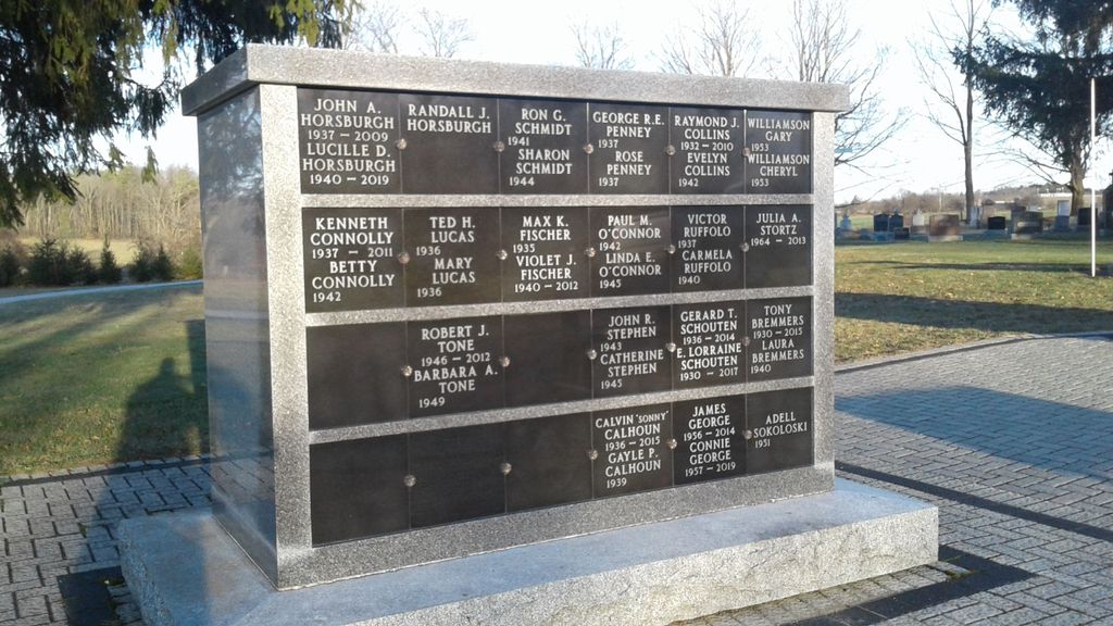
| Memorials | : | 3 |
| Location | : | Mount Forest, Wellington County, Canada |
| Coordinate | : | 43.9679450, -80.7519100 |
| Description | : | In 1902 the land for Holy Cross Cemetery was purchased for $400,000 from Michael Corrigan by the Roman Catholic Episcopal Corporation of the Diocese of Hamilton. Three acres in size, Holy Cross Cemetery is laid out in five large plots consisting of Saints names and each plot is numbered. In the North East part of the cemetery is a section known as "Potters Field." This area was used for anyone whom the Parish Priest was not sure of having been a practicing Catholic. [OGS] In 1989, an 1.5 acres (on southern border of the cemetery) were obtained from Frank Lucas. |
frequently asked questions (FAQ):
-
Where is Holy Cross Roman Catholic Cemetery?
Holy Cross Roman Catholic Cemetery is located at 9575 Lovers' Lane (Sligo Rd. below Hwy. 89) Mount Forest, Wellington County ,Ontario ,Canada.
-
Holy Cross Roman Catholic Cemetery cemetery's updated grave count on graveviews.com?
3 memorials
-
Where are the coordinates of the Holy Cross Roman Catholic Cemetery?
Latitude: 43.9679450
Longitude: -80.7519100
Nearby Cemetories:
1. Cochrane Cemetery
Mount Forest, Wellington County, Canada
Coordinate: 44.0028500, -80.7740300
2. Mount Forest Cemetery
Southgate Township, Grey County, Canada
Coordinate: 44.0039100, -80.7266500
3. Saint Thomas Roman Catholic Cemetery
Wellington County, Canada
Coordinate: 43.9511810, -80.8071900
4. Bethel Pioneer Cemetery
Wellington County, Canada
Coordinate: 43.9274480, -80.7271960
5. Chilton Cemetery
Normanby Township, Grey County, Canada
Coordinate: 43.9811480, -80.8129810
6. Westdale Mennonite Cemetery
Minto, Wellington County, Canada
Coordinate: 43.9300750, -80.8287760
7. Farewell Mennonite Cemetery
Farewell, Wellington County, Canada
Coordinate: 43.9053140, -80.7182690
8. Hiltz Methodist Cemetery
Southgate Township, Grey County, Canada
Coordinate: 44.0415434, -80.7565276
9. Woodland Cemetery
Egremont Township, Grey County, Canada
Coordinate: 44.0238904, -80.6774183
10. Chapel Hill Roman Catholic Cemetery
Orchardville, Grey County, Canada
Coordinate: 44.0547780, -80.7958600
11. Kenilworth Pioneer Catholic Cemetery
Kenilworth, Wellington County, Canada
Coordinate: 43.9085900, -80.6464300
12. Riverdale Mennonite Cemetery
Landerkin, Grey County, Canada
Coordinate: 43.9980545, -80.6197205
13. Sacred Heart Roman Catholic Cemetery
Kenilworth, Wellington County, Canada
Coordinate: 43.9067993, -80.6410217
14. Mount Pleasant Cemetery
Calderwood, Grey County, Canada
Coordinate: 44.0185310, -80.8731250
15. Harriston Cemetery
Harriston, Wellington County, Canada
Coordinate: 43.9139099, -80.8708725
16. Holstein Cemetery
Holstein, Grey County, Canada
Coordinate: 44.0708100, -80.7424700
17. Kenilworth Methodist Cemetery
Kenilworth, Wellington County, Canada
Coordinate: 43.8926964, -80.6166458
18. Petherton Pioneer Baptist Cemetery
Petherton, Wellington County, Canada
Coordinate: 43.8842850, -80.6084900
19. Saint Peter's Catholic Cemetery
Ayton, Grey County, Canada
Coordinate: 44.0492700, -80.9312200
20. Ayton Union Cemetery
Ayton, Grey County, Canada
Coordinate: 44.0490600, -80.9318300
21. Trinity Lutheran Cemetery
Ayton, Grey County, Canada
Coordinate: 44.0579900, -80.9234900
22. Maplewood Cemetery
West Grey Township, Grey County, Canada
Coordinate: 44.1159400, -80.8053000
23. Cedarvale Conservative Mennonite Cemetery
Minto, Wellington County, Canada
Coordinate: 43.9136800, -80.9522600
24. Ayton Evangelical United Brethren Cemetery
Ayton, Grey County, Canada
Coordinate: 44.0588600, -80.9267700


