| Memorials | : | 1114 |
| Location | : | El Cerrito, Contra Costa County, USA |
| Phone | : | 510-525-5111 |
| Website | : | www.sunsetviewcemetery.com |
| Coordinate | : | 37.9077721, -122.2871017 |
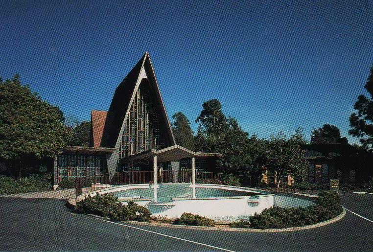
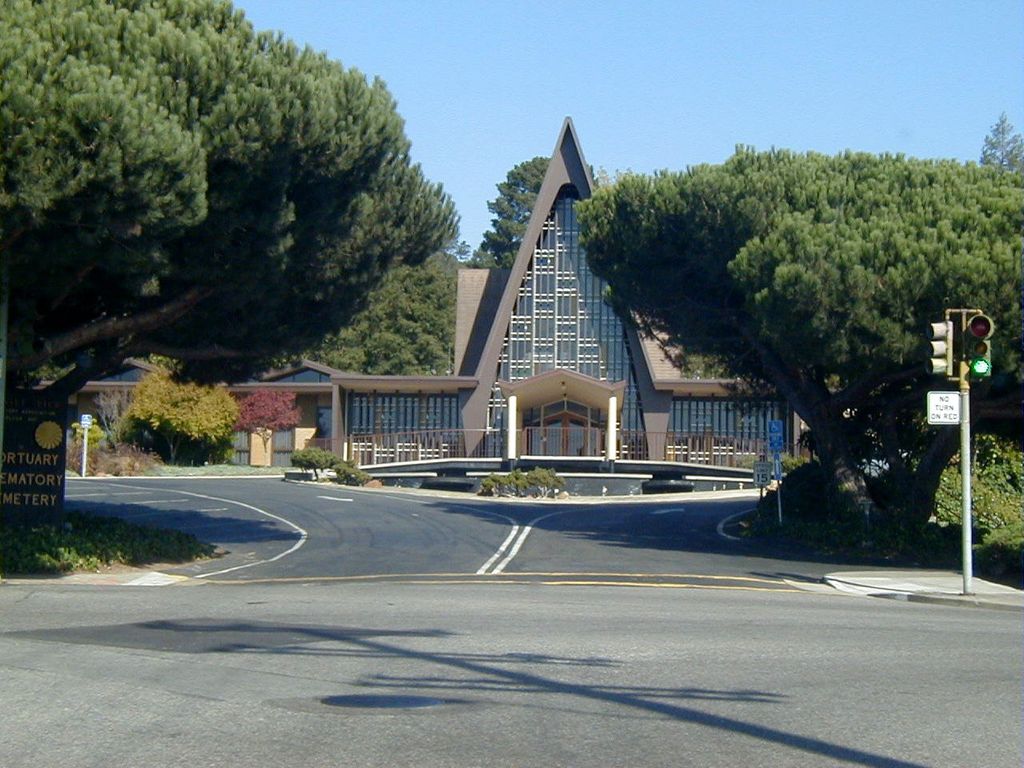
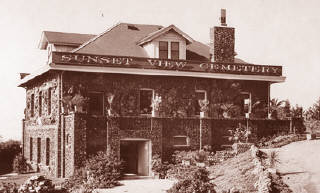
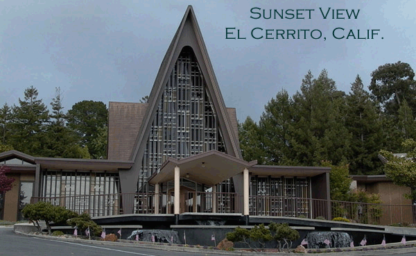
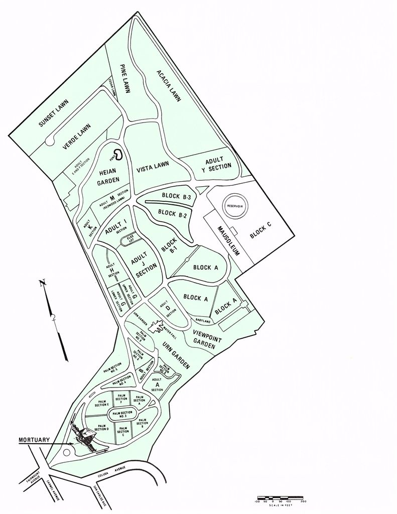
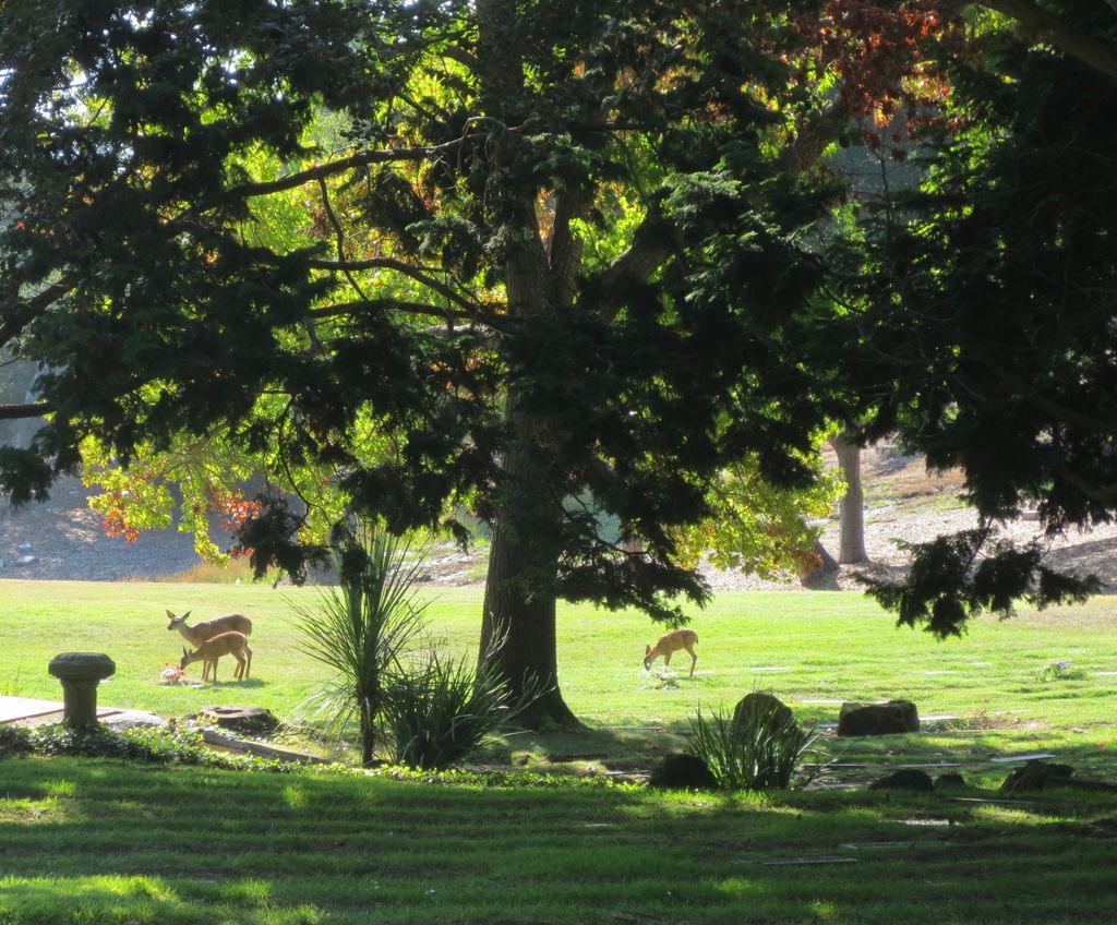
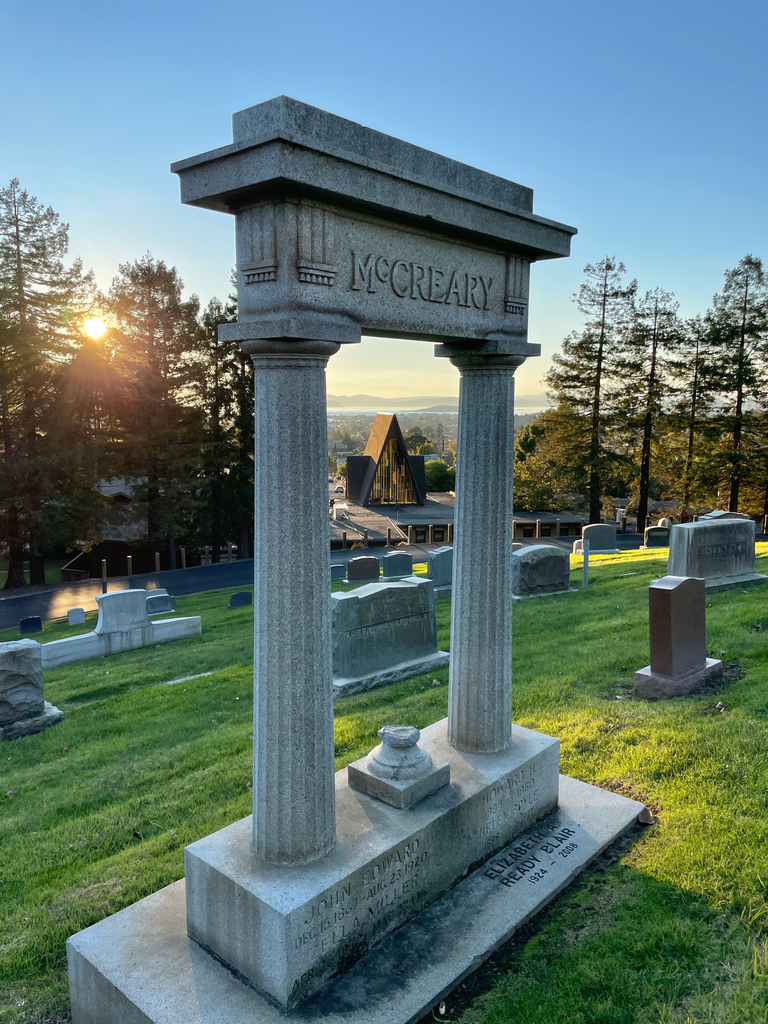
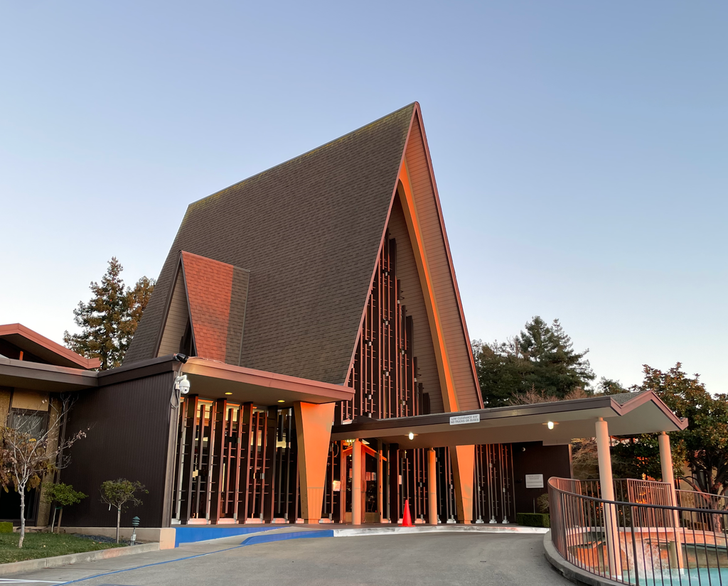
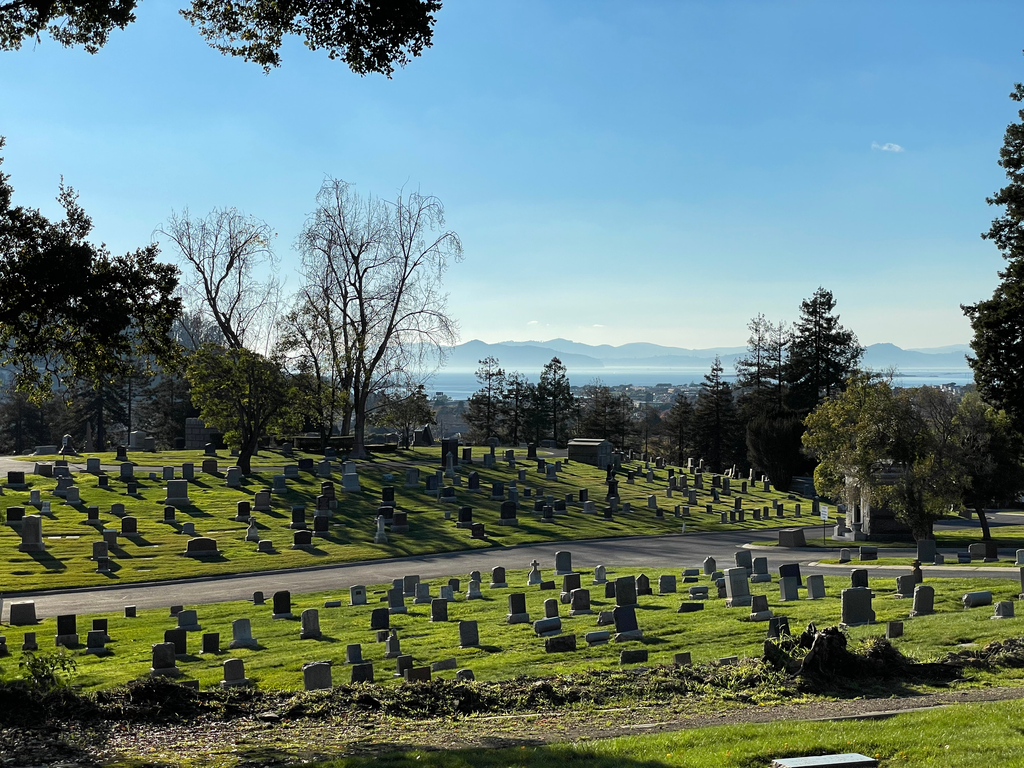
| Description | : | The Sunset View Cemetery, founded in 1908 and located in the East Bay hills, takes its name from the panoramic cemetery views of San Francisco Bay and the Golden Gate Bridge. Though it has an El Cerrito address, over 90% of the cemetery is located in neighboring Kensington. The cemetery, as well as the cemetery office, is open from 9am to 5:30pm, seven days a week, except major holidays. The staff is extremely courteous and is very helpful to Find a Grave photo volunteers. Although the Golden Gate Mausoleum and Columbaria (formerly known as Sunset Mausoleum and Columbarium) is located atop a... Read More |
frequently asked questions (FAQ):
-
Where is Sunset View Cemetery?
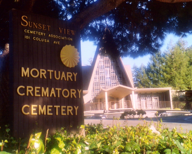
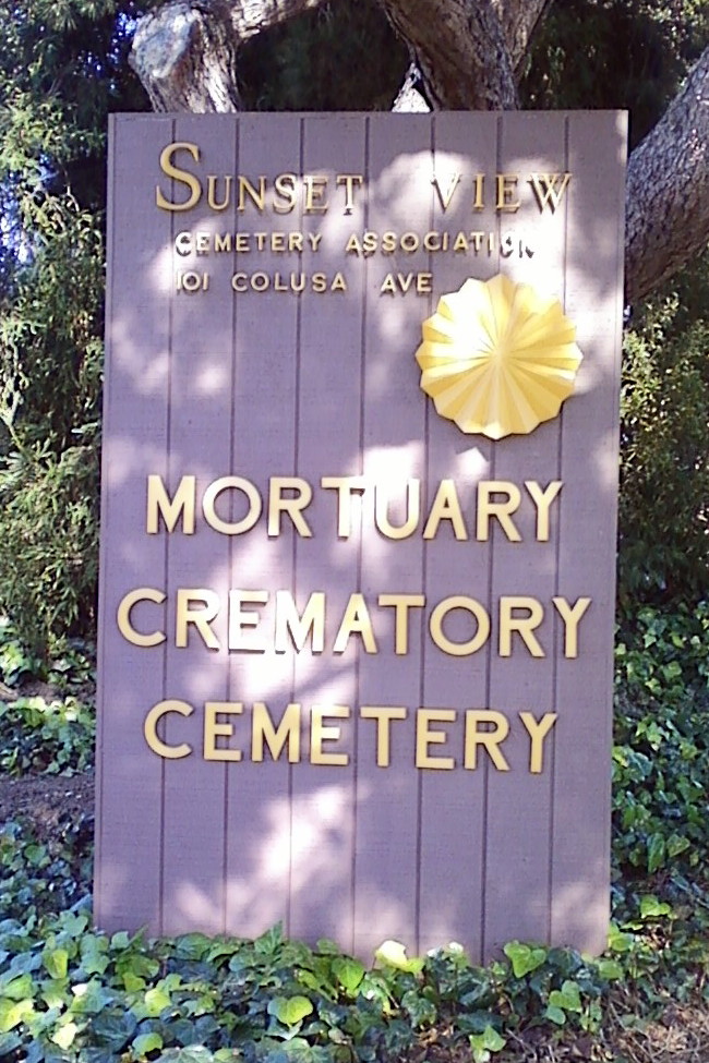
Sunset View Cemetery is located at 101 Colusa Ave El Cerrito, Contra Costa County ,California , 94530USA.
-
Sunset View Cemetery cemetery's updated grave count on graveviews.com?
1055 memorials
-
Where are the coordinates of the Sunset View Cemetery?
Latitude: 37.9077721
Longitude: -122.2871017
Nearby Cemetories:
1. Golden Gate Mausoleum and Columbaria
El Cerrito, Contra Costa County, USA
Coordinate: 37.9073150, -122.2857220
2. Northbrae Community Church Columbarium
Berkeley, Alameda County, USA
Coordinate: 37.8905500, -122.2763200
3. Golden Gate Fields
Albany, Alameda County, USA
Coordinate: 37.8854000, -122.3117000
4. Salesian Cemetery
Richmond, Contra Costa County, USA
Coordinate: 37.9532650, -122.3401230
5. Saint Joseph Catholic Cemetery
San Pablo, Contra Costa County, USA
Coordinate: 37.9612700, -122.3336600
6. Saint Pauls Cemetery (Defunct)
San Pablo, Contra Costa County, USA
Coordinate: 37.9563332, -122.3430099
7. Rolling Hills Memorial Park
Richmond, Contra Costa County, USA
Coordinate: 37.9756012, -122.3146973
8. Saint Mary's Cemetery
Oakland, Alameda County, USA
Coordinate: 37.8349991, -122.2418976
9. Home of Eternity Cemetery
Oakland, Alameda County, USA
Coordinate: 37.8322970, -122.2448270
10. Chapel of the Chimes Columbarium and Mausoleum
Oakland, Alameda County, USA
Coordinate: 37.8318863, -122.2456894
11. Chapel of Memories Columbarium
Oakland, Alameda County, USA
Coordinate: 37.8310471, -122.2480927
12. Gan Shalom Cemetery
Contra Costa County, USA
Coordinate: 37.9528122, -122.1975098
13. Mountain View Cemetery
Oakland, Alameda County, USA
Coordinate: 37.8327600, -122.2395200
14. Saint Stephens Episcopal Church Memorial Garden
Orinda, Contra Costa County, USA
Coordinate: 37.8982650, -122.1729170
15. Cathedral of Christ the Light Mausoleum
Oakland, Alameda County, USA
Coordinate: 37.8105316, -122.2633896
16. Lafayette-Orinda Presbyterian Church Garden
Contra Costa County, USA
Coordinate: 37.8866040, -122.1606950
17. Yerba Buena Island Cemetery (Defunct)
San Francisco, San Francisco County, USA
Coordinate: 37.8127420, -122.3707880
18. Saint Paul Lutheran Church
Oakland, Alameda County, USA
Coordinate: 37.8020820, -122.2222780
19. Angel Island Cemetery (defunct)
Tiburon, Marin County, USA
Coordinate: 37.8621830, -122.4325920
20. Home of Peace Cemetery
Oakland, Alameda County, USA
Coordinate: 37.7790604, -122.2036285
21. First Street Cemetery (Defunct)
San Francisco, San Francisco County, USA
Coordinate: 37.7906170, -122.3991770
22. Muir-Strentzel Hanna Cemetery
Martinez, Contra Costa County, USA
Coordinate: 37.9784393, -122.1232681
23. Bush Street Cemetery (Defunct)
San Francisco, San Francisco County, USA
Coordinate: 37.7907950, -122.4011960
24. Queen of Heaven Cemetery
Lafayette, Contra Costa County, USA
Coordinate: 37.9446983, -122.1057968

