
| Memorials | : | 0 |
| Location | : | Chartham, City of Canterbury, England |
| Coordinate | : | 51.2600890, 1.0068260 |
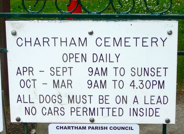
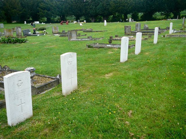
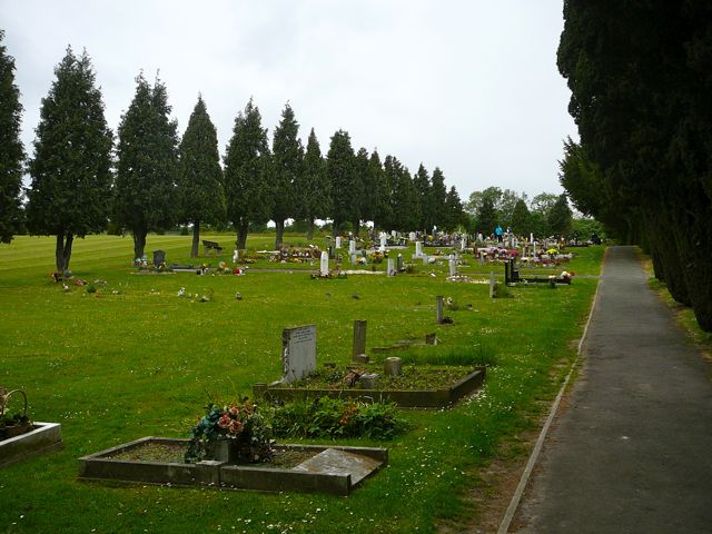
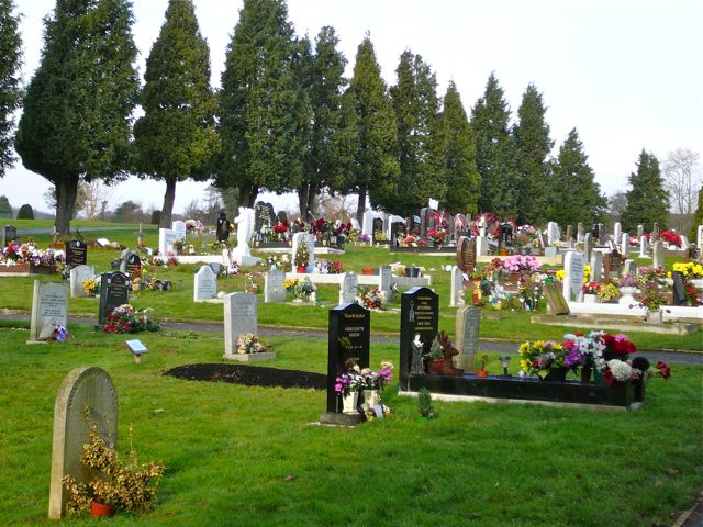
| Description | : | This cemetery belongs to the Parish Council. It was laid out in 1899, prior to which date burials were at St Mary the Virgin Churchyard, Chartham. It is next to the main A259 road from Canterbury to Ashford, with a car parking area, and adjoins fields. The former Cemetery Lodge is now privately leased. (Text by Sheilia W.) |
frequently asked questions (FAQ):
-
Where is Chartham Cemetery?
Chartham Cemetery is located at Ashford Road Chartham, City of Canterbury ,Kent , CT4 7NYEngland.
-
Chartham Cemetery cemetery's updated grave count on graveviews.com?
0 memorials
-
Where are the coordinates of the Chartham Cemetery?
Latitude: 51.2600890
Longitude: 1.0068260
Nearby Cemetories:
1. St. Mary the Virgin Churchyard
Chartham, City of Canterbury, England
Coordinate: 51.2558720, 1.0180810
2. St Augustine Hospital Burial Ground
Chartham, City of Canterbury, England
Coordinate: 51.2480170, 1.0342770
3. St Nicholas Churchyard
Thanington-Without, City of Canterbury, England
Coordinate: 51.2703550, 1.0544190
4. St. Mary Churchyard
Chilham, Ashford Borough, England
Coordinate: 51.2446240, 0.9626660
5. St Nicholas Hospital Church
Harbledown, City of Canterbury, England
Coordinate: 51.2828200, 1.0536580
6. Christ Church Churchyard
Dunkirk, Swale Borough, England
Coordinate: 51.2916540, 0.9741890
7. St Michael and All Angels Church
Harbledown, City of Canterbury, England
Coordinate: 51.2824590, 1.0556800
8. Wincheap Non-Conformist Burial Ground
Canterbury, City of Canterbury, England
Coordinate: 51.2718430, 1.0672940
9. Canterbury City Cemetery
Canterbury, City of Canterbury, England
Coordinate: 51.2843285, 1.0637640
10. St. Mildred with St. Mary de Castro Church
Canterbury, City of Canterbury, England
Coordinate: 51.2764810, 1.0743320
11. St. Dunstan Churchyard
Canterbury, City of Canterbury, England
Coordinate: 51.2836820, 1.0707800
12. St Mary de Castro Churchyard
Canterbury, City of Canterbury, England
Coordinate: 51.2762400, 1.0766820
13. Canterbury Jewish Cemetery
Canterbury, City of Canterbury, England
Coordinate: 51.2846135, 1.0706660
14. Westgate Gardens
Canterbury, City of Canterbury, England
Coordinate: 51.2805250, 1.0745040
15. Dane John Gardens
Canterbury, City of Canterbury, England
Coordinate: 51.2754210, 1.0780390
16. All Saints Churchyard
Petham, City of Canterbury, England
Coordinate: 51.2206030, 1.0496330
17. Holy Cross Church
Canterbury, City of Canterbury, England
Coordinate: 51.2811350, 1.0755710
18. St Peters Methodist Church
Canterbury, City of Canterbury, England
Coordinate: 51.2801720, 1.0771480
19. St Peter the Apostle Churchyard
Canterbury, City of Canterbury, England
Coordinate: 51.2807260, 1.0775370
20. St Margaret's Churchyard
Canterbury, City of Canterbury, England
Coordinate: 51.2781780, 1.0795840
21. St Mary Breadman Church Demolished
Canterbury, City of Canterbury, England
Coordinate: 51.2798870, 1.0784520
22. All Saints Church Demolished
Canterbury, City of Canterbury, England
Coordinate: 51.2802800, 1.0783450
23. St Mary Bredin Old Church (Defunct)
Canterbury, City of Canterbury, England
Coordinate: 51.2773455, 1.0803962
24. St George's Church Demolished
Canterbury, City of Canterbury, England
Coordinate: 51.2773770, 1.0827380