| Memorials | : | 2 |
| Location | : | Dunkirk, Swale Borough, England |
| Coordinate | : | 51.2916540, 0.9741890 |
| Description | : | Dunkirk is a relatively new village, with only a few buildings that pre-date the 19th century. It was a very impoverished area, and was the scene of the last armed uprising in Britain, when in 1838 a group of about 40 farm workers who had suffered from the introduction of the 'New' Poor Laws, so that they could no longer get monetary help in times of little employment, but instead had to go into the workhouse, followed a charismatic character calling himself 'Sir William Courtenay', (actually one John Thom, now buried in St Michael's churchyard in nearby Hernhill) who had... Read More |
frequently asked questions (FAQ):
-
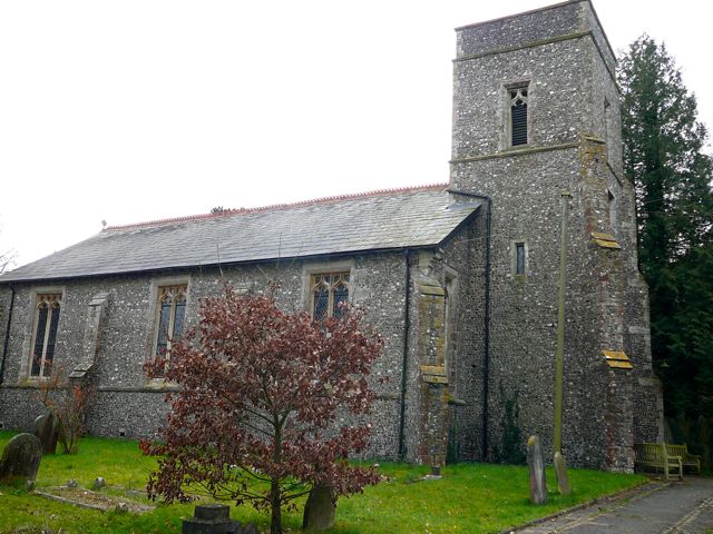
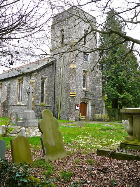
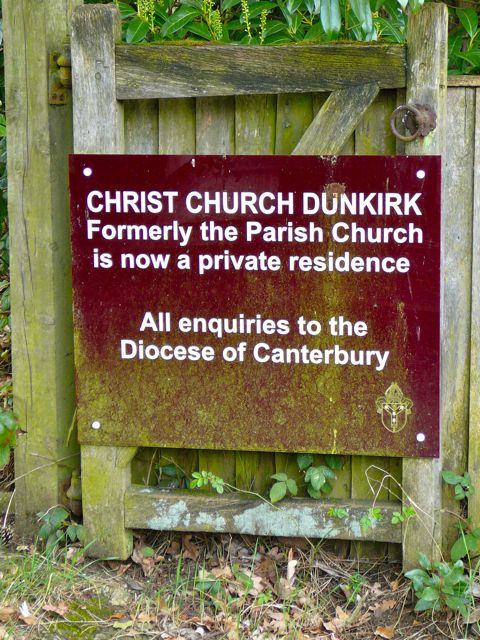
Where is Christ Church Churchyard?
Christ Church Churchyard is located at Canterbury Road Dunkirk, Swale Borough ,Kent ,England.
-
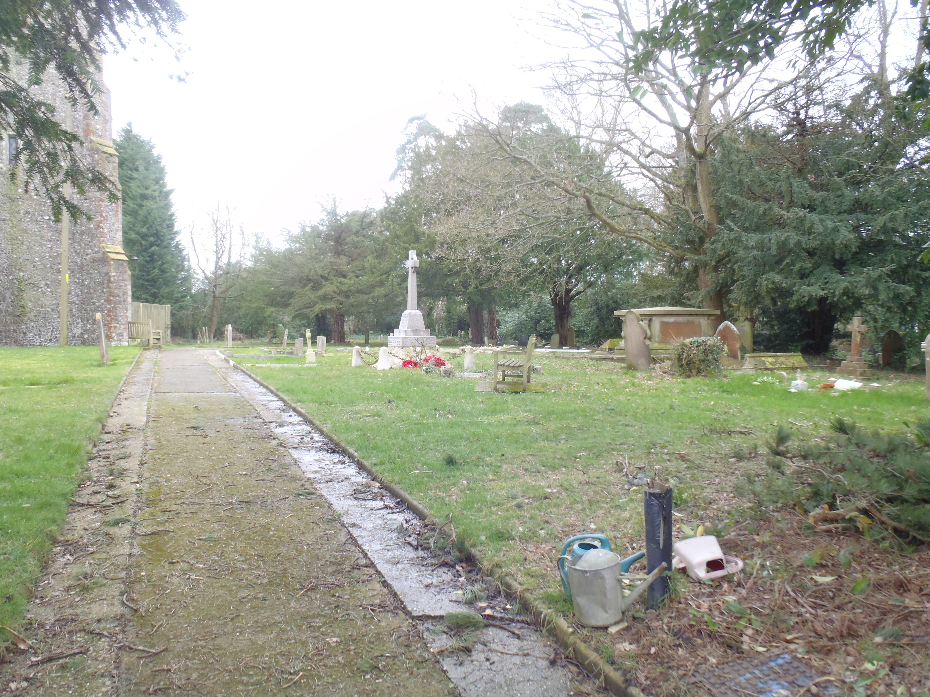
Christ Church Churchyard cemetery's updated grave count on graveviews.com?
2 memorials
-
Where are the coordinates of the Christ Church Churchyard?
Latitude: 51.2916540
Longitude: 0.9741890
Nearby Cemetories:
1. Wesleyan Chapel Burial Ground
Boughton-under-Blean, Swale Borough, England
Coordinate: 51.2968700, 0.9484080
2. St Michael Churchyard
Hernhill, Swale Borough, England
Coordinate: 51.3077430, 0.9612050
3. Saint Peter and Saint Paul Churchyard
Boughton-under-Blean, Swale Borough, England
Coordinate: 51.2892810, 0.9355410
4. St Bartholomew Churchyard
Goodnestone, Dover District, England
Coordinate: 51.3166220, 0.9322200
5. Chartham Cemetery
Chartham, City of Canterbury, England
Coordinate: 51.2600890, 1.0068260
6. St Mary the Virgin Churchyard
Selling, Swale Borough, England
Coordinate: 51.2739880, 0.9208920
7. All Saints Churchyard
Graveney, Swale Borough, England
Coordinate: 51.3261450, 0.9447880
8. St. Mary the Virgin Churchyard
Chartham, City of Canterbury, England
Coordinate: 51.2558720, 1.0180810
9. Faversham Cemetery
Faversham, Swale Borough, England
Coordinate: 51.3110470, 0.9053170
10. St. Mary Churchyard
Chilham, Ashford Borough, England
Coordinate: 51.2446240, 0.9626660
11. St Nicholas Hospital Church
Harbledown, City of Canterbury, England
Coordinate: 51.2828200, 1.0536580
12. St Cosmus and St Damian Churchyard
Blean, City of Canterbury, England
Coordinate: 51.3052720, 1.0530480
13. St Michael and All Angels Church
Harbledown, City of Canterbury, England
Coordinate: 51.2824590, 1.0556800
14. St. Catherine's Churchyard
Faversham, Swale Borough, England
Coordinate: 51.3103390, 0.8926930
15. St Nicholas Churchyard
Thanington-Without, City of Canterbury, England
Coordinate: 51.2703550, 1.0544190
16. St. Alphege's Churchyard
Seasalter, City of Canterbury, England
Coordinate: 51.3432041, 1.0041740
17. Faversham Abbey (Defunct)
Faversham, Swale Borough, England
Coordinate: 51.3165680, 0.8958480
18. St Mary of Charity Churchyard
Faversham, Swale Borough, England
Coordinate: 51.3171730, 0.8948480
19. Canterbury City Cemetery
Canterbury, City of Canterbury, England
Coordinate: 51.2843285, 1.0637640
20. St Augustine Hospital Burial Ground
Chartham, City of Canterbury, England
Coordinate: 51.2480170, 1.0342770
21. St James Churchyard
Sheldwich, Swale Borough, England
Coordinate: 51.2753830, 0.8821940
22. Canterbury Jewish Cemetery
Canterbury, City of Canterbury, England
Coordinate: 51.2846135, 1.0706660
23. St. Dunstan Churchyard
Canterbury, City of Canterbury, England
Coordinate: 51.2836820, 1.0707800
24. Wincheap Non-Conformist Burial Ground
Canterbury, City of Canterbury, England
Coordinate: 51.2718430, 1.0672940


