
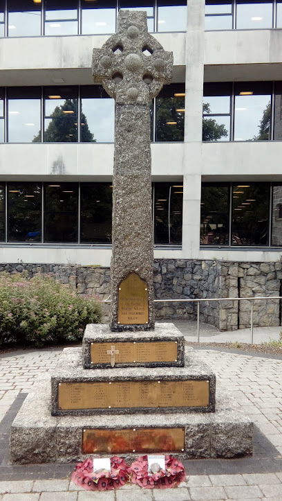
| Memorials | : | 155 |
| Location | : | Preston, City of Preston, England |
| Coordinate | : | 53.7573210, -2.7103080 |
| Description | : | Built in 1836 for 3,600 GBP. The trancepts were added in 1851. The church closed in 1971 and was subsequently demolished, however, the octagonal towers and facade survived to be incorporated into a new construction. |
frequently asked questions (FAQ):
-
Where is Christ Church Churchyard?
Christ Church Churchyard is located at Preston, City of Preston ,Lancashire ,England.
-
Christ Church Churchyard cemetery's updated grave count on graveviews.com?
0 memorials
-
Where are the coordinates of the Christ Church Churchyard?
Latitude: 53.7573210
Longitude: -2.7103080
Nearby Cemetories:
1. Grey Friars' Church
Preston, City of Preston, England
Coordinate: 53.7601480, -2.7084600
2. St. Wilfrid's Catholic Cemetery
Preston, City of Preston, England
Coordinate: 53.7581670, -2.7044930
3. St. George the Martyr
Preston, City of Preston, England
Coordinate: 53.7591220, -2.7025660
4. Friends Meeting House Burial Ground (Defunct)
Preston, City of Preston, England
Coordinate: 53.7610250, -2.7030380
5. Holy Trinity
Preston, City of Preston, England
Coordinate: 53.7613030, -2.7030580
6. Saint Peter Churchyard
Preston, City of Preston, England
Coordinate: 53.7634100, -2.7080700
7. St Walburge's RC Church
Preston, City of Preston, England
Coordinate: 53.7629690, -2.7149620
8. St Mary Churchyard
Penwortham, South Ribble Borough, England
Coordinate: 53.7551800, -2.7234210
9. St John Churchyard
Preston, City of Preston, England
Coordinate: 53.7582080, -2.6959750
10. St. James' Churchyard
Preston, City of Preston, England
Coordinate: 53.7566010, -2.6941110
11. St. Ignatius RC Churchyard
Preston, City of Preston, England
Coordinate: 53.7635270, -2.6965870
12. St. Paul Churchyard
Preston, City of Preston, England
Coordinate: 53.7625360, -2.6947080
13. St Augustine of Canterbury
Preston, City of Preston, England
Coordinate: 53.7560420, -2.6912650
14. Penwortham Cemetery
Penwortham, South Ribble Borough, England
Coordinate: 53.7452590, -2.7209190
15. St. Andrew's Churchyard
Ashton-on-Ribble, City of Preston, England
Coordinate: 53.7687030, -2.7359180
16. Christ Church Churchyard
Fulwood, City of Preston, England
Coordinate: 53.7771920, -2.7028700
17. St Leonard Churchyard
Walton-le-Dale, South Ribble Borough, England
Coordinate: 53.7476530, -2.6666950
18. Preston Old Cemetery
Ribbleton, City of Preston, England
Coordinate: 53.7686352, -2.6623154
19. Our Lady and Saint Gerards Churchyard
Lostock Hall, South Ribble Borough, England
Coordinate: 53.7279090, -2.6921460
20. Preston New Cemetery
Ribbleton, City of Preston, England
Coordinate: 53.7717400, -2.6620900
21. St Mary's Churchyard Brownedge
Bamber Bridge, South Ribble Borough, England
Coordinate: 53.7305472, -2.6669416
22. St Paul Churchyard
Farington, South Ribble Borough, England
Coordinate: 53.7199900, -2.7017200
23. St Andrew George Haydock Roman Catholic Churchyard
Cottam, City of Preston, England
Coordinate: 53.7879280, -2.7591570
24. All Saints Churchyard
Walton-le-Dale, South Ribble Borough, England
Coordinate: 53.7407250, -2.6408280