
| Memorials | : | 0 |
| Location | : | Preston, City of Preston, England |
| Coordinate | : | 53.7625360, -2.6947080 |
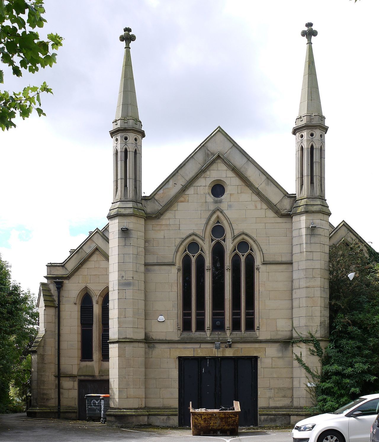
| Description | : | "St Paul's was built between 1823 and 1825 [as a chapelry within the parish of St. John, Preston] … The church was declared redundant on 1 January 1979. In 1981 it was bought … by Red Rose Radio … Two radio stations … broadcast from the building until 2020." (Wikipedia). "Preston St Paul chapelry's registers of christenings, marriages and burials, along with those of the ancient parish of Preston St John to which it is attached, have been mostly transcribed and are displayed online …" (FamilySearch). In addition to indexes and images of burial registers at FamilySearch.org, see also register transcriptions... Read More |
frequently asked questions (FAQ):
-
Where is St. Paul Churchyard?
St. Paul Churchyard is located at St. Paul's Square, Preston, Lancashire, England Preston, City of Preston ,Lancashire ,England.
-
St. Paul Churchyard cemetery's updated grave count on graveviews.com?
0 memorials
-
Where are the coordinates of the St. Paul Churchyard?
Latitude: 53.7625360
Longitude: -2.6947080
Nearby Cemetories:
1. St. Ignatius RC Churchyard
Preston, City of Preston, England
Coordinate: 53.7635270, -2.6965870
2. St John Churchyard
Preston, City of Preston, England
Coordinate: 53.7582080, -2.6959750
3. Holy Trinity
Preston, City of Preston, England
Coordinate: 53.7613030, -2.7030580
4. Friends Meeting House Burial Ground (Defunct)
Preston, City of Preston, England
Coordinate: 53.7610250, -2.7030380
5. St. George the Martyr
Preston, City of Preston, England
Coordinate: 53.7591220, -2.7025660
6. St. James' Churchyard
Preston, City of Preston, England
Coordinate: 53.7566010, -2.6941110
7. St Augustine of Canterbury
Preston, City of Preston, England
Coordinate: 53.7560420, -2.6912650
8. St. Wilfrid's Catholic Cemetery
Preston, City of Preston, England
Coordinate: 53.7581670, -2.7044930
9. Saint Peter Churchyard
Preston, City of Preston, England
Coordinate: 53.7634100, -2.7080700
10. Grey Friars' Church
Preston, City of Preston, England
Coordinate: 53.7601480, -2.7084600
11. Christ Church Churchyard
Preston, City of Preston, England
Coordinate: 53.7573210, -2.7103080
12. St Walburge's RC Church
Preston, City of Preston, England
Coordinate: 53.7629690, -2.7149620
13. Christ Church Churchyard
Fulwood, City of Preston, England
Coordinate: 53.7771920, -2.7028700
14. St Mary Churchyard
Penwortham, South Ribble Borough, England
Coordinate: 53.7551800, -2.7234210
15. Preston Old Cemetery
Ribbleton, City of Preston, England
Coordinate: 53.7686352, -2.6623154
16. Preston New Cemetery
Ribbleton, City of Preston, England
Coordinate: 53.7717400, -2.6620900
17. St Leonard Churchyard
Walton-le-Dale, South Ribble Borough, England
Coordinate: 53.7476530, -2.6666950
18. Penwortham Cemetery
Penwortham, South Ribble Borough, England
Coordinate: 53.7452590, -2.7209190
19. St. Andrew's Churchyard
Ashton-on-Ribble, City of Preston, England
Coordinate: 53.7687030, -2.7359180
20. Our Lady and Saint Gerards Churchyard
Lostock Hall, South Ribble Borough, England
Coordinate: 53.7279090, -2.6921460
21. St Mary's Churchyard Brownedge
Bamber Bridge, South Ribble Borough, England
Coordinate: 53.7305472, -2.6669416
22. All Saints Churchyard
Walton-le-Dale, South Ribble Borough, England
Coordinate: 53.7407250, -2.6408280
23. Our Lady and St Patrick's Church
Walton-le-Dale, South Ribble Borough, England
Coordinate: 53.7407250, -2.6408280
24. St. Mary's Churchyard
Preston, City of Preston, England
Coordinate: 53.8010830, -2.6779600