
| Memorials | : | 0 |
| Location | : | Preston, City of Preston, England |
| Coordinate | : | 53.7581670, -2.7044930 |
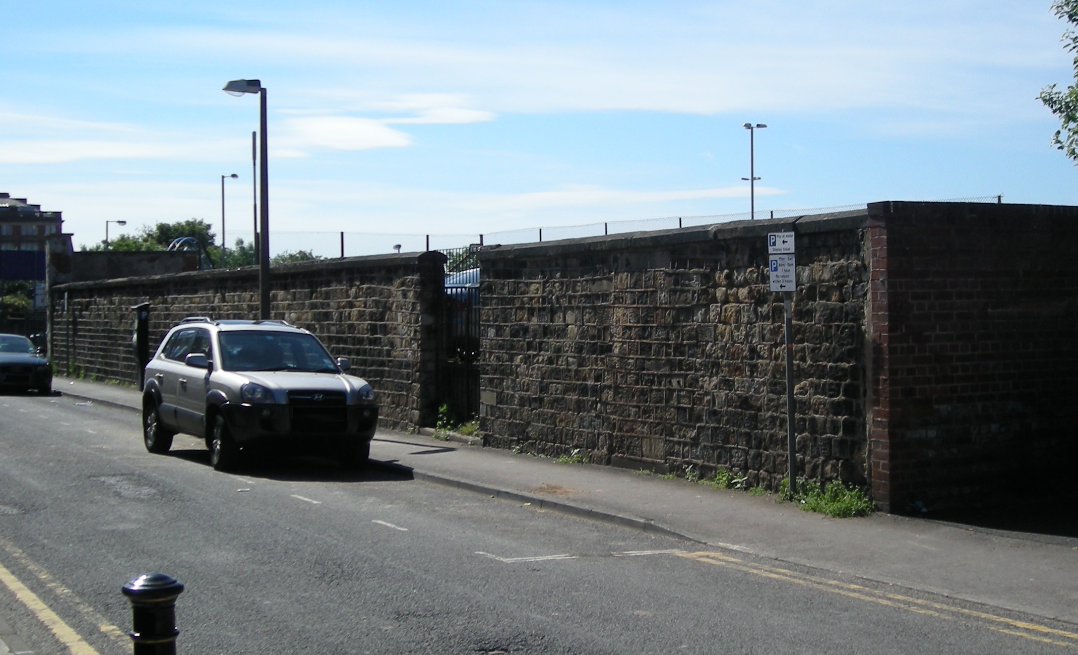
| Description | : | In 1816, the Reverend Joseph "Daddy" Dunn, priest at St Wilfrid's Chapel, purchased a plot of land to use as a burial ground for the town's Catholic population. The cemetery, in what was to become St Wilfrid Street, was behind the school Mr Dunn had opened in Fox Street two years earlier, and was a short walk from St Wilfrid's Chapel, which had no open space immediately around it. St Wilfrid's Cemetery opened in late 1817, with the first burial, that of Mrs Rose McNally, taking place on the 13th of December 1817. The Oratory was licensed to perform services on... Read More |
frequently asked questions (FAQ):
-
Where is St. Wilfrid's Catholic Cemetery?
St. Wilfrid's Catholic Cemetery is located at St-Wilfrid St Preston, City of Preston ,Lancashire , PR1 2USEngland.
-
St. Wilfrid's Catholic Cemetery cemetery's updated grave count on graveviews.com?
0 memorials
-
Where are the coordinates of the St. Wilfrid's Catholic Cemetery?
Latitude: 53.7581670
Longitude: -2.7044930
Nearby Cemetories:
1. St. George the Martyr
Preston, City of Preston, England
Coordinate: 53.7591220, -2.7025660
2. Friends Meeting House Burial Ground (Defunct)
Preston, City of Preston, England
Coordinate: 53.7610250, -2.7030380
3. Grey Friars' Church
Preston, City of Preston, England
Coordinate: 53.7601480, -2.7084600
4. Holy Trinity
Preston, City of Preston, England
Coordinate: 53.7613030, -2.7030580
5. Christ Church Churchyard
Preston, City of Preston, England
Coordinate: 53.7573210, -2.7103080
6. St John Churchyard
Preston, City of Preston, England
Coordinate: 53.7582080, -2.6959750
7. Saint Peter Churchyard
Preston, City of Preston, England
Coordinate: 53.7634100, -2.7080700
8. St. James' Churchyard
Preston, City of Preston, England
Coordinate: 53.7566010, -2.6941110
9. St. Ignatius RC Churchyard
Preston, City of Preston, England
Coordinate: 53.7635270, -2.6965870
10. St. Paul Churchyard
Preston, City of Preston, England
Coordinate: 53.7625360, -2.6947080
11. St Walburge's RC Church
Preston, City of Preston, England
Coordinate: 53.7629690, -2.7149620
12. St Augustine of Canterbury
Preston, City of Preston, England
Coordinate: 53.7560420, -2.6912650
13. St Mary Churchyard
Penwortham, South Ribble Borough, England
Coordinate: 53.7551800, -2.7234210
14. Penwortham Cemetery
Penwortham, South Ribble Borough, England
Coordinate: 53.7452590, -2.7209190
15. Christ Church Churchyard
Fulwood, City of Preston, England
Coordinate: 53.7771920, -2.7028700
16. St. Andrew's Churchyard
Ashton-on-Ribble, City of Preston, England
Coordinate: 53.7687030, -2.7359180
17. St Leonard Churchyard
Walton-le-Dale, South Ribble Borough, England
Coordinate: 53.7476530, -2.6666950
18. Preston Old Cemetery
Ribbleton, City of Preston, England
Coordinate: 53.7686352, -2.6623154
19. Preston New Cemetery
Ribbleton, City of Preston, England
Coordinate: 53.7717400, -2.6620900
20. Our Lady and Saint Gerards Churchyard
Lostock Hall, South Ribble Borough, England
Coordinate: 53.7279090, -2.6921460
21. St Mary's Churchyard Brownedge
Bamber Bridge, South Ribble Borough, England
Coordinate: 53.7305472, -2.6669416
22. St Paul Churchyard
Farington, South Ribble Borough, England
Coordinate: 53.7199900, -2.7017200
23. All Saints Churchyard
Walton-le-Dale, South Ribble Borough, England
Coordinate: 53.7407250, -2.6408280
24. Our Lady and St Patrick's Church
Walton-le-Dale, South Ribble Borough, England
Coordinate: 53.7407250, -2.6408280