
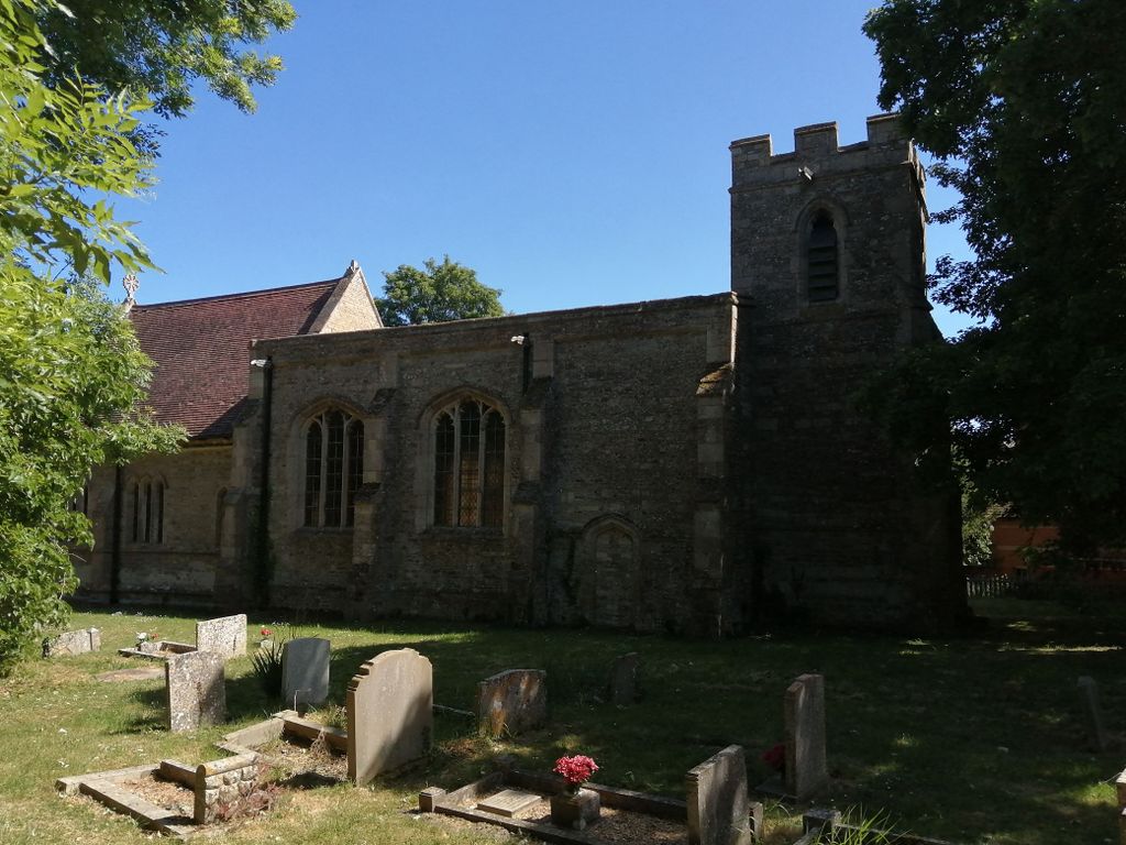
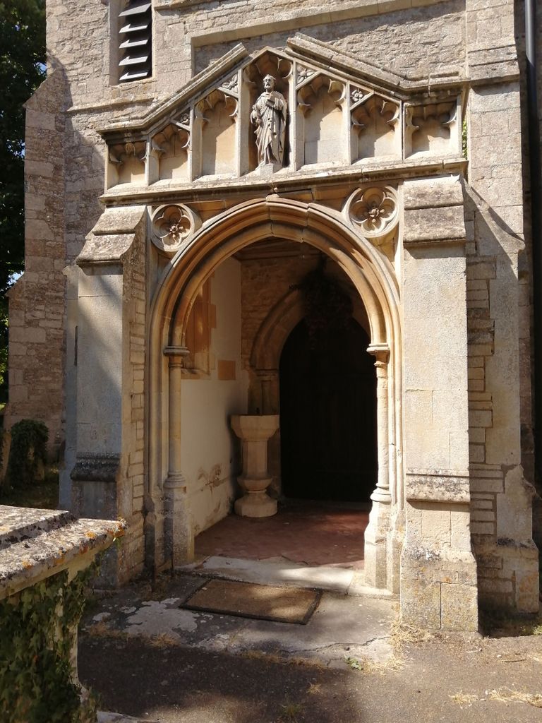
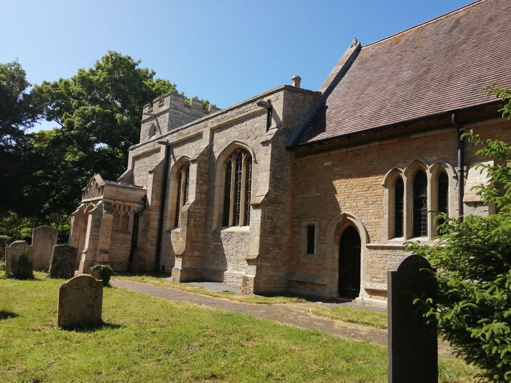
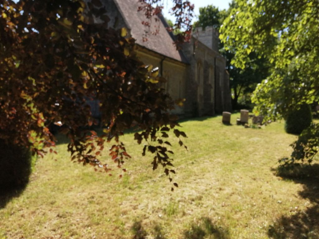
| Memorials | : | 0 |
| Location | : | Molesworth, Huntingdonshire District, England |
| Coordinate | : | 52.3700110, -0.4296580 |
frequently asked questions (FAQ):
-
Where is Church of Saint Peter Molesworth Churchyard?
Church of Saint Peter Molesworth Churchyard is located at Church Lane Molesworth, Huntingdonshire District ,Cambridgeshire , PE28 0QDEngland.
-
Church of Saint Peter Molesworth Churchyard cemetery's updated grave count on graveviews.com?
0 memorials
-
Where are the coordinates of the Church of Saint Peter Molesworth Churchyard?
Latitude: 52.3700110
Longitude: -0.4296580
Nearby Cemetories:
1. Brington Parish Churchyard
Brington, Huntingdonshire District, England
Coordinate: 52.3686926, -0.4089893
2. Old Weston Church Cemetery
Old Weston, Huntingdonshire District, England
Coordinate: 52.3819525, -0.3940217
3. St. Leonard’s Churchyard
Catworth, Huntingdonshire District, England
Coordinate: 52.3475718, -0.4029185
4. St. Peter's Churchyard
Clopton, East Northamptonshire Borough, England
Coordinate: 52.4077000, -0.4342000
5. St Mary's Churchyard
Leighton Bromswold, Huntingdonshire District, England
Coordinate: 52.3641002, -0.3631478
6. Covington Parish Church
Covington, Huntingdonshire District, England
Coordinate: 52.3238459, -0.4505520
7. St. Botolph Churchyard
Stow Longa, Huntingdonshire District, England
Coordinate: 52.3269300, -0.3766400
8. All Hallow's Church Hargrave Churchyard
Hargrave, East Northamptonshire Borough, England
Coordinate: 52.3242316, -0.4800580
9. St. Mary's Churchyard
Titchmarsh, East Northamptonshire Borough, England
Coordinate: 52.4076080, -0.4998860
10. All Saints Churchyard
Tilbrook, Huntingdonshire District, England
Coordinate: 52.3105220, -0.4164860
11. St James the Great
Thurning, East Northamptonshire Borough, England
Coordinate: 52.4327883, -0.4042219
12. Thrapston Cemetery
Thrapston, East Northamptonshire Borough, England
Coordinate: 52.4000170, -0.5292640
13. All Saints Churchyard
Hamerton, Huntingdonshire District, England
Coordinate: 52.4028700, -0.3308800
14. All Saints Church
Buckworth, Huntingdonshire District, England
Coordinate: 52.3770200, -0.3147570
15. Holy Trinity Church
Denford, East Northamptonshire Borough, England
Coordinate: 52.3787353, -0.5450568
16. St Mary the Virgin Churchyard
Shelton, Bedford Borough, England
Coordinate: 52.3076000, -0.4852000
17. St. Mary Churchyard
Woolley, Metropolitan Borough of Wakefield, England
Coordinate: 52.3565791, -0.3125185
18. Dean URC Cemetery
Upper Dean, Bedford Borough, England
Coordinate: 52.2999756, -0.4634887
19. All Saints Churchyard
Aldwincle, East Northamptonshire Borough, England
Coordinate: 52.4222080, -0.5142150
20. Raunds Cemetery
Raunds, East Northamptonshire Borough, England
Coordinate: 52.3494100, -0.5467400
21. St. Andrew's Churchyard
Steeple Gidding, Huntingdonshire District, England
Coordinate: 52.4184500, -0.3368200
22. Nativity of the Blessed Virgin Mary Churchyard
Ringstead, East Northamptonshire Borough, England
Coordinate: 52.3652660, -0.5533620
23. Station Street Cemetery
Ringstead, East Northamptonshire Borough, England
Coordinate: 52.3654427, -0.5538628
24. St Andrew Churchyard
Kimbolton, Huntingdonshire District, England
Coordinate: 52.2978950, -0.3895660