
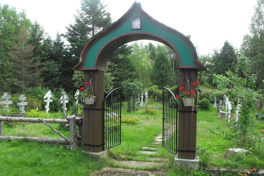
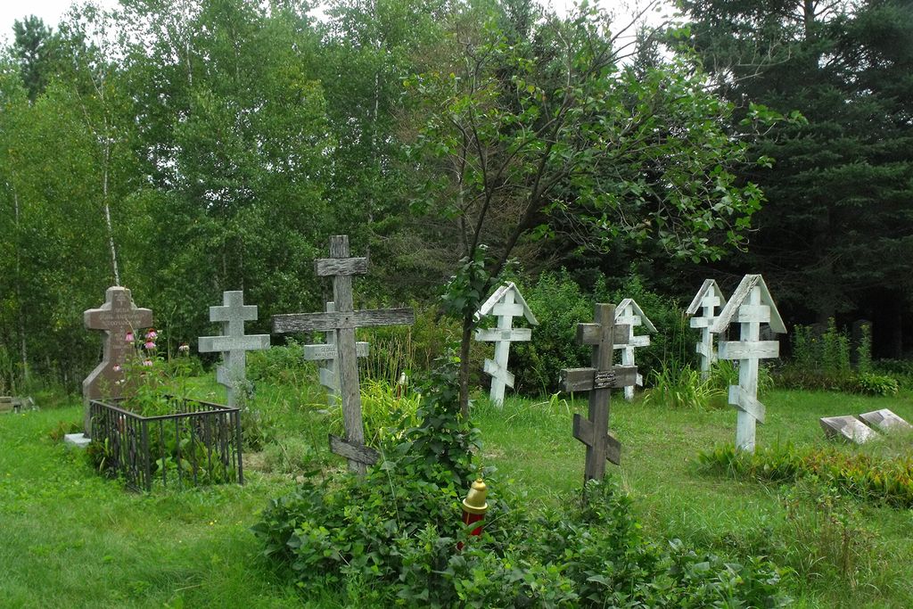
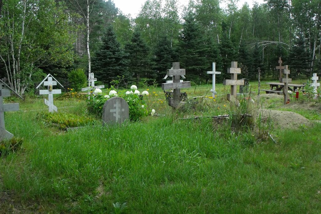
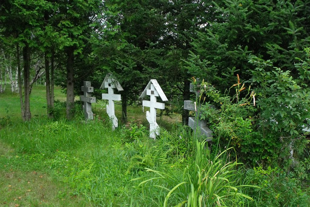
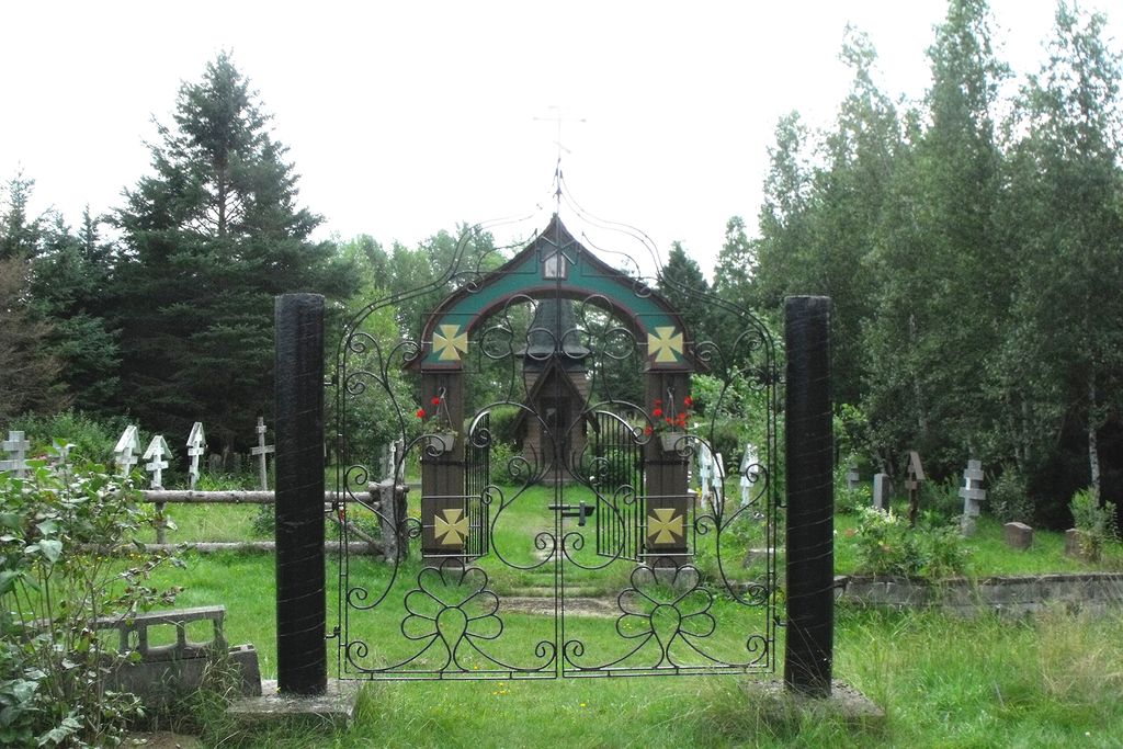
| Memorials | : | 0 |
| Location | : | Mansonville, Estrie Region, Canada |
| Coordinate | : | 45.0106890, -72.3957750 |
frequently asked questions (FAQ):
-
Where is Cimetière de la Ste-Transfiguration?
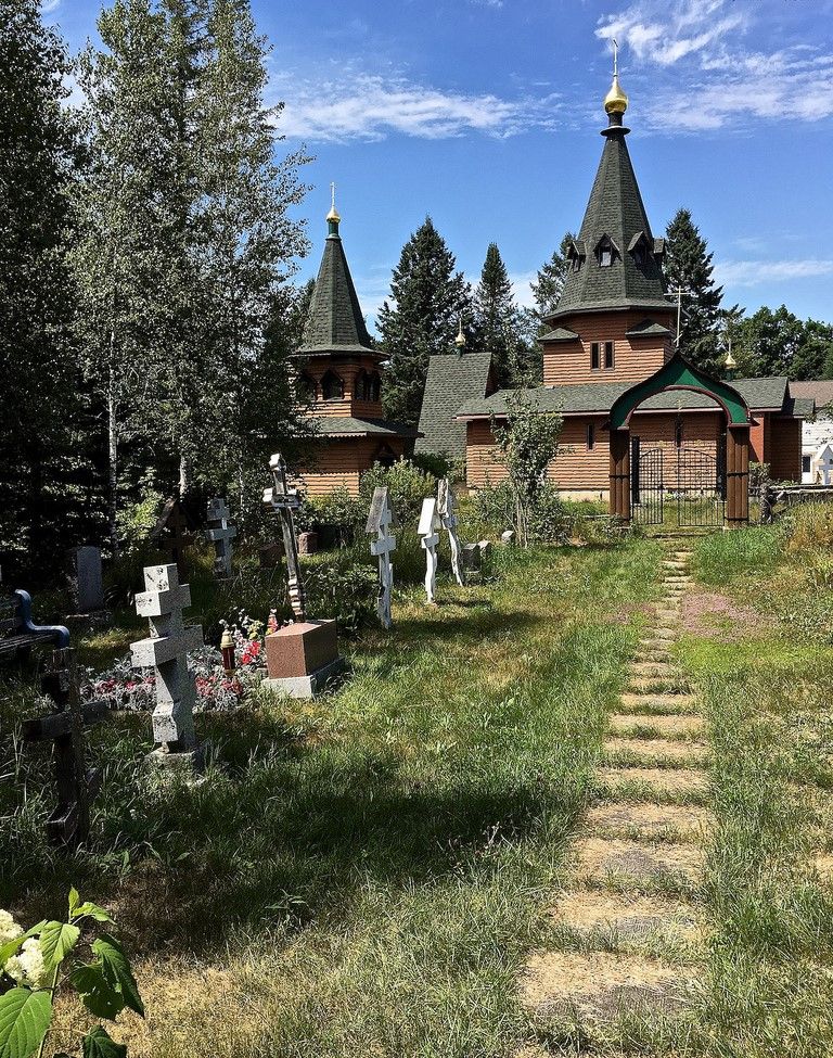
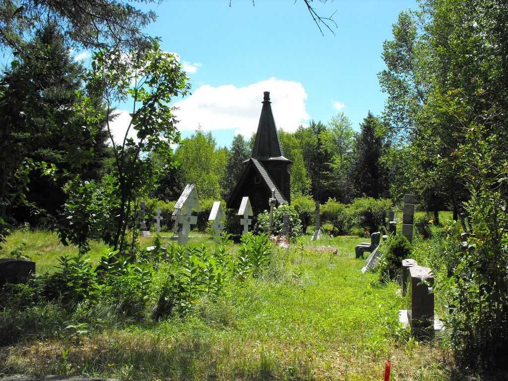
Cimetière de la Ste-Transfiguration is located at Mansonville, Estrie Region ,Quebec ,Canada.
-
Cimetière de la Ste-Transfiguration cemetery's updated grave count on graveviews.com?
0 memorials
-
Where are the coordinates of the Cimetière de la Ste-Transfiguration?
Latitude: 45.0106890
Longitude: -72.3957750
Nearby Cemetories:
1. Elkins Cemetery
Mansonville, Estrie Region, Canada
Coordinate: 45.0184720, -72.4083890
2. Province Hill Cemetery
Potton, Estrie Region, Canada
Coordinate: 45.0131860, -72.3725550
3. North Troy Cemetery
North Troy, Orleans County, USA
Coordinate: 44.9931300, -72.3857300
4. Notre Dame Cemetery
North Troy, Orleans County, USA
Coordinate: 44.9926700, -72.3835200
5. Miltimore Cemetery
Mansonville, Estrie Region, Canada
Coordinate: 45.0396531, -72.4131703
6. Gilman-Sargent Campground Cemetery
Potton, Estrie Region, Canada
Coordinate: 45.0317500, -72.4374100
7. Chapel Hill Cemetery
Mansonville, Estrie Region, Canada
Coordinate: 45.0493470, -72.4129620
8. Cimetière Saint-Cajetan
Mansonville, Estrie Region, Canada
Coordinate: 45.0570400, -72.3920900
9. Mansonville Protestant Cemetery
Mansonville, Estrie Region, Canada
Coordinate: 45.0572500, -72.3923800
10. Jay Center Cemetery
Jay, Orleans County, USA
Coordinate: 44.9632492, -72.4436951
11. Ruiter Settlement Cemetery
Dunkin, Estrie Region, Canada
Coordinate: 45.0523600, -72.4696000
12. Cimetière Owl's Head
Potton, Estrie Region, Canada
Coordinate: 45.0510620, -72.3073590
13. Blanchard Family Cemetery
Potton, Estrie Region, Canada
Coordinate: 45.0968370, -72.3947780
14. Leadville Cemetery
Leadville, Estrie Region, Canada
Coordinate: 45.0134290, -72.2733450
15. Brock Memorial Park
Glen Sutton, Monteregie Region, Canada
Coordinate: 45.0466300, -72.5087100
16. West Road Cemetery
Troy, Orleans County, USA
Coordinate: 44.9113700, -72.4053300
17. Troy Cemetery
Troy, Orleans County, USA
Coordinate: 44.9045100, -72.4030500
18. North Hill Cemetery
Westfield, Orleans County, USA
Coordinate: 44.9056800, -72.4309800
19. West Jay Cemetery
Jay, Orleans County, USA
Coordinate: 44.9968990, -72.5509210
20. Lake Road Cemetery
Newport, Orleans County, USA
Coordinate: 44.9703800, -72.2469900
21. Newport Center Cemetery
Newport Center, Orleans County, USA
Coordinate: 44.9225006, -72.2913971
22. East Richford Cemetery
East Richford, Franklin County, USA
Coordinate: 45.0111500, -72.5831400
23. Westfield Association Cemetery
Westfield, Orleans County, USA
Coordinate: 44.8793800, -72.4266900
24. Wrights Cemetery
South Newport, Orleans County, USA
Coordinate: 44.8747220, -72.3458330