
| Memorials | : | 2 |
| Location | : | Dunkin, Estrie Region, Canada |
| Coordinate | : | 45.0523600, -72.4696000 |
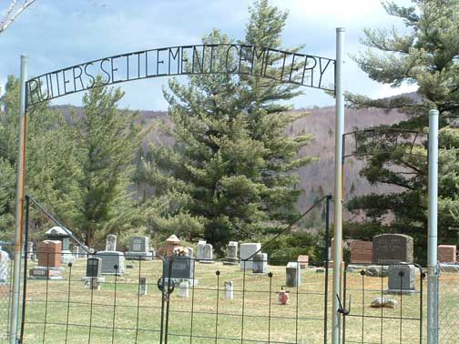
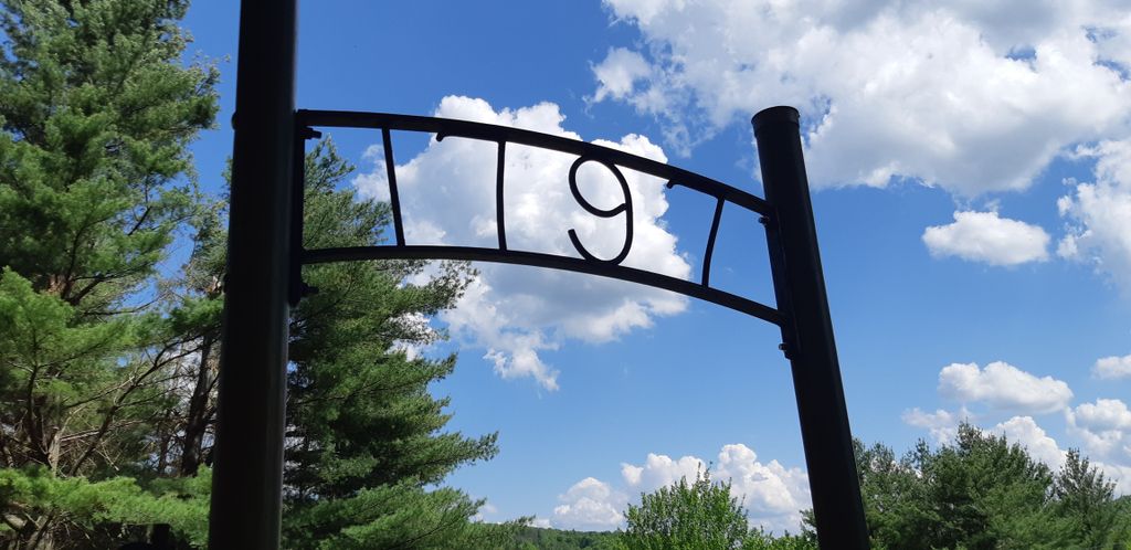
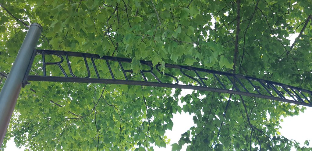
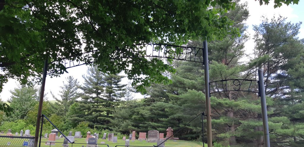
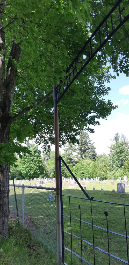
| Description | : | Ruiters Settlement Cemetery is a small cemetery sitting on high ground overlooking the small town of Dunkin and the Missisquoi Valley. This cemetery is very old but still in use and well maintained as you will notice by the large ornate sign over the entrance gate. There are a lot of very old stones here, some of them are unreadable. |
frequently asked questions (FAQ):
-
Where is Ruiter Settlement Cemetery?
Ruiter Settlement Cemetery is located at Dunkin, Estrie Region ,Quebec ,Canada.
-
Ruiter Settlement Cemetery cemetery's updated grave count on graveviews.com?
2 memorials
-
Where are the coordinates of the Ruiter Settlement Cemetery?
Latitude: 45.0523600
Longitude: -72.4696000

Nearby Cemetories:
1. Brock Memorial Park
Glen Sutton, Monteregie Region, Canada
Coordinate: 45.0466300, -72.5087100
2. Gilman-Sargent Campground Cemetery
Potton, Estrie Region, Canada
Coordinate: 45.0317500, -72.4374100
3. Chapel Hill Cemetery
Mansonville, Estrie Region, Canada
Coordinate: 45.0493470, -72.4129620
4. Miltimore Cemetery
Mansonville, Estrie Region, Canada
Coordinate: 45.0396531, -72.4131703
5. Mansonville Protestant Cemetery
Mansonville, Estrie Region, Canada
Coordinate: 45.0572500, -72.3923800
6. Elkins Cemetery
Mansonville, Estrie Region, Canada
Coordinate: 45.0184720, -72.4083890
7. Cimetière Saint-Cajetan
Mansonville, Estrie Region, Canada
Coordinate: 45.0570400, -72.3920900
8. Cimetière de la Ste-Transfiguration
Mansonville, Estrie Region, Canada
Coordinate: 45.0106890, -72.3957750
9. Blanchard Family Cemetery
Potton, Estrie Region, Canada
Coordinate: 45.0968370, -72.3947780
10. Province Hill Cemetery
Potton, Estrie Region, Canada
Coordinate: 45.0131860, -72.3725550
11. West Jay Cemetery
Jay, Orleans County, USA
Coordinate: 44.9968990, -72.5509210
12. North Troy Cemetery
North Troy, Orleans County, USA
Coordinate: 44.9931300, -72.3857300
13. Notre Dame Cemetery
North Troy, Orleans County, USA
Coordinate: 44.9926700, -72.3835200
14. East Richford Cemetery
East Richford, Franklin County, USA
Coordinate: 45.0111500, -72.5831400
15. Jay Center Cemetery
Jay, Orleans County, USA
Coordinate: 44.9632492, -72.4436951
16. Bennett Family Cemetery
Brome-Missisquoi, Monteregie Region, Canada
Coordinate: 45.1369450, -72.5622220
17. Barnett Monument Cemetery
Richford, Franklin County, USA
Coordinate: 45.0011562, -72.6134585
18. Cimetière Owl's Head
Potton, Estrie Region, Canada
Coordinate: 45.0510620, -72.3073590
19. Pleasant Valley Cemetery
Abercorn, Monteregie Region, Canada
Coordinate: 45.0368097, -72.6551700
20. Old Abercorn Cemetery
Abercorn, Monteregie Region, Canada
Coordinate: 45.0348200, -72.6575500
21. Cimetière Saint-Simon
Abercorn, Monteregie Region, Canada
Coordinate: 45.0383690, -72.6627150
22. Fuller Cemetery
Bolton-Ouest, Monteregie Region, Canada
Coordinate: 45.1933540, -72.4547550
23. Hillside Cemetery
Richford, Franklin County, USA
Coordinate: 45.0017000, -72.6590100
24. Leadville Cemetery
Leadville, Estrie Region, Canada
Coordinate: 45.0134290, -72.2733450