
| Memorials | : | 451 |
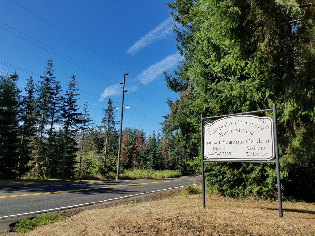
| Location | : | Chehalis, Lewis County, USA |
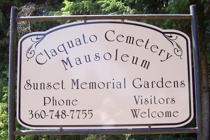
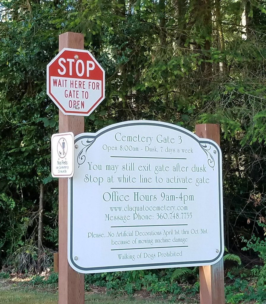
| Phone | : | 360 748 7755 |
| Coordinate | : | 46.6469002, -123.0216980 |
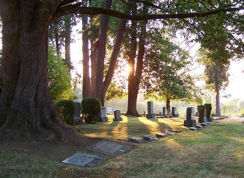
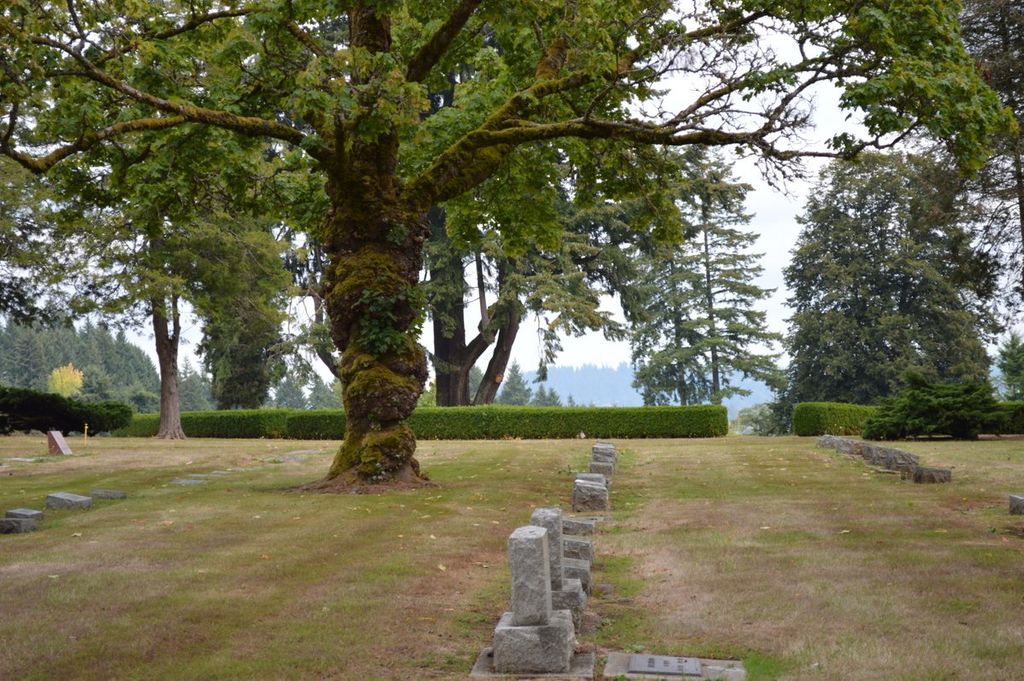
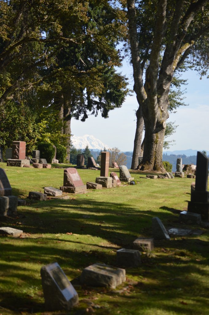
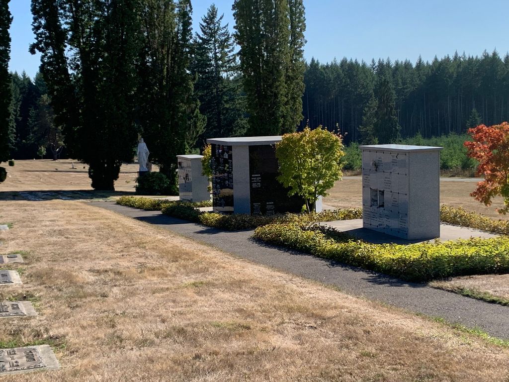
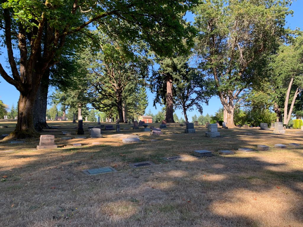
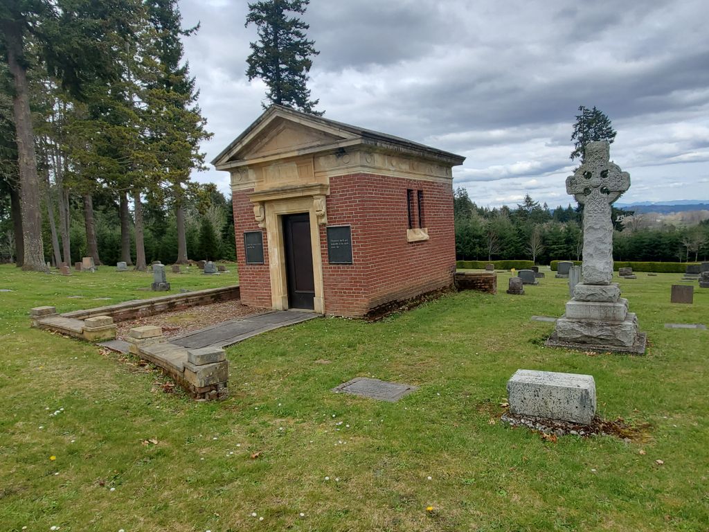
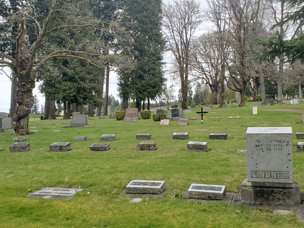
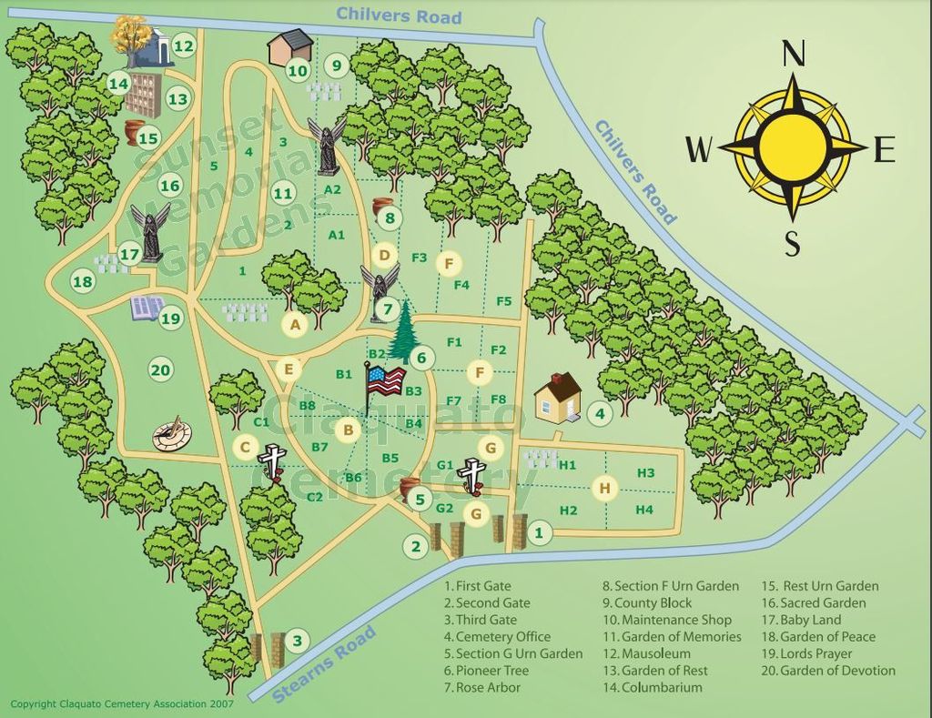
| Description | : | Sunset Memorial Gardens is now Claquato Cemetery as of 1973. NOTE: Those individuals buried in the Sunset Memorial Gardens before 1973 are considered buried in the Sunet Memorial Gardens (even though the whole cemetery is now the Claquato Cemetery est. 1856). Those individuals buried in that section of the cemetery in 1973 and later are considered buried in the Claquato Cemetery (est. 1856). In 1973, Claquato Cemetery (est. in 1856) and Sunset Memorial Gardens were combined under the direction of the Claquato Boad of Directors. |
frequently asked questions (FAQ):
-
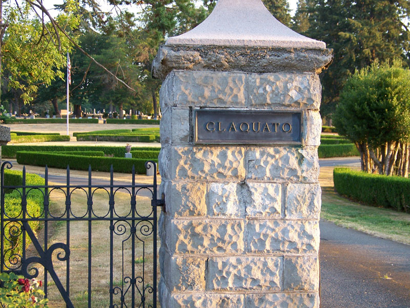
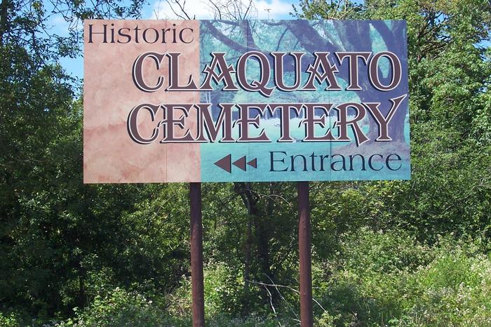
Where is Claquato Cemetery?
Claquato Cemetery is located at 142 Stearns Road, P. O. Box 1443 Chehalis, Lewis County ,Washington , 98532USA.
-
Claquato Cemetery cemetery's updated grave count on graveviews.com?
440 memorials
-
Where are the coordinates of the Claquato Cemetery?
Latitude: 46.6469002
Longitude: -123.0216980
Nearby Cemetories:
1. Newaukum Hill Cemetery
Lewis County, USA
Coordinate: 46.6338980, -122.9768320
2. Fern Hill Cemetery
Chehalis, Lewis County, USA
Coordinate: 46.6366710, -122.9418560
3. Greenwood Cemetery
Chehalis, Lewis County, USA
Coordinate: 46.6511002, -122.9389038
4. Pleasant Hill Cemetery
Bunker, Lewis County, USA
Coordinate: 46.6088840, -123.0863790
5. Pioneer Cemetery
Centralia, Lewis County, USA
Coordinate: 46.7290300, -122.9898100
6. Washington Lawn Cemetery
Centralia, Lewis County, USA
Coordinate: 46.7209320, -122.9606040
7. Mountain View Cemetery
Centralia, Lewis County, USA
Coordinate: 46.7289009, -122.9843979
8. Greenwood Memorial Park
Centralia, Lewis County, USA
Coordinate: 46.7372017, -122.9824982
9. Napavine Cemetery
Napavine, Lewis County, USA
Coordinate: 46.5817000, -122.9039000
10. Lincoln Creek Cemetery
Galvin, Lewis County, USA
Coordinate: 46.7604700, -123.1446600
11. Original Boistfort Cemetery
Boistfort, Lewis County, USA
Coordinate: 46.5234680, -123.1287680
12. Boistfort Cemetery
Boistfort, Lewis County, USA
Coordinate: 46.5228700, -123.1313650
13. Cogdil Family Cemetery
Thurston County, USA
Coordinate: 46.7747010, -122.8826590
14. Saint Urban Catholic Cemetery
Winlock, Lewis County, USA
Coordinate: 46.5177200, -122.8856500
15. Finn Hill Cemetery
Lewis County, USA
Coordinate: 46.7564011, -123.1919022
16. Dryad Cemetery
Dryad, Lewis County, USA
Coordinate: 46.6467667, -123.2665329
17. Winlock Cemetery
Winlock, Lewis County, USA
Coordinate: 46.4898000, -122.9336000
18. Grand Mound Cemetery
Rochester, Thurston County, USA
Coordinate: 46.8213997, -123.0199966
19. Secena Cemetery
Oakville, Grays Harbor County, USA
Coordinate: 46.8061600, -123.1611900
20. Chehalis Tribal Cemetery
Thurston County, USA
Coordinate: 46.8068570, -123.1602260
21. Deskins Family Cemetery
Chehalis, Lewis County, USA
Coordinate: 46.6878000, -122.7530000
22. Snow Cemetery
Lewis County, USA
Coordinate: 46.4552994, -123.0083008
23. Saint Joseph Cemetery
Pe Ell, Lewis County, USA
Coordinate: 46.5732590, -123.3012070
24. Forest Lawn Cemetery
Pe Ell, Lewis County, USA
Coordinate: 46.5649190, -123.3008280