
| Memorials | : | 0 |
| Location | : | Lewis County, USA |
| Coordinate | : | 46.6338980, -122.9768320 |
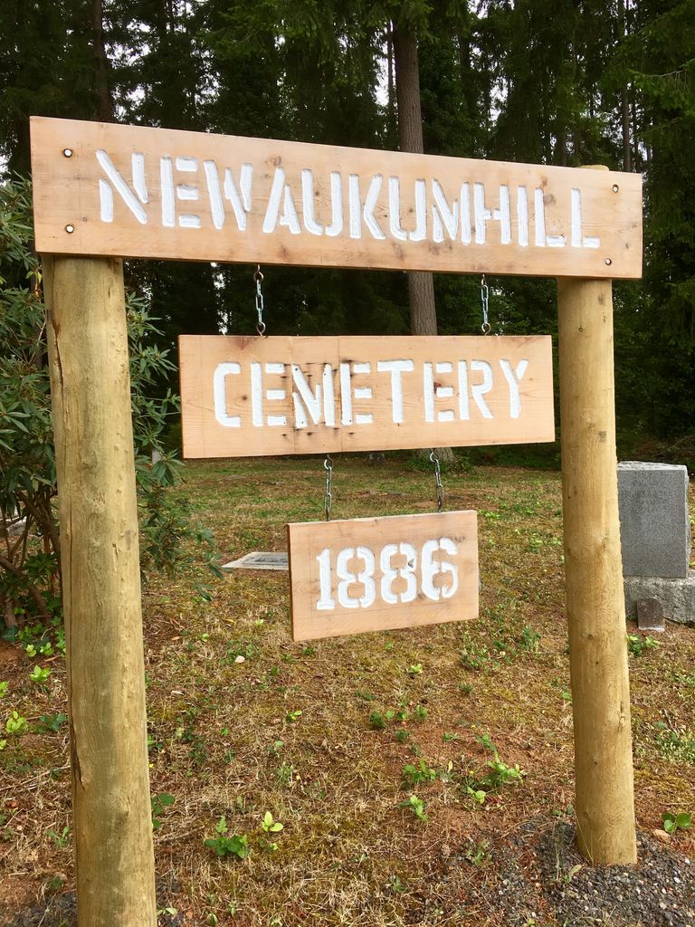
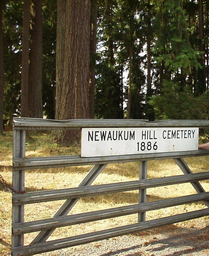
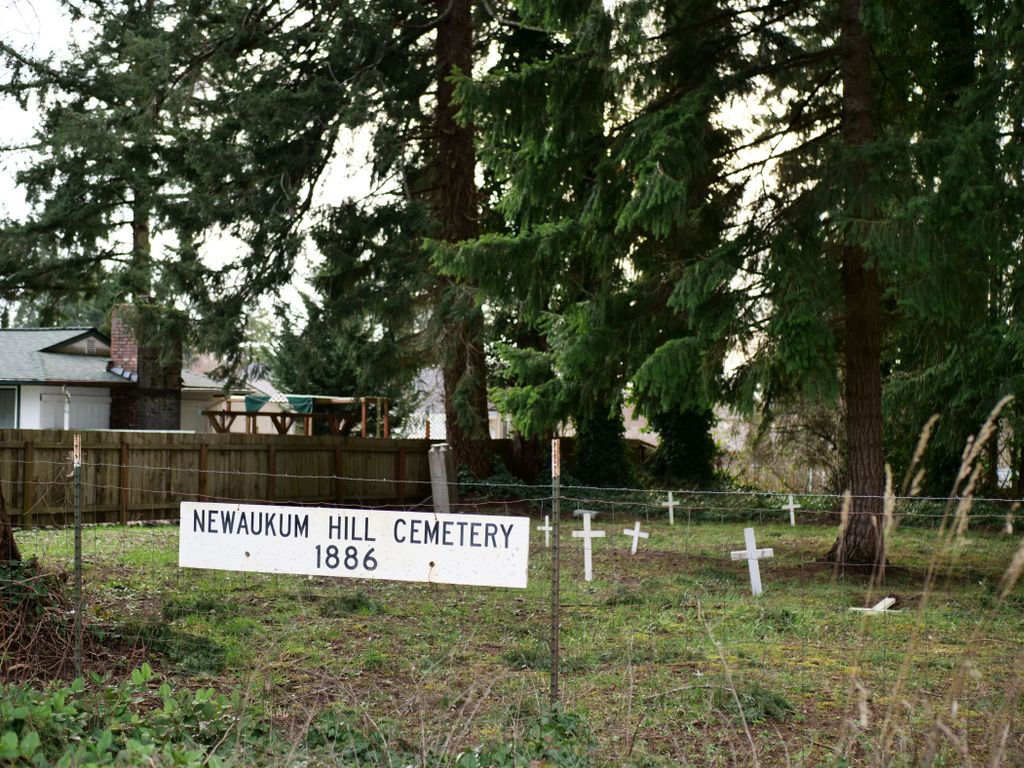
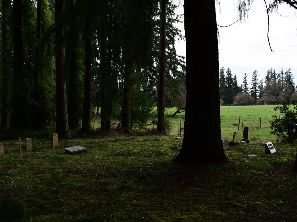
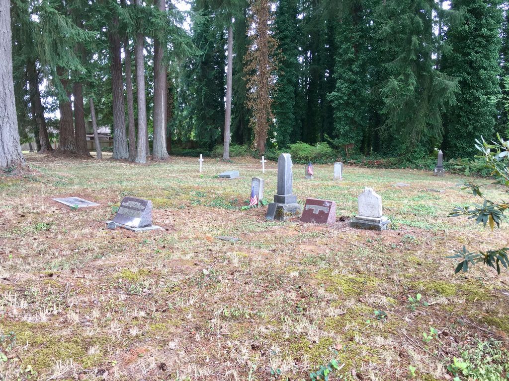
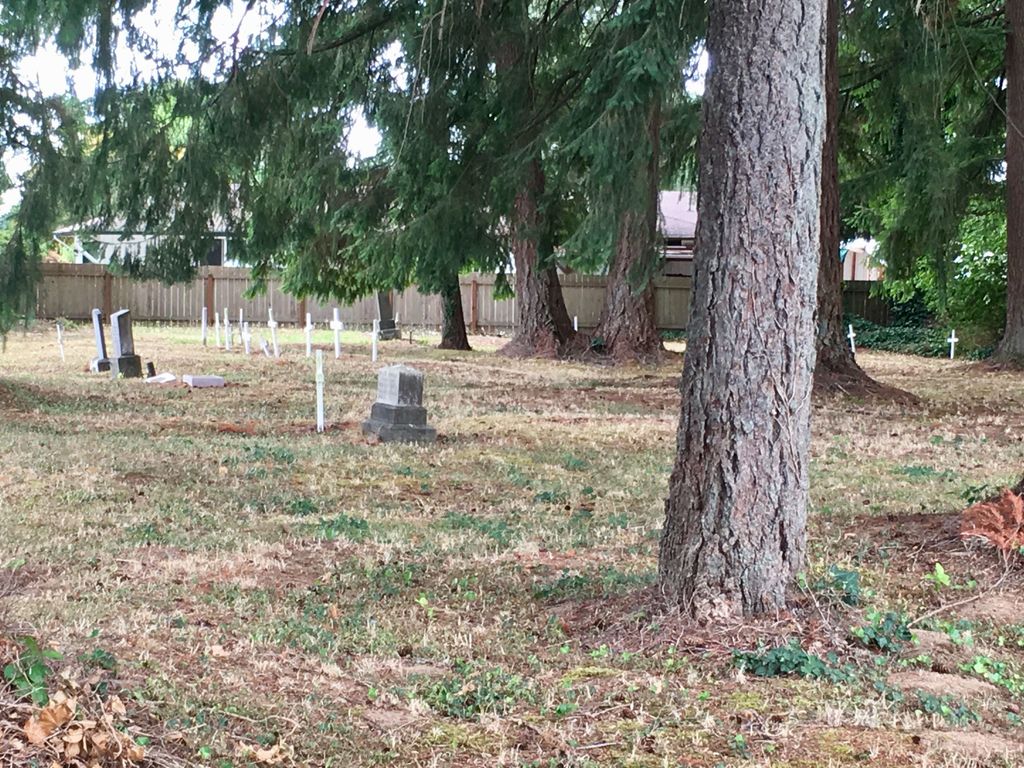
| Description | : | Cemetery History: The Newaukum Hill Cemetery is a small cemetery located in Section 7, Township 13 North, Range 2 West. The cemetery joins the John Thomas property to the north and consists of one acre. Susan E. Dickerson sold the land to John Bower in 1890; he later sold some land to Corton H. Haskell. Then Corton H. Haskell sold the land to Alick Frank. Documentation shows that 1 acre of land was held out for the cemetery. This one acre of land was mentioned in the sale of land from Alick Frank to Mary Brown in 1911.... Read More |
frequently asked questions (FAQ):
-
Where is Newaukum Hill Cemetery?
Newaukum Hill Cemetery is located at Lewis County ,Washington ,USA.
-
Newaukum Hill Cemetery cemetery's updated grave count on graveviews.com?
0 memorials
-
Where are the coordinates of the Newaukum Hill Cemetery?
Latitude: 46.6338980
Longitude: -122.9768320

Nearby Cemetories:
1. Fern Hill Cemetery
Chehalis, Lewis County, USA
Coordinate: 46.6366710, -122.9418560
2. Greenwood Cemetery
Chehalis, Lewis County, USA
Coordinate: 46.6511002, -122.9389038
3. Claquato Cemetery
Chehalis, Lewis County, USA
Coordinate: 46.6469002, -123.0216980
4. Napavine Cemetery
Napavine, Lewis County, USA
Coordinate: 46.5817000, -122.9039000
5. Pleasant Hill Cemetery
Bunker, Lewis County, USA
Coordinate: 46.6088840, -123.0863790
6. Washington Lawn Cemetery
Centralia, Lewis County, USA
Coordinate: 46.7209320, -122.9606040
7. Mountain View Cemetery
Centralia, Lewis County, USA
Coordinate: 46.7289009, -122.9843979
8. Pioneer Cemetery
Centralia, Lewis County, USA
Coordinate: 46.7290300, -122.9898100
9. Greenwood Memorial Park
Centralia, Lewis County, USA
Coordinate: 46.7372017, -122.9824982
10. Saint Urban Catholic Cemetery
Winlock, Lewis County, USA
Coordinate: 46.5177200, -122.8856500
11. Winlock Cemetery
Winlock, Lewis County, USA
Coordinate: 46.4898000, -122.9336000
12. Original Boistfort Cemetery
Boistfort, Lewis County, USA
Coordinate: 46.5234680, -123.1287680
13. Boistfort Cemetery
Boistfort, Lewis County, USA
Coordinate: 46.5228700, -123.1313650
14. Cogdil Family Cemetery
Thurston County, USA
Coordinate: 46.7747010, -122.8826590
15. Deskins Family Cemetery
Chehalis, Lewis County, USA
Coordinate: 46.6878000, -122.7530000
16. Lincoln Creek Cemetery
Galvin, Lewis County, USA
Coordinate: 46.7604700, -123.1446600
17. Snow Cemetery
Lewis County, USA
Coordinate: 46.4552994, -123.0083008
18. Grand Mound Cemetery
Rochester, Thurston County, USA
Coordinate: 46.8213997, -123.0199966
19. Finn Hill Cemetery
Lewis County, USA
Coordinate: 46.7564011, -123.1919022
20. Saint Francis Xavier Cemetery
Toledo, Lewis County, USA
Coordinate: 46.4670300, -122.8229400
21. Dryad Cemetery
Dryad, Lewis County, USA
Coordinate: 46.6467667, -123.2665329
22. Ethel Greenwood Cemetery
Ethel, Lewis County, USA
Coordinate: 46.5454280, -122.7145280
23. Toledo Cemetery
Toledo, Lewis County, USA
Coordinate: 46.4425400, -122.8500500
24. Forest Grove Cemetery
Tenino, Thurston County, USA
Coordinate: 46.8254580, -122.8497110