| Memorials | : | 0 |
| Location | : | Boistfort, Lewis County, USA |
| Coordinate | : | 46.5234680, -123.1287680 |
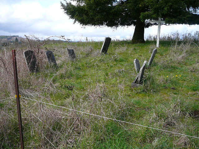
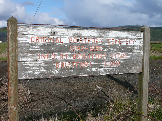
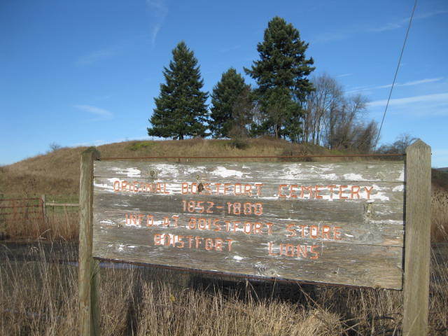
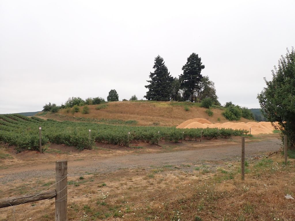
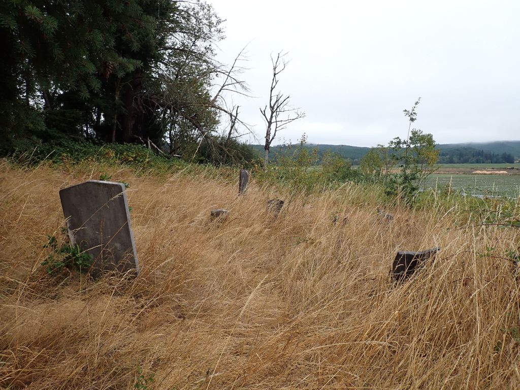
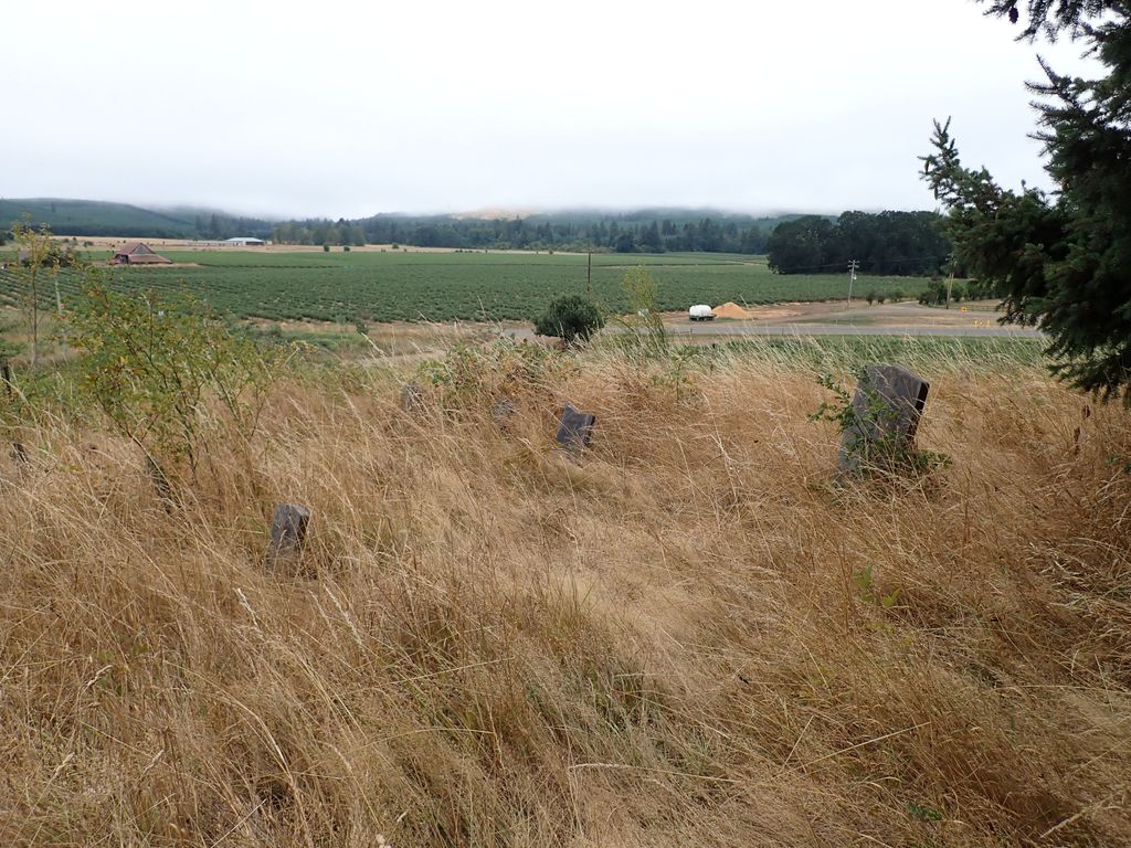
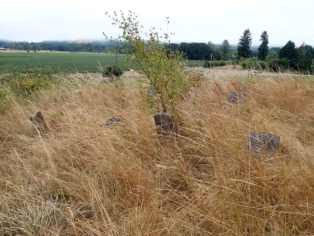
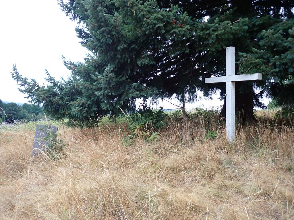
| Description | : | This cemetery was used by Boistfort Pioneers from about 1855 until 1887. This large mound is on the Old Buchanan Donation land claim. It was used by all people until the farm was sold in 1887. The new owner removed the headstones and burned over the ground. He was taken to court and was refused the right to plow the land but he refused anyone access to the property. In the 1940's a new owner built a fence around it but it was allowed to grow up into brush. Records of the cemetery were burned in a house fire and no one... Read More |
frequently asked questions (FAQ):
-
Where is Original Boistfort Cemetery?
Original Boistfort Cemetery is located at Boistfort, Lewis County ,Washington ,USA.
-
Original Boistfort Cemetery cemetery's updated grave count on graveviews.com?
0 memorials
-
Where are the coordinates of the Original Boistfort Cemetery?
Latitude: 46.5234680
Longitude: -123.1287680
Nearby Cemetories:
1. Boistfort Cemetery
Boistfort, Lewis County, USA
Coordinate: 46.5228700, -123.1313650
2. Pleasant Hill Cemetery
Bunker, Lewis County, USA
Coordinate: 46.6088840, -123.0863790
3. Snow Cemetery
Lewis County, USA
Coordinate: 46.4552994, -123.0083008
4. Forest Lawn Cemetery
Pe Ell, Lewis County, USA
Coordinate: 46.5649190, -123.3008280
5. Saint Josephs Catholic Cemetery
Pe Ell, Lewis County, USA
Coordinate: 46.5648880, -123.3031070
6. Saint Joseph Cemetery
Pe Ell, Lewis County, USA
Coordinate: 46.5732590, -123.3012070
7. Winlock Cemetery
Winlock, Lewis County, USA
Coordinate: 46.4898000, -122.9336000
8. Claquato Cemetery
Chehalis, Lewis County, USA
Coordinate: 46.6469002, -123.0216980
9. Little Falls Cemetery
Vader, Lewis County, USA
Coordinate: 46.4105988, -122.9867020
10. Newaukum Hill Cemetery
Lewis County, USA
Coordinate: 46.6338980, -122.9768320
11. Dryad Cemetery
Dryad, Lewis County, USA
Coordinate: 46.6467667, -123.2665329
12. Vader Catholic Cemetery
Vader, Lewis County, USA
Coordinate: 46.4051000, -122.9697000
13. Napavine Cemetery
Napavine, Lewis County, USA
Coordinate: 46.5817000, -122.9039000
14. Saint Urban Catholic Cemetery
Winlock, Lewis County, USA
Coordinate: 46.5177200, -122.8856500
15. Fern Hill Cemetery
Chehalis, Lewis County, USA
Coordinate: 46.6366710, -122.9418560
16. Greenwood Cemetery
Chehalis, Lewis County, USA
Coordinate: 46.6511002, -122.9389038
17. Toledo Cemetery
Toledo, Lewis County, USA
Coordinate: 46.4425400, -122.8500500
18. Saint Francis Xavier Cemetery
Toledo, Lewis County, USA
Coordinate: 46.4670300, -122.8229400
19. Pioneer Cemetery
Centralia, Lewis County, USA
Coordinate: 46.7290300, -122.9898100
20. Mountain View Cemetery
Centralia, Lewis County, USA
Coordinate: 46.7289009, -122.9843979
21. Washington Lawn Cemetery
Centralia, Lewis County, USA
Coordinate: 46.7209320, -122.9606040
22. Greenwood Memorial Park
Centralia, Lewis County, USA
Coordinate: 46.7372017, -122.9824982
23. Finn Hill Cemetery
Lewis County, USA
Coordinate: 46.7564011, -123.1919022
24. Lincoln Creek Cemetery
Galvin, Lewis County, USA
Coordinate: 46.7604700, -123.1446600

