
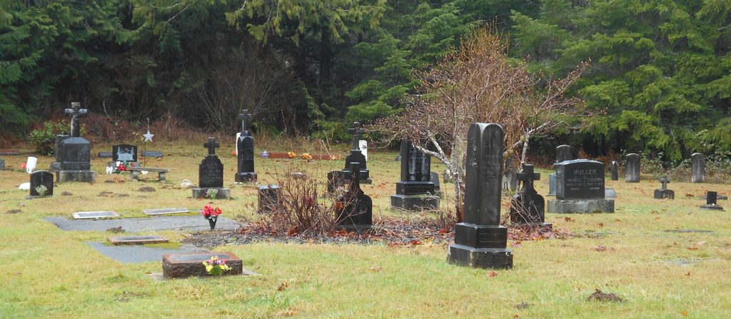
| Memorials | : | 36 |
| Location | : | Pe Ell, Lewis County, USA |
| Coordinate | : | 46.5732590, -123.3012070 |
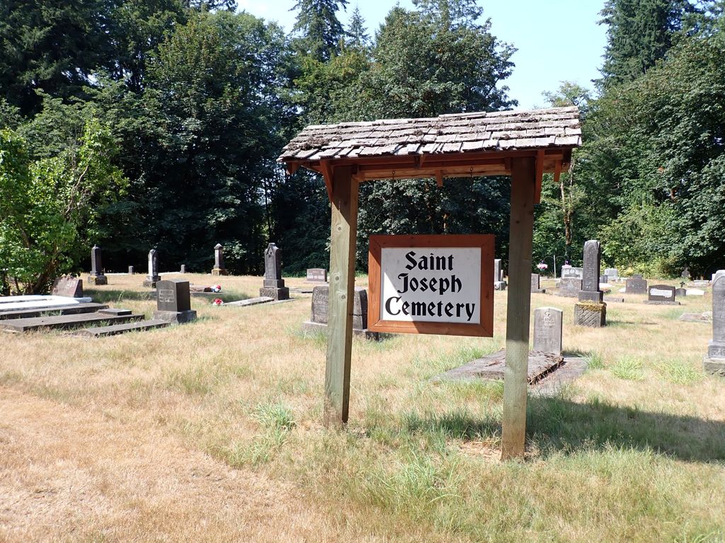
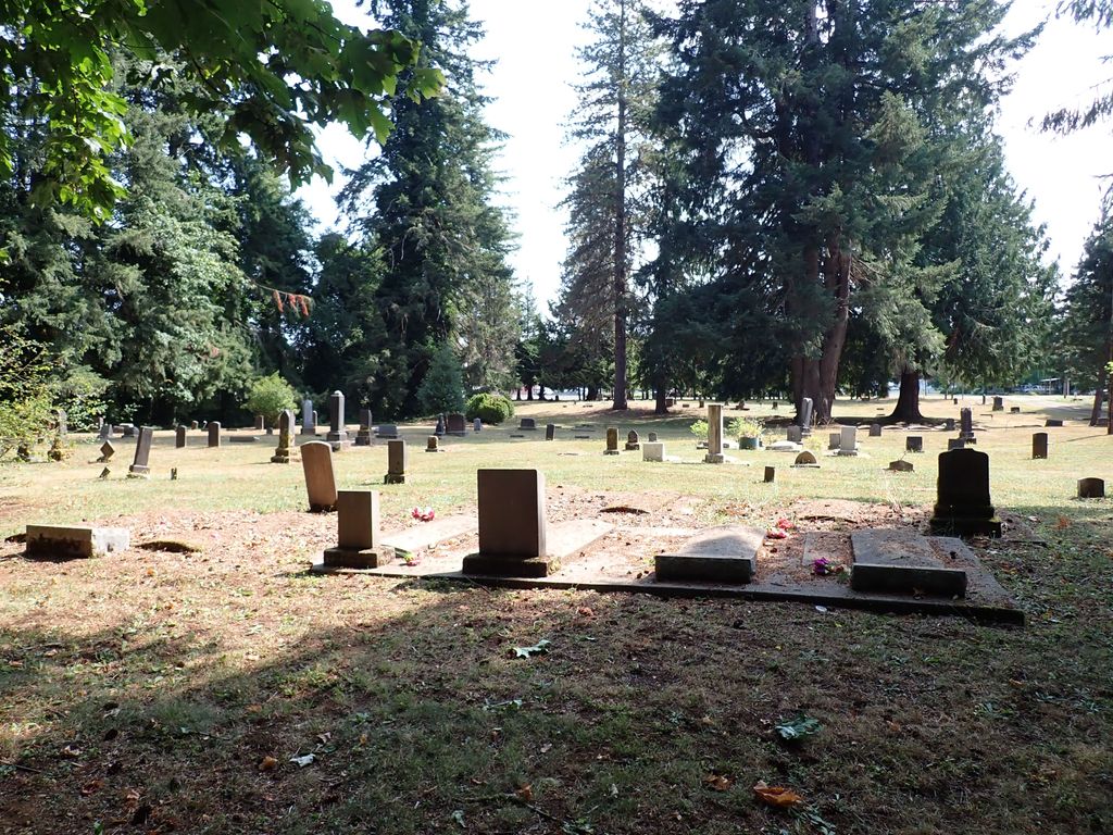
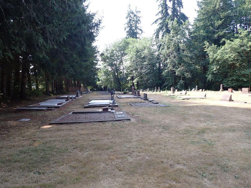
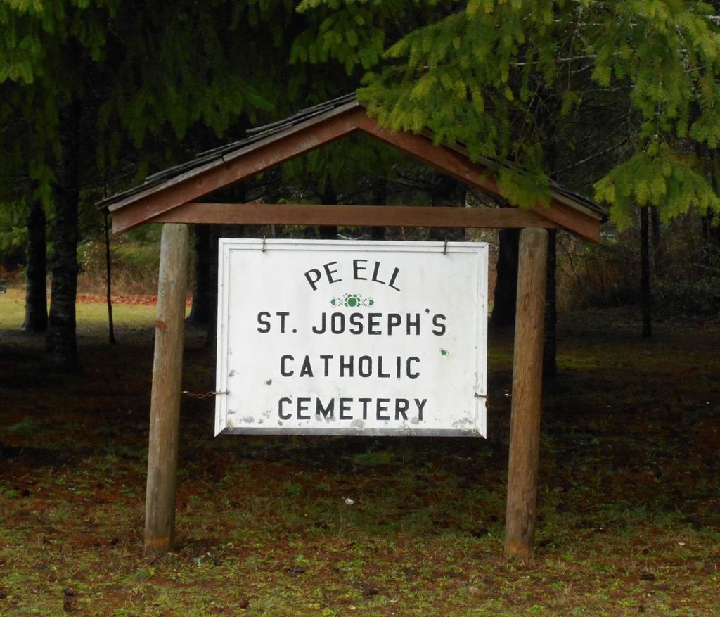
| Description | : | Administered by: St. Joseph Parish 360-354-2334 This cemetery was original made up of two sections both administered by St. Joseph Parish with the cemetery being official established in 1899 with an area of 1 acre. The area to the left of the road was set aside for Church member burials many of which were German and Polish immigrants to America and the right side of the road for none church members. At some date none church members also started to be buried in the back area of the left hand section. On burial records you will find... Read More |
frequently asked questions (FAQ):
-
Where is Saint Joseph Cemetery?
Saint Joseph Cemetery is located at Howard Street Pe Ell, Lewis County ,Washington , 98572USA.
-
Saint Joseph Cemetery cemetery's updated grave count on graveviews.com?
36 memorials
-
Where are the coordinates of the Saint Joseph Cemetery?
Latitude: 46.5732590
Longitude: -123.3012070


Nearby Cemetories:
1. Forest Lawn Cemetery
Pe Ell, Lewis County, USA
Coordinate: 46.5649190, -123.3008280
2. Saint Josephs Catholic Cemetery
Pe Ell, Lewis County, USA
Coordinate: 46.5648880, -123.3031070
3. Dryad Cemetery
Dryad, Lewis County, USA
Coordinate: 46.6467667, -123.2665329
4. Boistfort Cemetery
Boistfort, Lewis County, USA
Coordinate: 46.5228700, -123.1313650
5. Original Boistfort Cemetery
Boistfort, Lewis County, USA
Coordinate: 46.5234680, -123.1287680
6. Campbell Family Cemetery
Frances, Pacific County, USA
Coordinate: 46.5346950, -123.4939790
7. Holy Family Catholic Cemetery
Frances, Pacific County, USA
Coordinate: 46.5403270, -123.5000130
8. Pleasant Hill Cemetery
Bunker, Lewis County, USA
Coordinate: 46.6088840, -123.0863790
9. Fir Grove Cemetery
Lebam, Pacific County, USA
Coordinate: 46.5604910, -123.5548970
10. Maple Hill Cemetery
Lebam, Pacific County, USA
Coordinate: 46.5653150, -123.5671480
11. Finn Hill Cemetery
Lewis County, USA
Coordinate: 46.7564011, -123.1919022
12. Claquato Cemetery
Chehalis, Lewis County, USA
Coordinate: 46.6469002, -123.0216980
13. Lincoln Creek Cemetery
Galvin, Lewis County, USA
Coordinate: 46.7604700, -123.1446600
14. Newaukum Hill Cemetery
Lewis County, USA
Coordinate: 46.6338980, -122.9768320
15. Snow Cemetery
Lewis County, USA
Coordinate: 46.4552994, -123.0083008
16. North River Cemetery
Brooklyn, Pacific County, USA
Coordinate: 46.7750090, -123.4877010
17. Secena Cemetery
Oakville, Grays Harbor County, USA
Coordinate: 46.8061600, -123.1611900
18. Chehalis Tribal Cemetery
Thurston County, USA
Coordinate: 46.8068570, -123.1602260
19. Fern Hill Cemetery
Menlo, Pacific County, USA
Coordinate: 46.6338997, -123.6585999
20. Fern Hill Cemetery
Chehalis, Lewis County, USA
Coordinate: 46.6366710, -122.9418560
21. Giesy Family Cemetery
Menlo, Pacific County, USA
Coordinate: 46.6446780, -123.6625170
22. Greenwood Cemetery
Chehalis, Lewis County, USA
Coordinate: 46.6511002, -122.9389038
23. Benn Cemetery
Oakville, Grays Harbor County, USA
Coordinate: 46.8303540, -123.2239950
24. Oakville Pioneer Cemetery
Oakville, Grays Harbor County, USA
Coordinate: 46.8318939, -123.2229996