
| Memorials | : | 29 |
| Location | : | Springfield, Greene County, USA |
| Coordinate | : | 37.2538986, -93.4449997 |
| Description | : | From Springfield, Missouri go west on State Highway EE 5 ½ miles to Farm Road 93, turn right/north go about 1 mile to Farm Road 108 turn right/east. Cemetery is on right side of road. |
frequently asked questions (FAQ):
-
Where is Clear Creek Cemetery?
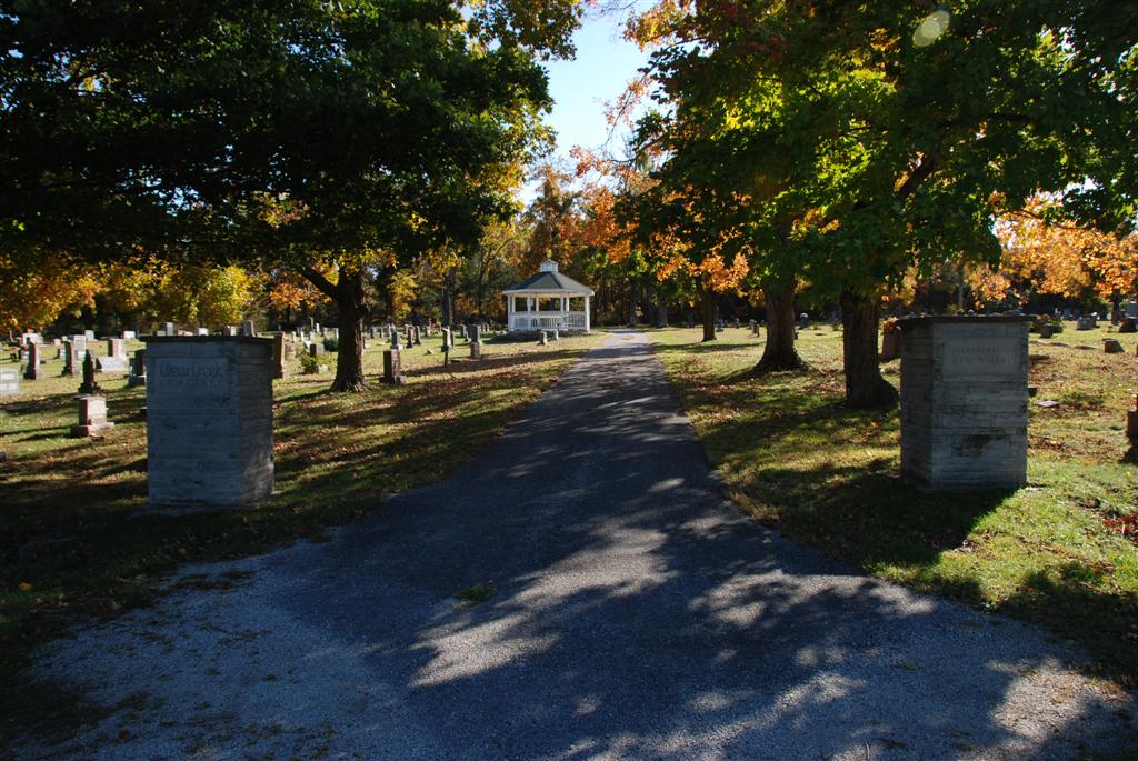
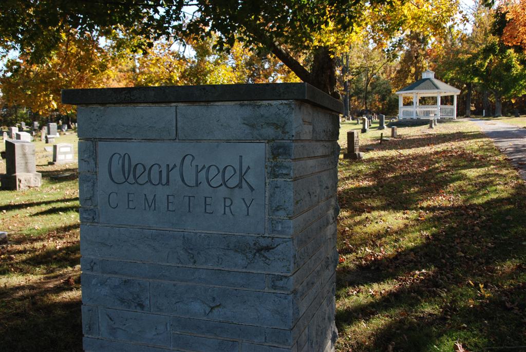
Clear Creek Cemetery is located at 7782 W Farm Road 108 Springfield, Greene County ,Missouri , 65802USA.
-
Clear Creek Cemetery cemetery's updated grave count on graveviews.com?
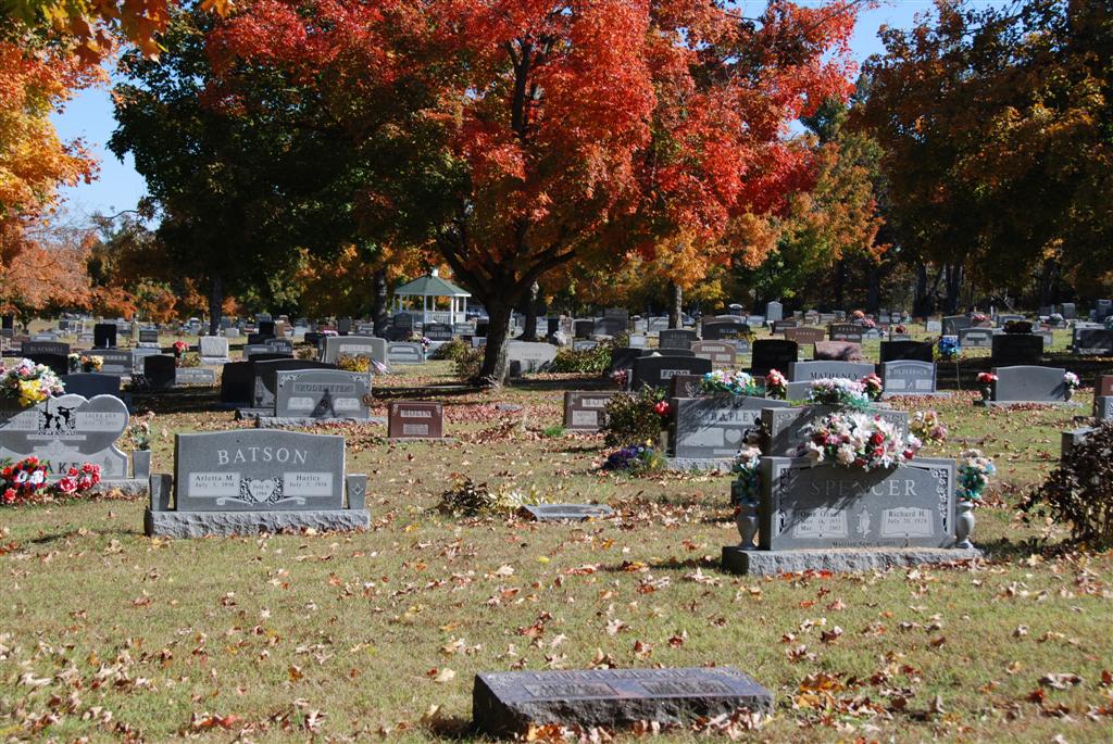
23 memorials
-
Where are the coordinates of the Clear Creek Cemetery?
Latitude: 37.2538986
Longitude: -93.4449997
Nearby Cemetories:
1. Murray Cemetery
Willard, Greene County, USA
Coordinate: 37.2872009, -93.4377975
2. Hughes Cemetery
Willard, Greene County, USA
Coordinate: 37.2871200, -93.4334600
3. White Chapel Memorial Gardens
Springfield, Greene County, USA
Coordinate: 37.2252998, -93.3906021
4. Gilmore Cemetery
Greene County, USA
Coordinate: 37.3035200, -93.4645400
5. Mount Pleasant Cemetery
Willard, Greene County, USA
Coordinate: 37.3028800, -93.4886500
6. Squibb Cemetery
Springfield, Greene County, USA
Coordinate: 37.2275009, -93.5136032
7. Resurrection Cemetery
Springfield, Greene County, USA
Coordinate: 37.2276200, -93.3747550
8. Alms House Cemetery
Springfield, Greene County, USA
Coordinate: 37.2319720, -93.3712130
9. Friends of the Family Pet Memorial Gardens
Springfield, Greene County, USA
Coordinate: 37.2323600, -93.3673400
10. Antioch Cemetery
Springfield, Greene County, USA
Coordinate: 37.2505989, -93.3538971
11. Yeakley Chapel Cemetery
Springfield, Greene County, USA
Coordinate: 37.2030487, -93.5101929
12. Wesley Cemetery
Willard, Greene County, USA
Coordinate: 37.3260994, -93.4328003
13. Brookline Cemetery
Brookline, Greene County, USA
Coordinate: 37.1702995, -93.4141998
14. Prospect Cemetery
Bois D'Arc, Greene County, USA
Coordinate: 37.2214584, -93.5498734
15. Sac River Cemetery AKA Slave Cemetery
Robberson Number 2 Township, Greene County, USA
Coordinate: 37.2898990, -93.3398060
16. Wilson Cemetery
Robberson Number 2 Township, Greene County, USA
Coordinate: 37.2894530, -93.3388070
17. Cave Spring Memorial Church Cemetery
Cave Spring, Greene County, USA
Coordinate: 37.3533510, -93.4635420
18. Rose Cemetery
Springfield, Greene County, USA
Coordinate: 37.1851470, -93.3462860
19. Russell and Ringenberg Cemetery
Springfield, Greene County, USA
Coordinate: 37.1695200, -93.3651580
20. Rountree Cemetery
Springfield, Greene County, USA
Coordinate: 37.1913532, -93.3367156
21. Saint Marys Cemetery
Springfield, Greene County, USA
Coordinate: 37.2038994, -93.3249969
22. Hampton Cemetery
Springfield, Greene County, USA
Coordinate: 37.1568298, -93.3744202
23. Banfield Cemetery
Greene County, USA
Coordinate: 37.2779400, -93.3071900
24. Johns Chapel Cemetery
Ash Grove, Greene County, USA
Coordinate: 37.2510414, -93.5864334