
| Memorials | : | 2 |
| Location | : | Coolspring, Jefferson County, USA |
| Coordinate | : | 41.0339012, -79.0847015 |
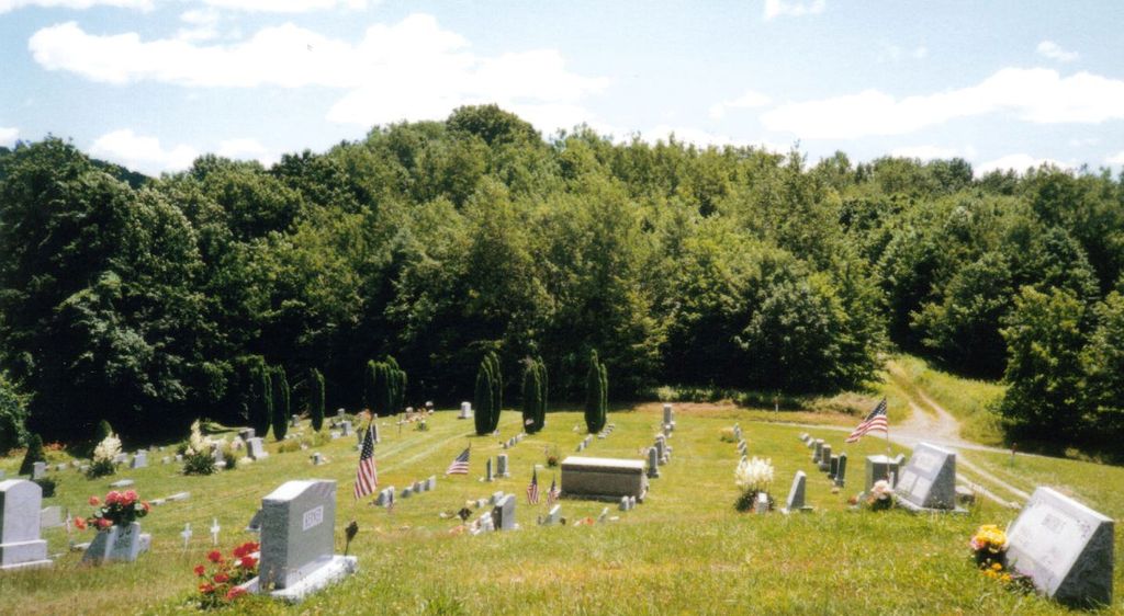
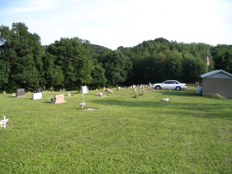
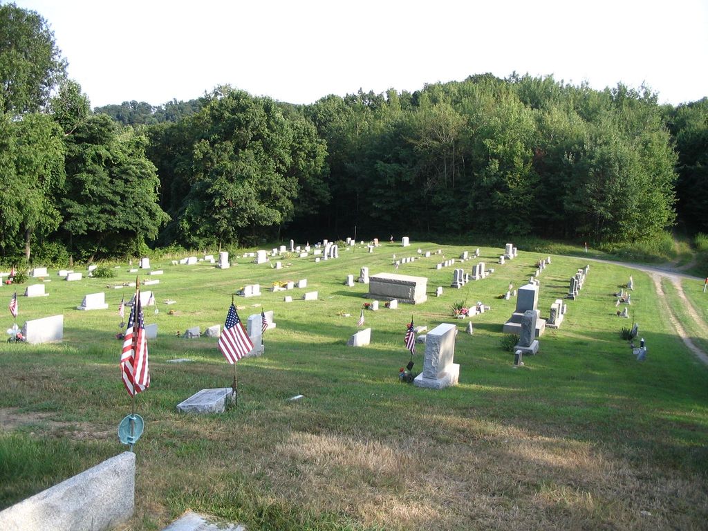
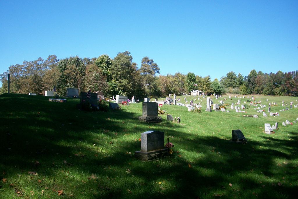
| Description | : | Oliver Township This cemetery is located at the top of the hill on Cochran Road,past the Saint Pauls' Lutheran Cemetery AKA The Garden of Peace Cemetery,which is at the bottom of the hill |
frequently asked questions (FAQ):
-
Where is Coolspring Cemetery?
Coolspring Cemetery is located at Cemetery Road (Cochran Road) Coolspring, Jefferson County ,Pennsylvania ,USA.
-
Coolspring Cemetery cemetery's updated grave count on graveviews.com?
2 memorials
-
Where are the coordinates of the Coolspring Cemetery?
Latitude: 41.0339012
Longitude: -79.0847015

Nearby Cemetories:
1. Saint Pauls Lutheran Cemetery
Coolspring, Jefferson County, USA
Coordinate: 41.0328170, -79.0810670
2. Mauk Cemetery
Jefferson County, USA
Coordinate: 41.0241600, -79.1097200
3. Burkett Hollow Cemetery
Markton, Jefferson County, USA
Coordinate: 41.0175000, -79.0575000
4. Markton Cemetery
Markton, Jefferson County, USA
Coordinate: 41.0101000, -79.0605000
5. Barton Chapel Cemetery
Sprankle Mills, Jefferson County, USA
Coordinate: 41.0026054, -79.0983047
6. Cliff United Methodist Church Cemetery
Langville, Jefferson County, USA
Coordinate: 41.0545000, -79.1246000
7. Worthville Cemetery
Worthville, Jefferson County, USA
Coordinate: 41.0207062, -79.1404419
8. Saint Matthews Evangelical Lutheran Cemetery
Ramsaytown, Jefferson County, USA
Coordinate: 41.0742600, -79.0574100
9. Beaver Run Cemetery
Stanton, Jefferson County, USA
Coordinate: 41.0734634, -79.1145248
10. Ramsaytown United Methodist Cemetery
Ramsaytown, Jefferson County, USA
Coordinate: 41.0799000, -79.0792000
11. Minteer-McClatchy Burial Site
Worthville, Jefferson County, USA
Coordinate: 41.0291250, -79.1503140
12. Old Ebenezer Cemetery
Jefferson County, USA
Coordinate: 40.9846000, -79.1208600
13. Saint Johns Reformed UCC Cemetery
Jefferson County, USA
Coordinate: 40.9810000, -79.1180000
14. Olive Cemetery
Oliveburg, Jefferson County, USA
Coordinate: 40.9940000, -79.0270000
15. Conifer Cemetery
Jefferson County, USA
Coordinate: 41.0828018, -79.1427994
16. Bethlehem Lutheran Cemetery
Ohl, Jefferson County, USA
Coordinate: 41.0583992, -79.1675415
17. Langville United Methodist Cemetery
Jefferson County, USA
Coordinate: 41.0373000, -79.1763000
18. Grange Church of God Cemetery
Grange, Jefferson County, USA
Coordinate: 40.9647170, -79.0876330
19. Center Hill Cemetery
Jefferson County, USA
Coordinate: 41.0705185, -79.0066376
20. Zion Cemetery
Langville, Jefferson County, USA
Coordinate: 41.0539017, -79.1753006
21. Mount Tabor United Methodist Church Cemetery
Battle Hollow, Jefferson County, USA
Coordinate: 41.0030000, -78.9970000
22. Knoxdale Mount Pleasant Cemetery
Knox Dale, Jefferson County, USA
Coordinate: 41.0911903, -79.0241013
23. Shoffner Family Cemetery
Ringgold, Jefferson County, USA
Coordinate: 40.9785050, -79.1498420
24. Ringgold United Methodist Church Cemetery
Ringgold, Jefferson County, USA
Coordinate: 40.9932137, -79.1680603