
| Memorials | : | 0 |
| Location | : | Coad's Green, Cornwall Unitary Authority, England |
| Phone | : | +44 01566 786947 |
| Website | : | www.lamc.org.uk |
| Coordinate | : | 50.5643053, -4.4126086 |
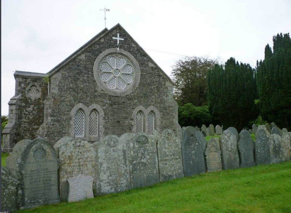
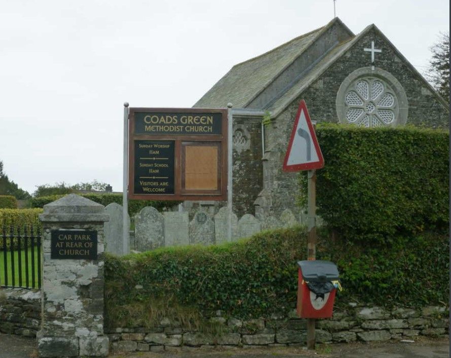
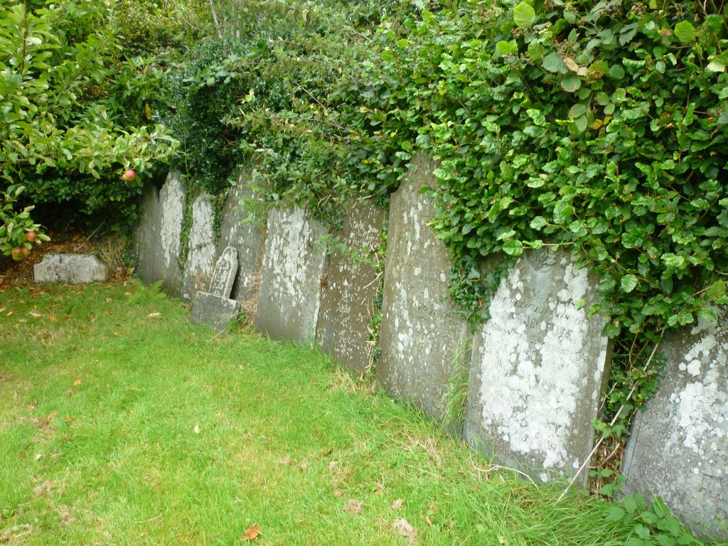
| Description | : | Adjacent to Coad's Green Methodist Church to the north, and east of Coad's Green Primary School which is on the B3257 roadway. It is approximately one square block. |
frequently asked questions (FAQ):
-
Where is Coads Green Methodist Church Cemetery?
Coads Green Methodist Church Cemetery is located at Coad's Green, Cornwall Unitary Authority ,Cornwall , PL15 7NGEngland.
-
Coads Green Methodist Church Cemetery cemetery's updated grave count on graveviews.com?
0 memorials
-
Where are the coordinates of the Coads Green Methodist Church Cemetery?
Latitude: 50.5643053
Longitude: -4.4126086
Nearby Cemetories:
1. St. Melor Churchyard
Linkinhorne, Cornwall Unitary Authority, England
Coordinate: 50.5376040, -4.3728820
2. St Briochus Churchyard
Lezant, Cornwall Unitary Authority, England
Coordinate: 50.5878210, -4.3484720
3. Treburley Cemetery
Callington, Cornwall Unitary Authority, England
Coordinate: 50.5755556, -4.3308333
4. Golberdon Methodist Burial Ground
Golberdon, Cornwall Unitary Authority, England
Coordinate: 50.5167500, -4.3605400
5. Tregada Chapel Cemetery
Launceston, Cornwall Unitary Authority, England
Coordinate: 50.6022996, -4.3390569
6. All Saints Churchyard
Dunterton, West Devon Borough, England
Coordinate: 50.5909760, -4.2958300
7. Truscott Chapel Cemetery
Launceston, Cornwall Unitary Authority, England
Coordinate: 50.6369820, -4.3600720
8. St Thomas the Apostle Churchyard
Launceston, Cornwall Unitary Authority, England
Coordinate: 50.6411650, -4.3662600
9. St Mary Churchyard
Callington, Cornwall Unitary Authority, England
Coordinate: 50.5035020, -4.3158890
10. St. Stephen the Martyr
Launceston, Cornwall Unitary Authority, England
Coordinate: 50.6465400, -4.3702200
11. Callington Cemetery
Callington, Cornwall Unitary Authority, England
Coordinate: 50.4992660, -4.3194640
12. St Mary
Sydenham Damerel, West Devon Borough, England
Coordinate: 50.5617270, -4.2604490
13. Holy Trinity Churchyard
Bolventor, Cornwall Unitary Authority, England
Coordinate: 50.5602100, -4.5708200
14. Halbathick Quaker Burial Ground
Liskeard, Cornwall Unitary Authority, England
Coordinate: 50.4658770, -4.4615280
15. Trevecca Cemetery
Liskeard, Cornwall Unitary Authority, England
Coordinate: 50.4642000, -4.4672000
16. Saint Mary's Church Cemetery
Lifton, West Devon Borough, England
Coordinate: 50.6427200, -4.2839200
17. St. Martin's Parish Churchyard
Liskeard, Cornwall Unitary Authority, England
Coordinate: 50.4533600, -4.4600000
18. Lanchard Municipal
Liskeard, Cornwall Unitary Authority, England
Coordinate: 50.4513600, -4.4685200
19. Dobwalls Methodist Churchyard
Liskeard, Cornwall Unitary Authority, England
Coordinate: 50.4581330, -4.5151630
20. Albaston Cemetery
Calstock, Cornwall Unitary Authority, England
Coordinate: 50.5133240, -4.2225080
21. St. Giles' Parish Churchyard
St Giles on the Heath, Torridge District, England
Coordinate: 50.6914989, -4.3245055
22. Boyton Methodist Chapel
Boyton, Cornwall Unitary Authority, England
Coordinate: 50.7023020, -4.3816220
23. Bennacott Chapel
Boyton, Cornwall Unitary Authority, England
Coordinate: 50.7048188, -4.4127882
24. Lamerton Cemetery
Lamerton, West Devon Borough, England
Coordinate: 50.5736420, -4.1907340