
| Memorials | : | 1 |
| Location | : | Callington, Cornwall Unitary Authority, England |
| Coordinate | : | 50.5035020, -4.3158890 |
frequently asked questions (FAQ):
-
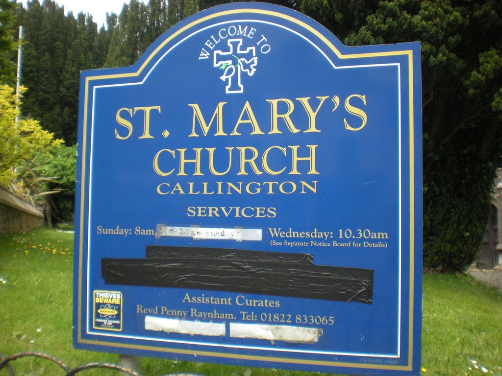
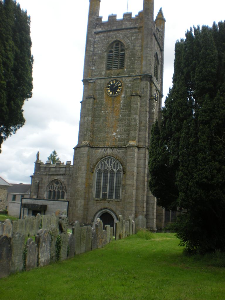
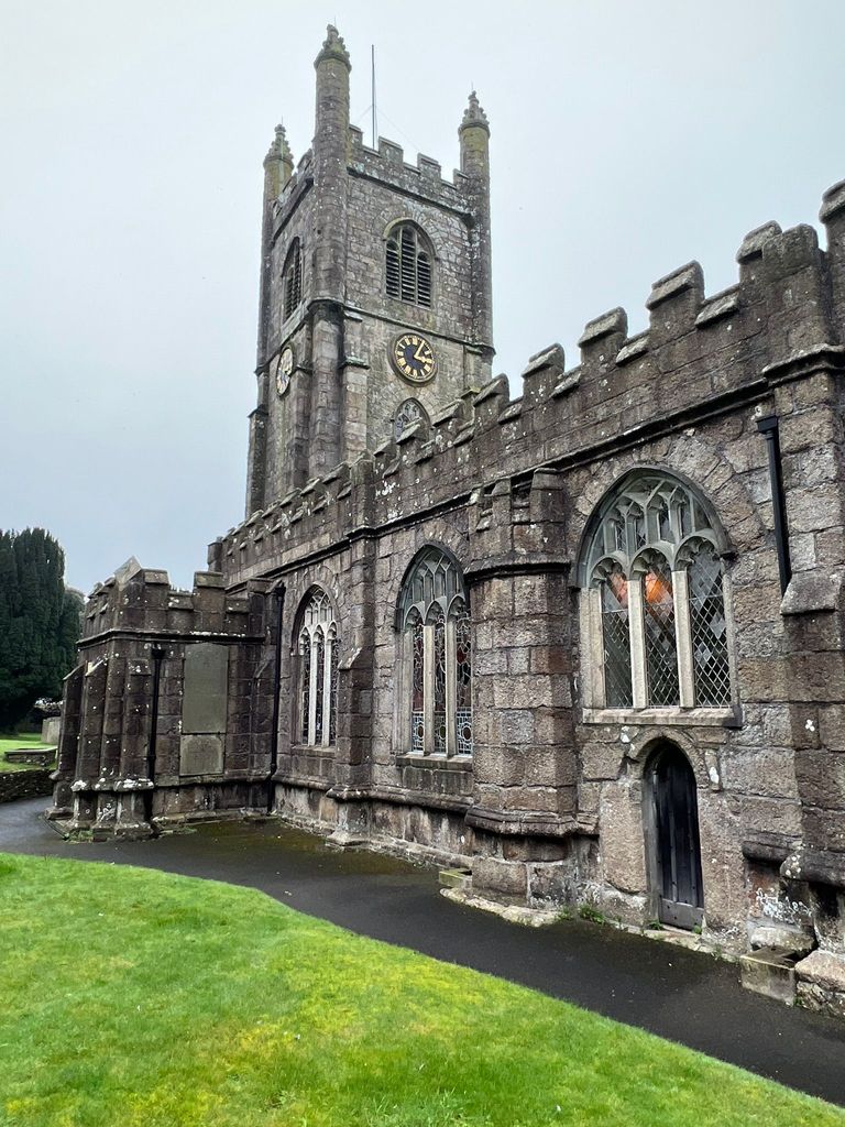
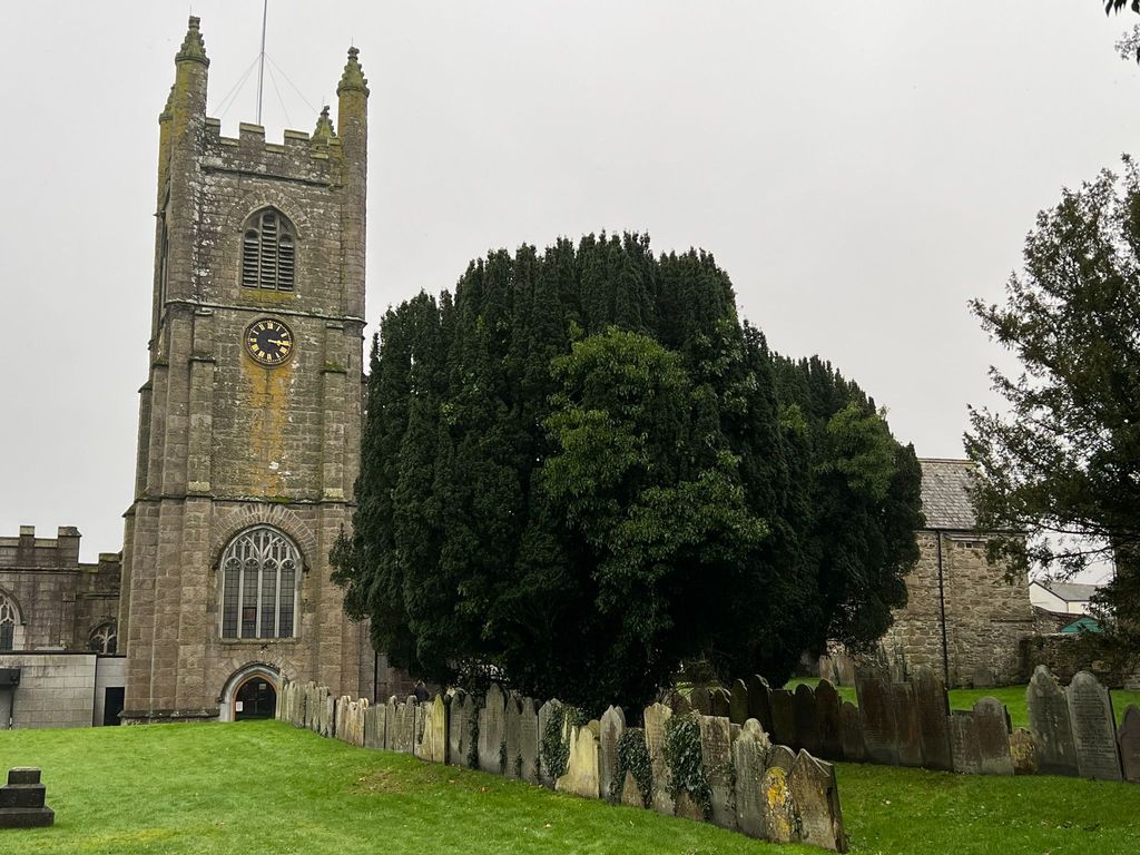
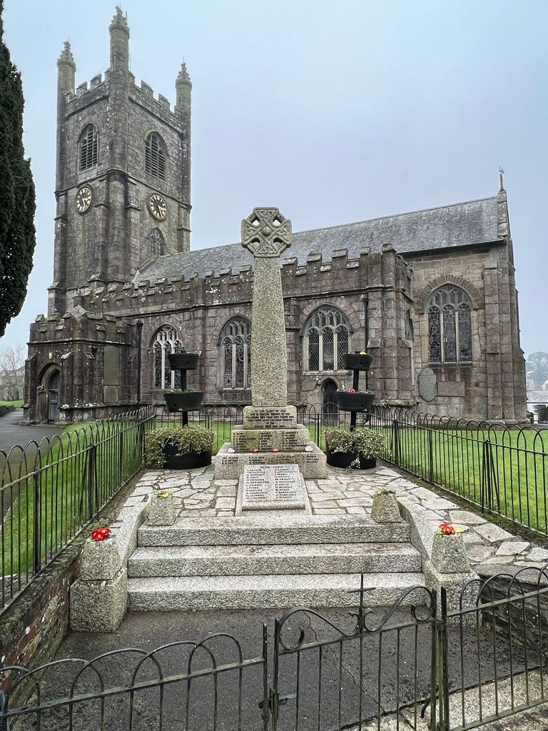
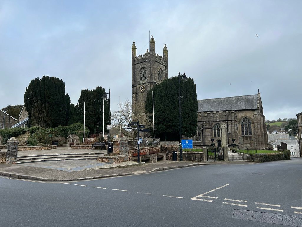
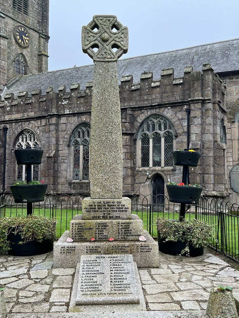
Where is St Mary Churchyard?
St Mary Churchyard is located at Callington, Cornwall Unitary Authority ,Cornwall , PL17 7REEngland.
-
St Mary Churchyard cemetery's updated grave count on graveviews.com?
0 memorials
-
Where are the coordinates of the St Mary Churchyard?
Latitude: 50.5035020
Longitude: -4.3158890
Nearby Cemetories:
1. Callington Cemetery
Callington, Cornwall Unitary Authority, England
Coordinate: 50.4992660, -4.3194640
2. Golberdon Methodist Burial Ground
Golberdon, Cornwall Unitary Authority, England
Coordinate: 50.5167500, -4.3605400
3. St. Melor Churchyard
Linkinhorne, Cornwall Unitary Authority, England
Coordinate: 50.5376040, -4.3728820
4. Albaston Cemetery
Calstock, Cornwall Unitary Authority, England
Coordinate: 50.5133240, -4.2225080
5. St Mary
Sydenham Damerel, West Devon Borough, England
Coordinate: 50.5617270, -4.2604490
6. Calstock Cemetery
Calstock, Cornwall Unitary Authority, England
Coordinate: 50.5021300, -4.2082100
7. St Andrew Churchyard
Calstock, Cornwall Unitary Authority, England
Coordinate: 50.5021270, -4.2062400
8. Treburley Cemetery
Callington, Cornwall Unitary Authority, England
Coordinate: 50.5755556, -4.3308333
9. St. Paul Churchyard
Gulworthy, West Devon Borough, England
Coordinate: 50.5335800, -4.1918400
10. Holy Trinity Churchyard
Bere Alston, West Devon Borough, England
Coordinate: 50.4789735, -4.1881879
11. St Mary's Botus Fleming
Botus Fleming, Cornwall Unitary Authority, England
Coordinate: 50.4298100, -4.2483700
12. Coads Green Methodist Church Cemetery
Coad's Green, Cornwall Unitary Authority, England
Coordinate: 50.5643053, -4.4126086
13. St Briochus Churchyard
Lezant, Cornwall Unitary Authority, England
Coordinate: 50.5878210, -4.3484720
14. All Saints Churchyard
Dunterton, West Devon Borough, England
Coordinate: 50.5909760, -4.2958300
15. St. Erney Churchyard
Landrake, Cornwall Unitary Authority, England
Coordinate: 50.4085300, -4.2943000
16. St. Leonard & St. Dilpe Churchyard
Landulph, Cornwall Unitary Authority, England
Coordinate: 50.4324670, -4.2104830
17. Tregada Chapel Cemetery
Launceston, Cornwall Unitary Authority, England
Coordinate: 50.6022996, -4.3390569
18. Halbathick Quaker Burial Ground
Liskeard, Cornwall Unitary Authority, England
Coordinate: 50.4658770, -4.4615280
19. Trevecca Cemetery
Liskeard, Cornwall Unitary Authority, England
Coordinate: 50.4642000, -4.4672000
20. St. Martin's Parish Churchyard
Liskeard, Cornwall Unitary Authority, England
Coordinate: 50.4533600, -4.4600000
21. St. Andrew's Churchyard
Bere Ferrers, West Devon Borough, England
Coordinate: 50.4505300, -4.1715320
22. Lamerton Cemetery
Lamerton, West Devon Borough, England
Coordinate: 50.5736420, -4.1907340
23. Lanchard Municipal
Liskeard, Cornwall Unitary Authority, England
Coordinate: 50.4513600, -4.4685200
24. St. Eustachius Churchyard
Tavistock, West Devon Borough, England
Coordinate: 50.5498420, -4.1451830