
| Memorials | : | 0 |
| Location | : | Placerville, El Dorado County, USA |
| Coordinate | : | 38.7342796, -120.8028488 |
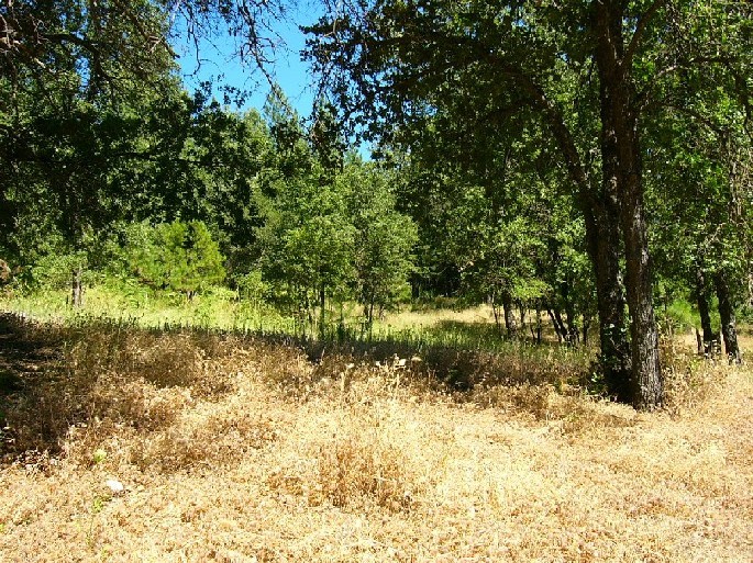
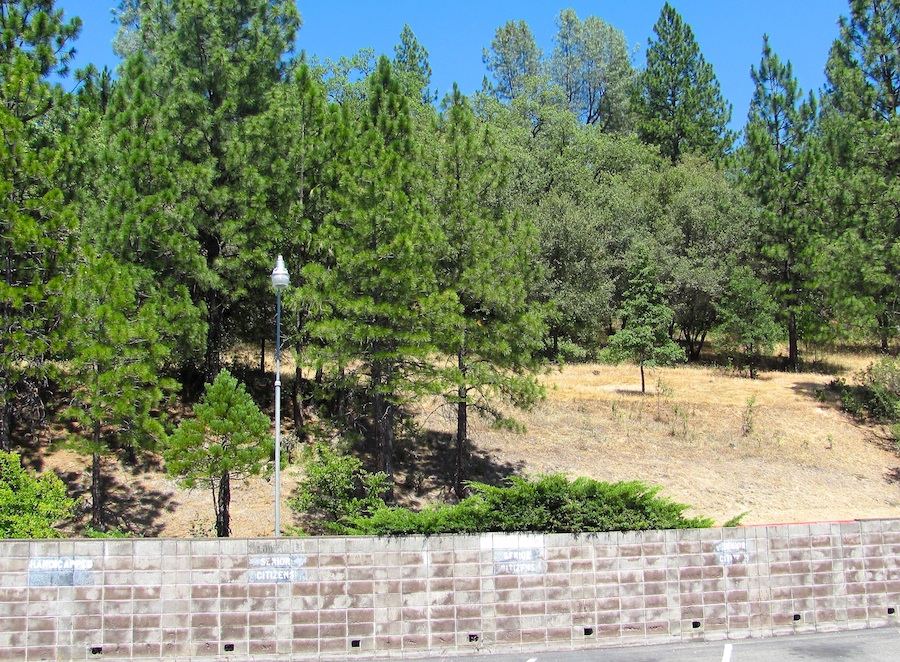
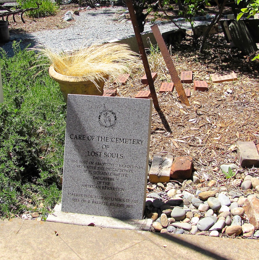
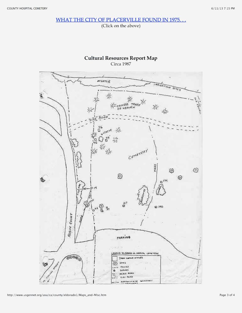
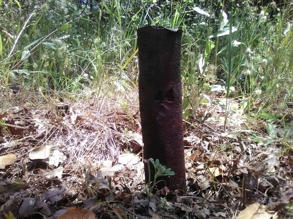
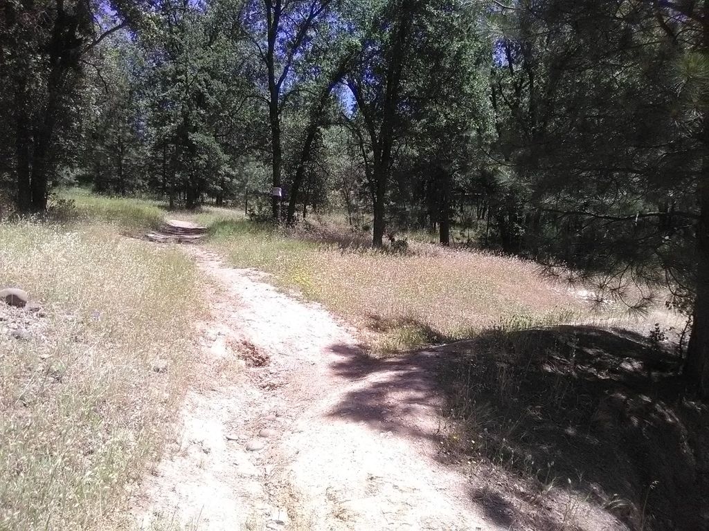
| Description | : | The cemetery is apparently abandoned and no markers remain. View of West Side of Cemetery. At Hospital Cemetery, burials began in 1862 when a new hospital was built at this eight acres site. The hospital and its burial grounds were plated in 1891 by El Dorado County and they also required that graves be marked or numbered. A small slab of black slate at the head of the grave was required by 1896. In 1899 the Grand Jury recommended metal numbered stakes; records show this was done in 1914, but possibly earlier. Interments are recorded from... Read More |
frequently asked questions (FAQ):
-
Where is County Hospital Cemetery?
County Hospital Cemetery is located at Spring and Tunnel Streets Placerville, El Dorado County ,California ,USA.
-
County Hospital Cemetery cemetery's updated grave count on graveviews.com?
0 memorials
-
Where are the coordinates of the County Hospital Cemetery?
Latitude: 38.7342796
Longitude: -120.8028488
Nearby Cemetories:
1. Saint Patrick Cemetery
Placerville, El Dorado County, USA
Coordinate: 38.7327995, -120.8047638
2. Boles Family Cemetery
Placerville, El Dorado County, USA
Coordinate: 38.7309860, -120.8069580
3. Placerville Union Cemetery
Placerville, El Dorado County, USA
Coordinate: 38.7317390, -120.8084106
4. Jewish Pioneer Cemetery
Placerville, El Dorado County, USA
Coordinate: 38.7299500, -120.8091965
5. Old Placerville City Cemetery
Placerville, El Dorado County, USA
Coordinate: 38.7258987, -120.8059464
6. Methodist Episcopal Federated Cemetery
Placerville, El Dorado County, USA
Coordinate: 38.7283287, -120.7942200
7. Old Saint Patricks Cemetery
Placerville, El Dorado County, USA
Coordinate: 38.7249107, -120.8024673
8. Uppertown Cemetery
Placerville, El Dorado County, USA
Coordinate: 38.7320900, -120.7890625
9. Middletown Cemetery
Placerville, El Dorado County, USA
Coordinate: 38.7358704, -120.8301010
10. Westwood Hills Memorial Park Pet Cemetery
Placerville, El Dorado County, USA
Coordinate: 38.7365210, -120.8323130
11. Westwood Hills Memorial Park
Placerville, El Dorado County, USA
Coordinate: 38.7367363, -120.8326035
12. Weberville Cemetery
Placerville, El Dorado County, USA
Coordinate: 38.7024170, -120.7901000
13. Jacquier Family Cemetery
Placerville, El Dorado County, USA
Coordinate: 38.7424420, -120.7602750
14. Missouri Flat Cemetery
Placerville, El Dorado County, USA
Coordinate: 38.7157360, -120.8403400
15. Smiths Flat Cemetery
Placerville, El Dorado County, USA
Coordinate: 38.7325287, -120.7552414
16. Chili Bar Toll House Cemetery
Placerville, El Dorado County, USA
Coordinate: 38.7700530, -120.8177660
17. Odd Fellows Cemetery
Diamond Springs, El Dorado County, USA
Coordinate: 38.6963882, -120.8151932
18. Carpenter Family Residence Burial Plot
Diamond Springs, El Dorado County, USA
Coordinate: 38.6941590, -120.8187750
19. Diamond Springs Cemetery
Diamond Springs, El Dorado County, USA
Coordinate: 38.6940960, -120.8186620
20. Kingsville Cemetery
El Dorado, El Dorado County, USA
Coordinate: 38.6993870, -120.8516060
21. Cold Springs Cemetery
Cold Springs, El Dorado County, USA
Coordinate: 38.7441444, -120.8721619
22. Kelsey Cemetery
Kelsey, El Dorado County, USA
Coordinate: 38.7949791, -120.8200073
23. El Dorado Cemetery
El Dorado, El Dorado County, USA
Coordinate: 38.6804085, -120.8490067
24. Andre Family Cemetery
Placerville, El Dorado County, USA
Coordinate: 38.7822250, -120.7466710