| Memorials | : | 5 |
| Location | : | Concordia, Lafayette County, USA |
| Coordinate | : | 38.9647268, -93.5668693 |
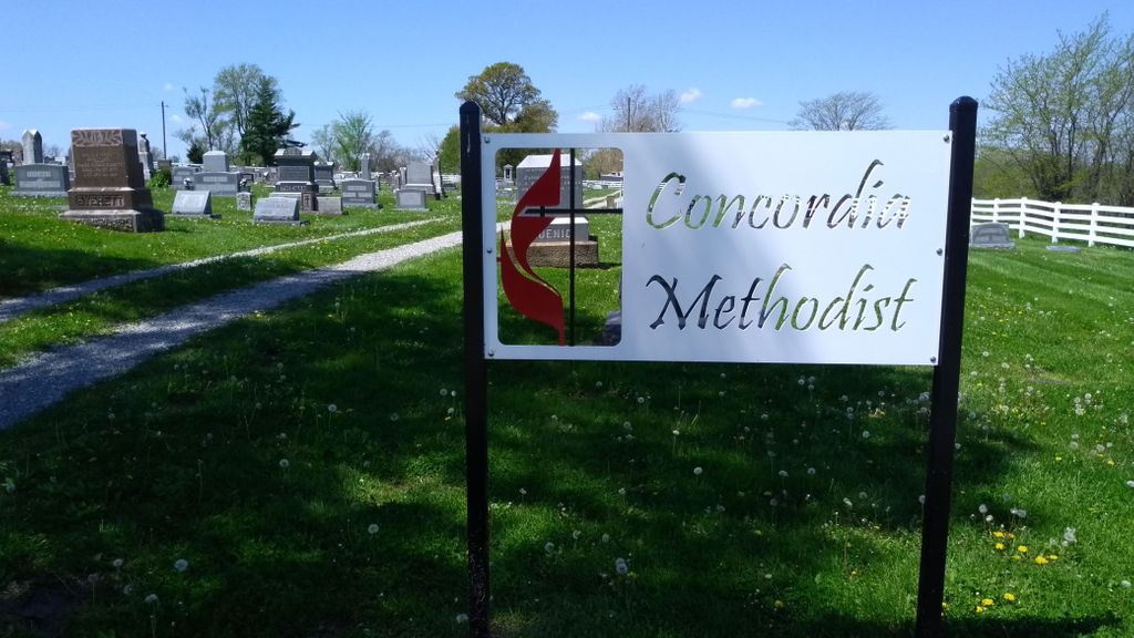
| Description | : | There are three cemeteries in this area that directly boarder each other. Concordia Baptist Cemetery, Evangelical Cemetery (aka Bethel United Church of Christ Cemetery), and Concordia Methodist Cemetery. It is very easy to get confused as to where the boarder lines are for these 3 cemeteries. The Corcordia Baptist is furthest South. Evengelical Cemetery is in the middle, and the Concordia Methodist Cemetery is the furthest North. Many of the graves for Concordia Methodist Cemetery have been incorrectly indexed to the Evangelical Cemetery. Please allow the Concordia Methodist Cemetery to be created so we can get this corrected. |
frequently asked questions (FAQ):
-
Where is Concordia Methodist Cemetery?
Concordia Methodist Cemetery is located at Concordia, Lafayette County ,Missouri ,USA.
-
Concordia Methodist Cemetery cemetery's updated grave count on graveviews.com?
5 memorials
-
Where are the coordinates of the Concordia Methodist Cemetery?
Latitude: 38.9647268
Longitude: -93.5668693
Nearby Cemetories:
1. Evangelical Cemetery
Concordia, Lafayette County, USA
Coordinate: 38.9641991, -93.5674973
2. Concordia Baptist Cemetery
Concordia, Lafayette County, USA
Coordinate: 38.9641700, -93.5677100
3. Saint Pauls Lutheran Cemetery
Concordia, Lafayette County, USA
Coordinate: 38.9896110, -93.5641850
4. Zoar Methodist Cemetery
Concordia, Lafayette County, USA
Coordinate: 38.9840400, -93.6031600
5. Saint John Cemetery
Emma, Lafayette County, USA
Coordinate: 38.9911003, -93.5211029
6. New Hope Cemetery
Lafayette County, USA
Coordinate: 38.9664001, -93.6327972
7. Holy Cross Lutheran Cemetery
Emma, Lafayette County, USA
Coordinate: 38.9828987, -93.4947662
8. Saint Matthews Lutheran Church Cemetery
Ernestville, Lafayette County, USA
Coordinate: 38.9331100, -93.6310800
9. Payne Cemetery
Dunksburg, Johnson County, USA
Coordinate: 38.8936005, -93.5541992
10. Zion Hill Cemetery
Concordia, Lafayette County, USA
Coordinate: 38.9339013, -93.6624380
11. Saint Peter's Memorial Cemetery
Davis Township, Lafayette County, USA
Coordinate: 39.0451300, -93.5350600
12. Marshall Cemetery
Warrensburg, Johnson County, USA
Coordinate: 38.8750000, -93.5586014
13. Mount Zion Cemetery
Dunksburg, Johnson County, USA
Coordinate: 38.8913900, -93.4975490
14. Pleasant Grove Cemetery
Alma, Lafayette County, USA
Coordinate: 39.0525017, -93.5346985
15. Rothwell Cemetery
Johnson County, USA
Coordinate: 38.8711010, -93.5410000
16. Major Family Cemetery
Aullville, Lafayette County, USA
Coordinate: 38.9707400, -93.6943400
17. Poe Cemetery
Sweet Springs, Saline County, USA
Coordinate: 39.0249200, -93.4641600
18. Gowin Cemetery
Dunksburg, Johnson County, USA
Coordinate: 38.8747550, -93.4994240
19. Foster Cemetery
Johnson County, USA
Coordinate: 38.8932991, -93.6647034
20. Lewis Family Cemetery
Alma, Lafayette County, USA
Coordinate: 39.0610200, -93.5136300
21. Blackwater Chapel Cemetery
Houstonia, Pettis County, USA
Coordinate: 38.8908000, -93.4661600
22. Hocker Cemetery
Knob Noster, Johnson County, USA
Coordinate: 38.8567009, -93.5413971
23. Mount Olive Cemetery
Warrensburg, Johnson County, USA
Coordinate: 38.9012000, -93.6961100
24. Fairview Cemetery
Sweet Springs, Saline County, USA
Coordinate: 38.9714012, -93.4135971

