| Memorials | : | 0 |
| Location | : | Concordia, Lafayette County, USA |
| Coordinate | : | 38.9339013, -93.6624380 |
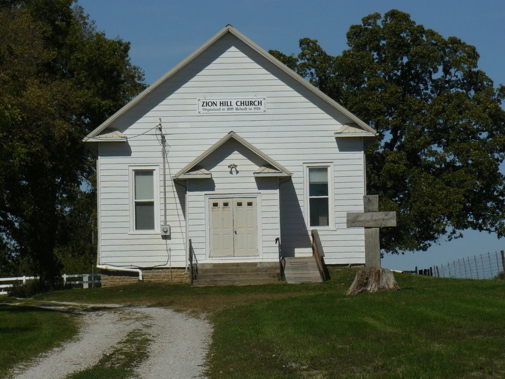
| Description | : | Directions: From Concordia, Lafayette Co, MISSOURI - go approx. 5 miles west on Interstate 70 to Highway 13 - go approx. 5 miles south on Highway 13 to NE State Highway aka Route YY aka County Line between Johnson and Lafayette - go approx. 4 miles east on NE State Highway - just past Zion Hill Road is Zion Hill Church and Cemetery. From Concordia, Lafayette Co, MISSOURI - go south on Highway 23 to Highway CC - go west on Highway CC; it becomes Highway YY. Continue on Highway YY to Zion Hill Methodist Church and cemetery, |
frequently asked questions (FAQ):
-
Where is Zion Hill Cemetery?
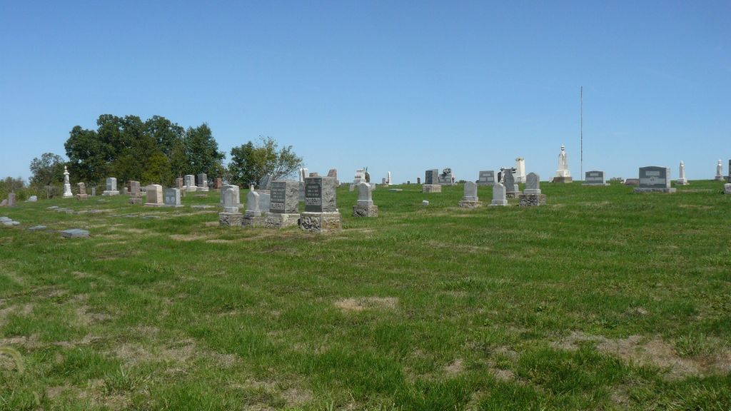
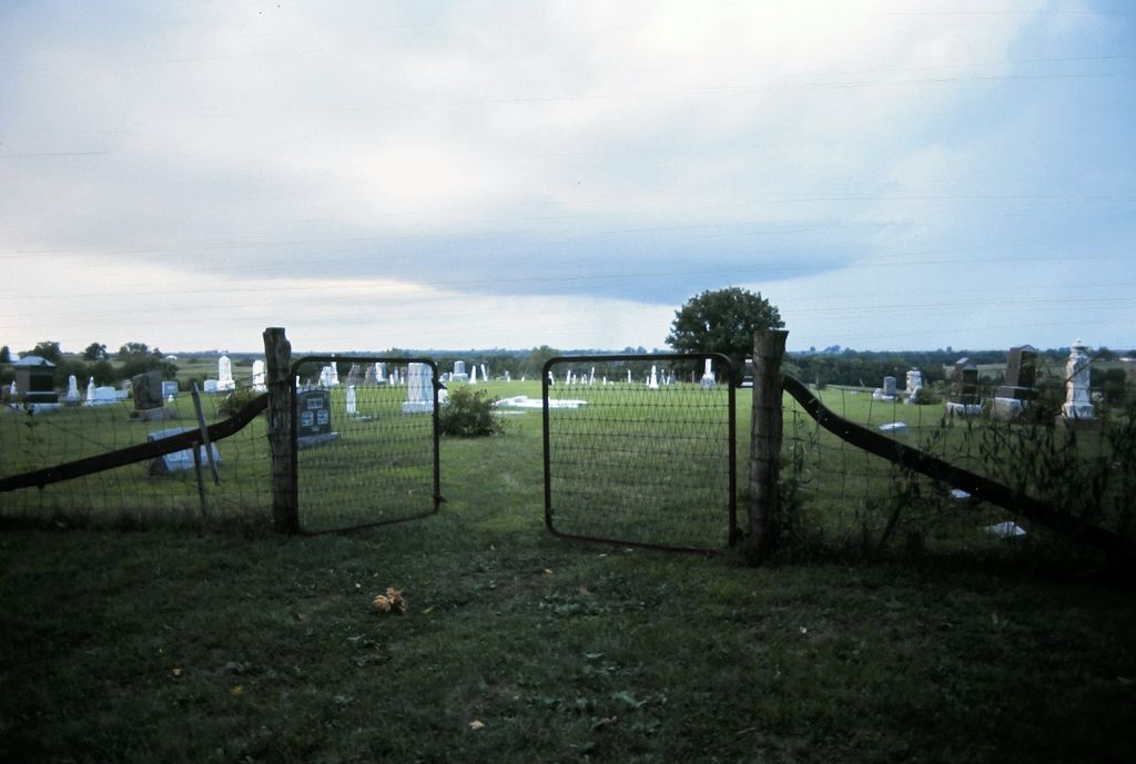
Zion Hill Cemetery is located at Concordia, Lafayette County ,Missouri ,USA.
-
Zion Hill Cemetery cemetery's updated grave count on graveviews.com?
0 memorials
-
Where are the coordinates of the Zion Hill Cemetery?
Latitude: 38.9339013
Longitude: -93.6624380
Nearby Cemetories:
1. Saint Matthews Lutheran Church Cemetery
Ernestville, Lafayette County, USA
Coordinate: 38.9331100, -93.6310800
2. New Hope Cemetery
Lafayette County, USA
Coordinate: 38.9664001, -93.6327972
3. Foster Cemetery
Johnson County, USA
Coordinate: 38.8932991, -93.6647034
4. Oak Grove Cemetery
Johnson County, USA
Coordinate: 38.9275690, -93.7150840
5. Mount Olive Cemetery
Warrensburg, Johnson County, USA
Coordinate: 38.9012000, -93.6961100
6. Major Family Cemetery
Aullville, Lafayette County, USA
Coordinate: 38.9707400, -93.6943400
7. Zoar Methodist Cemetery
Concordia, Lafayette County, USA
Coordinate: 38.9840400, -93.6031600
8. Fair Oak Cemetery
Warrensburg, Johnson County, USA
Coordinate: 38.8561500, -93.6822200
9. Concordia Baptist Cemetery
Concordia, Lafayette County, USA
Coordinate: 38.9641700, -93.5677100
10. Evangelical Cemetery
Concordia, Lafayette County, USA
Coordinate: 38.9641991, -93.5674973
11. Concordia Methodist Cemetery
Concordia, Lafayette County, USA
Coordinate: 38.9647268, -93.5668693
12. Payne Cemetery
Dunksburg, Johnson County, USA
Coordinate: 38.8936005, -93.5541992
13. Saint Pauls Lutheran Cemetery
Concordia, Lafayette County, USA
Coordinate: 38.9896110, -93.5641850
14. Liberty Baptist Cemetery
Warrensburg, Johnson County, USA
Coordinate: 38.8582001, -93.7387009
15. Marshall Cemetery
Warrensburg, Johnson County, USA
Coordinate: 38.8750000, -93.5586014
16. Hobson Cemetery
Johnson County, USA
Coordinate: 38.8659570, -93.7578120
17. McGinness Cemetery
Freedom, Lafayette County, USA
Coordinate: 38.9663900, -93.7945200
18. Rothwell Cemetery
Johnson County, USA
Coordinate: 38.8711010, -93.5410000
19. Wampler Cemetery
Valley City, Johnson County, USA
Coordinate: 38.8286018, -93.5980988
20. Hocker Cemetery
Knob Noster, Johnson County, USA
Coordinate: 38.8567009, -93.5413971
21. Immanuel Lutheran Cemetery
Knob Noster, Johnson County, USA
Coordinate: 38.8275700, -93.5812000
22. Saint John Cemetery
Emma, Lafayette County, USA
Coordinate: 38.9911003, -93.5211029
23. Republican Cemetery
Higginsville, Lafayette County, USA
Coordinate: 39.0586014, -93.6952972
24. Mount Maria Cemetery
Johnson County, USA
Coordinate: 38.8492012, -93.7855988


