| Memorials | : | 19 |
| Location | : | Emma, Lafayette County, USA |
| Coordinate | : | 38.9828987, -93.4947662 |
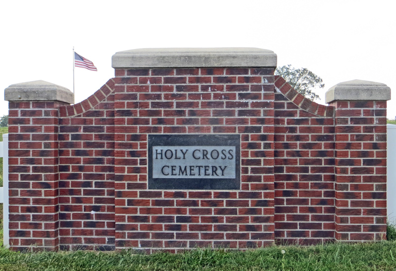
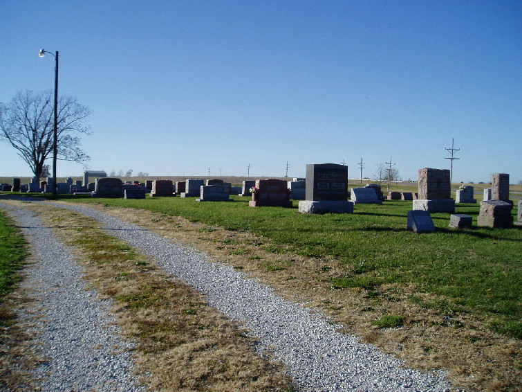
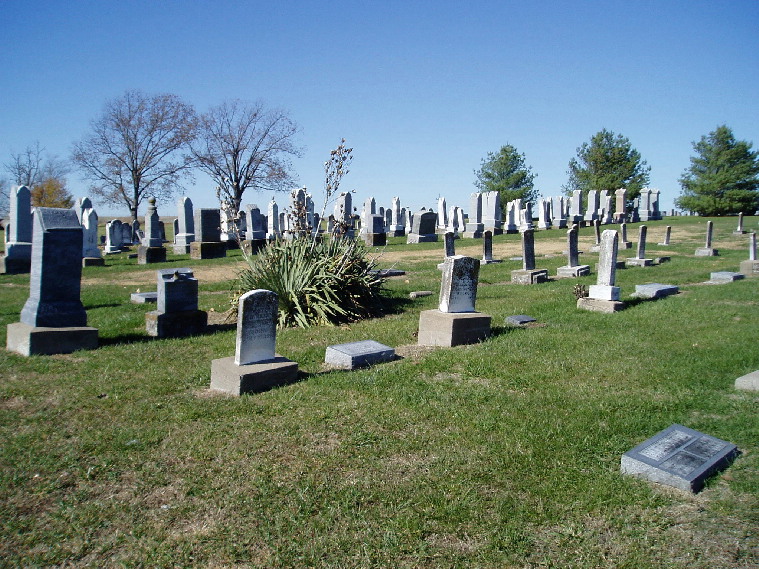
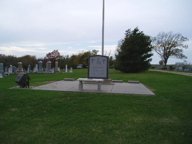
| Description | : | The Holy Cross Cemetery is located in Lafayette County, Missouri just west of the boundary with Saline County. The exit from Interstate Highway 70 here (exit 62) is Highway Y which serves as the boundary between the two counties. The majority of Emma, Missouri is in Saline County however the cemetery is on the west side of the highway placing it in Lafayette County. A monument at the cemetery marks this as the site of the Holy Cross Church from 1890 to 1966. The church has since moved a short distance south of the cemetery. The... Read More |
frequently asked questions (FAQ):
-
Where is Holy Cross Lutheran Cemetery?
Holy Cross Lutheran Cemetery is located at Emma, Lafayette County ,Missouri ,USA.
-
Holy Cross Lutheran Cemetery cemetery's updated grave count on graveviews.com?
6 memorials
-
Where are the coordinates of the Holy Cross Lutheran Cemetery?
Latitude: 38.9828987
Longitude: -93.4947662
Nearby Cemetories:
1. Saint John Cemetery
Emma, Lafayette County, USA
Coordinate: 38.9911003, -93.5211029
2. Poe Cemetery
Sweet Springs, Saline County, USA
Coordinate: 39.0249200, -93.4641600
3. Saint Pauls Lutheran Cemetery
Concordia, Lafayette County, USA
Coordinate: 38.9896110, -93.5641850
4. Concordia Methodist Cemetery
Concordia, Lafayette County, USA
Coordinate: 38.9647268, -93.5668693
5. Evangelical Cemetery
Concordia, Lafayette County, USA
Coordinate: 38.9641991, -93.5674973
6. Concordia Baptist Cemetery
Concordia, Lafayette County, USA
Coordinate: 38.9641700, -93.5677100
7. Fairview Cemetery
Sweet Springs, Saline County, USA
Coordinate: 38.9714012, -93.4135971
8. Saint Peter's Memorial Cemetery
Davis Township, Lafayette County, USA
Coordinate: 39.0451300, -93.5350600
9. Gross Cemetery
Sweet Springs, Saline County, USA
Coordinate: 39.0130997, -93.4085999
10. Pleasant Grove Cemetery
Alma, Lafayette County, USA
Coordinate: 39.0525017, -93.5346985
11. Lynch Cemetery
Sweet Springs, Saline County, USA
Coordinate: 39.0262400, -93.4106200
12. Lewis Family Cemetery
Alma, Lafayette County, USA
Coordinate: 39.0610200, -93.5136300
13. Zoar Methodist Cemetery
Concordia, Lafayette County, USA
Coordinate: 38.9840400, -93.6031600
14. South Fork Cemetery
Pettis County, USA
Coordinate: 38.9169006, -93.4227982
15. Mount Zion Cemetery
Dunksburg, Johnson County, USA
Coordinate: 38.8913900, -93.4975490
16. Blackwater Chapel Cemetery
Houstonia, Pettis County, USA
Coordinate: 38.8908000, -93.4661600
17. Pisgah Cemetery
Saline County, USA
Coordinate: 39.0722250, -93.4419240
18. Oak Grove Cemetery
Sweet Springs, Saline County, USA
Coordinate: 38.9710999, -93.3683014
19. Payne Cemetery
Dunksburg, Johnson County, USA
Coordinate: 38.8936005, -93.5541992
20. Mount Zion Cemetery
Sweet Springs, Saline County, USA
Coordinate: 39.0458860, -93.3821710
21. Gowin Cemetery
Dunksburg, Johnson County, USA
Coordinate: 38.8747550, -93.4994240
22. New Hope Cemetery
Lafayette County, USA
Coordinate: 38.9664001, -93.6327972
23. Salt Pond African Baptist Church Cemetery
Elmwood, Saline County, USA
Coordinate: 39.0636500, -93.3958100
24. Salt Pond Methodist Cemetery
Sweet Springs, Saline County, USA
Coordinate: 39.0662660, -93.3913880


