| Memorials | : | 30 |
| Location | : | Sweet Springs, Saline County, USA |
| Coordinate | : | 38.9714012, -93.4135971 |
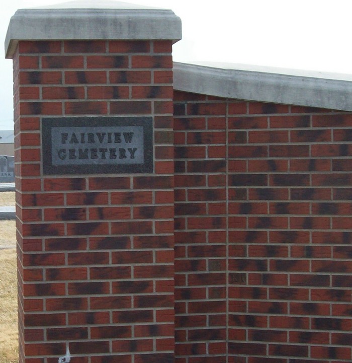
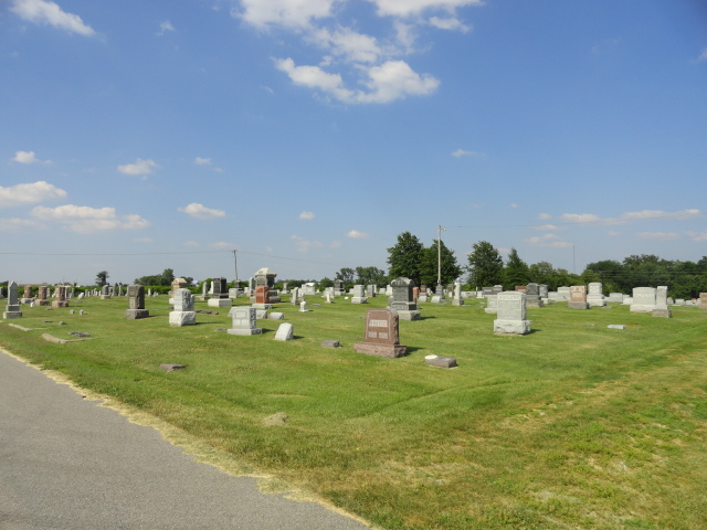
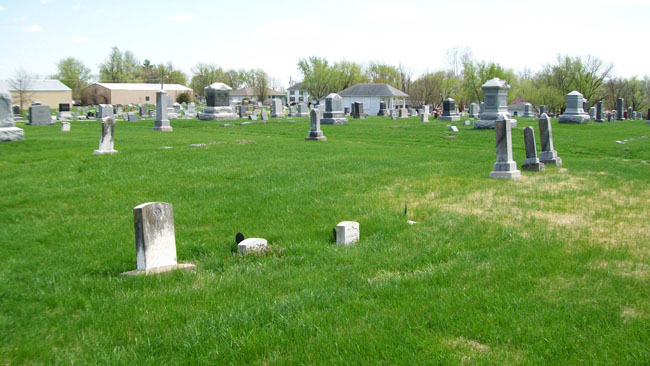
| Description | : | Fairview Cemetery in Sweet Springs, MO is located two blocks south of the intersection of Mo. Highway 127 (North Locust Street) with Highway 40 and Interstate 70. The cemetery borders the east side of Highway 127 (North Locust Street). |
frequently asked questions (FAQ):
-
Where is Fairview Cemetery?
Fairview Cemetery is located at Sweet Springs, Saline County ,Missouri ,USA.
-
Fairview Cemetery cemetery's updated grave count on graveviews.com?
29 memorials
-
Where are the coordinates of the Fairview Cemetery?
Latitude: 38.9714012
Longitude: -93.4135971
Nearby Cemetories:
1. Oak Grove Cemetery
Sweet Springs, Saline County, USA
Coordinate: 38.9710999, -93.3683014
2. Gross Cemetery
Sweet Springs, Saline County, USA
Coordinate: 39.0130997, -93.4085999
3. Lynch Cemetery
Sweet Springs, Saline County, USA
Coordinate: 39.0262400, -93.4106200
4. South Fork Cemetery
Pettis County, USA
Coordinate: 38.9169006, -93.4227982
5. Holy Cross Lutheran Cemetery
Emma, Lafayette County, USA
Coordinate: 38.9828987, -93.4947662
6. Poe Cemetery
Sweet Springs, Saline County, USA
Coordinate: 39.0249200, -93.4641600
7. Rose Valley Methodist Episcopal Cemetery
Sweet Springs, Saline County, USA
Coordinate: 38.9627991, -93.3277969
8. Christ Lutheran Cemetery
Sweet Springs, Saline County, USA
Coordinate: 38.9817970, -93.3272270
9. Mount Zion Cemetery
Sweet Springs, Saline County, USA
Coordinate: 39.0458860, -93.3821710
10. Antioch Cemetery
Saline County, USA
Coordinate: 39.0096510, -93.3205430
11. Bailey Family Cemetery
Cretcher, Saline County, USA
Coordinate: 39.0386000, -93.3465100
12. Saint John Cemetery
Emma, Lafayette County, USA
Coordinate: 38.9911003, -93.5211029
13. Blackwater Chapel Cemetery
Houstonia, Pettis County, USA
Coordinate: 38.8908000, -93.4661600
14. Houstonia Cemetery
Houstonia, Pettis County, USA
Coordinate: 38.8941994, -93.3531036
15. Salt Pond African Baptist Church Cemetery
Elmwood, Saline County, USA
Coordinate: 39.0636500, -93.3958100
16. Salt Pond Methodist Cemetery
Sweet Springs, Saline County, USA
Coordinate: 39.0662660, -93.3913880
17. Providence Cemetery
Saline County, USA
Coordinate: 39.0461006, -93.3221970
18. Pisgah Cemetery
Saline County, USA
Coordinate: 39.0722250, -93.4419240
19. Mount Zion Cemetery
Dunksburg, Johnson County, USA
Coordinate: 38.8913900, -93.4975490
20. Goshen Cemetery
Sweet Springs, Saline County, USA
Coordinate: 39.0656013, -93.3396988
21. Hazel Grove Cemetery
Herndon, Saline County, USA
Coordinate: 39.0079500, -93.2769660
22. Gowin Cemetery
Dunksburg, Johnson County, USA
Coordinate: 38.8747550, -93.4994240
23. Saint Pauls Lutheran Cemetery
Concordia, Lafayette County, USA
Coordinate: 38.9896110, -93.5641850
24. Lewis Family Cemetery
Alma, Lafayette County, USA
Coordinate: 39.0610200, -93.5136300


