
| Memorials | : | 10 |
| Location | : | Cowling, Craven District, England |
| Website | : | www.achurchnearyou.com/church/6864/ |
| Coordinate | : | 53.8836542, -2.0473431 |
frequently asked questions (FAQ):
-
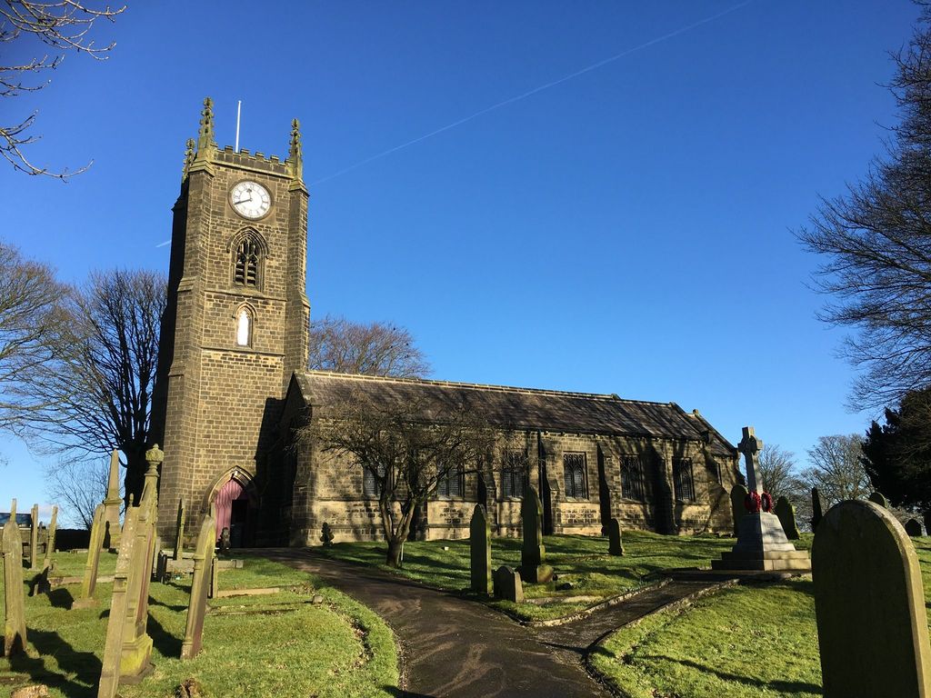
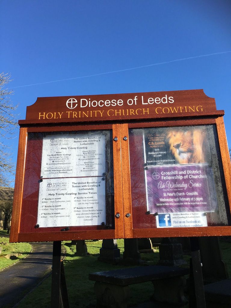
Where is Cowling Holy Trinity Churchyard?
Cowling Holy Trinity Churchyard is located at Gill Lane Cowling, Craven District ,North Yorkshire , BD22 0DDEngland.
-
Cowling Holy Trinity Churchyard cemetery's updated grave count on graveviews.com?
10 memorials
-
Where are the coordinates of the Cowling Holy Trinity Churchyard?
Latitude: 53.8836542
Longitude: -2.0473431
Nearby Cemetories:
1. St Andrew Methodist Cemetery
Cowling, Craven District, England
Coordinate: 53.8830940, -2.0465580
2. Holy Trinity Churchyard
Cowling, Craven District, England
Coordinate: 53.8836930, -2.0502720
3. Holy Trinity Churchyard
Cowling, Craven District, England
Coordinate: 53.8837150, -2.0503150
4. Cowling Hill Baptist Cemetery
Cowling, Craven District, England
Coordinate: 53.8961550, -2.0536900
5. Christ Churchyard
Lothersdale, Craven District, England
Coordinate: 53.9097000, -2.0578600
6. Bethel Chapel Cemetery
Lothersdale, Craven District, England
Coordinate: 53.9102184, -2.0749640
7. St. Thomas's Churchyard
Sutton-in-Craven, Craven District, England
Coordinate: 53.8937020, -1.9906290
8. St. John's Churchyard
Cononley, Craven District, England
Coordinate: 53.9187890, -2.0212930
9. St Andrew Churchyard
Kildwick, Craven District, England
Coordinate: 53.9091560, -1.9839700
10. Bradley Cemetery
Bradleys Both, Craven District, England
Coordinate: 53.9306747, -1.9907120
11. Oakworth Crematorium
Keighley, Metropolitan Borough of Bradford, England
Coordinate: 53.8499320, -1.9661240
12. Laycock Wesleyan Methodist Cemetery
Laycock, Metropolitan Borough of Bradford, England
Coordinate: 53.8651200, -1.9527500
13. St. Stephen Churchyard
Steeton, Metropolitan Borough of Bradford, England
Coordinate: 53.8968600, -1.9499600
14. New Lane Inghamite Cemetery
Winewall, Pendle Borough, England
Coordinate: 53.8548000, -2.1367150
15. Christ Church Churchyard
Colne, Pendle Borough, England
Coordinate: 53.8602110, -2.1415670
16. St Mary the Virgin Churchyard
Carleton, Craven District, England
Coordinate: 53.9442300, -2.0417800
17. Slack Lane Baptist Cemetery
Oakworth, Metropolitan Borough of Bradford, England
Coordinate: 53.8527400, -1.9568800
18. St Mary's Churchyard
Kelbrook, Pendle Borough, England
Coordinate: 53.8991000, -2.1494100
19. Earby Cemetery
Earby, Pendle Borough, England
Coordinate: 53.9189987, -2.1370001
20. Main Street Friends Burial Ground at Stanbury
Keighley, Metropolitan Borough of Bradford, England
Coordinate: 53.8294690, -1.9891640
21. Trawden Wesley Chapel Graveyard
Trawden Forest, Pendle Borough, England
Coordinate: 53.8459885, -2.1355791
22. Christ Church Churchyard
Oakworth, Metropolitan Borough of Bradford, England
Coordinate: 53.8459200, -1.9549100
23. St. Mary the Virgin Churchyard
Trawden Forest, Pendle Borough, England
Coordinate: 53.8431010, -2.1366050
24. Waltonwrays Cemetery and Skipton Crematorium
Skipton, Craven District, England
Coordinate: 53.9505500, -2.0272300