
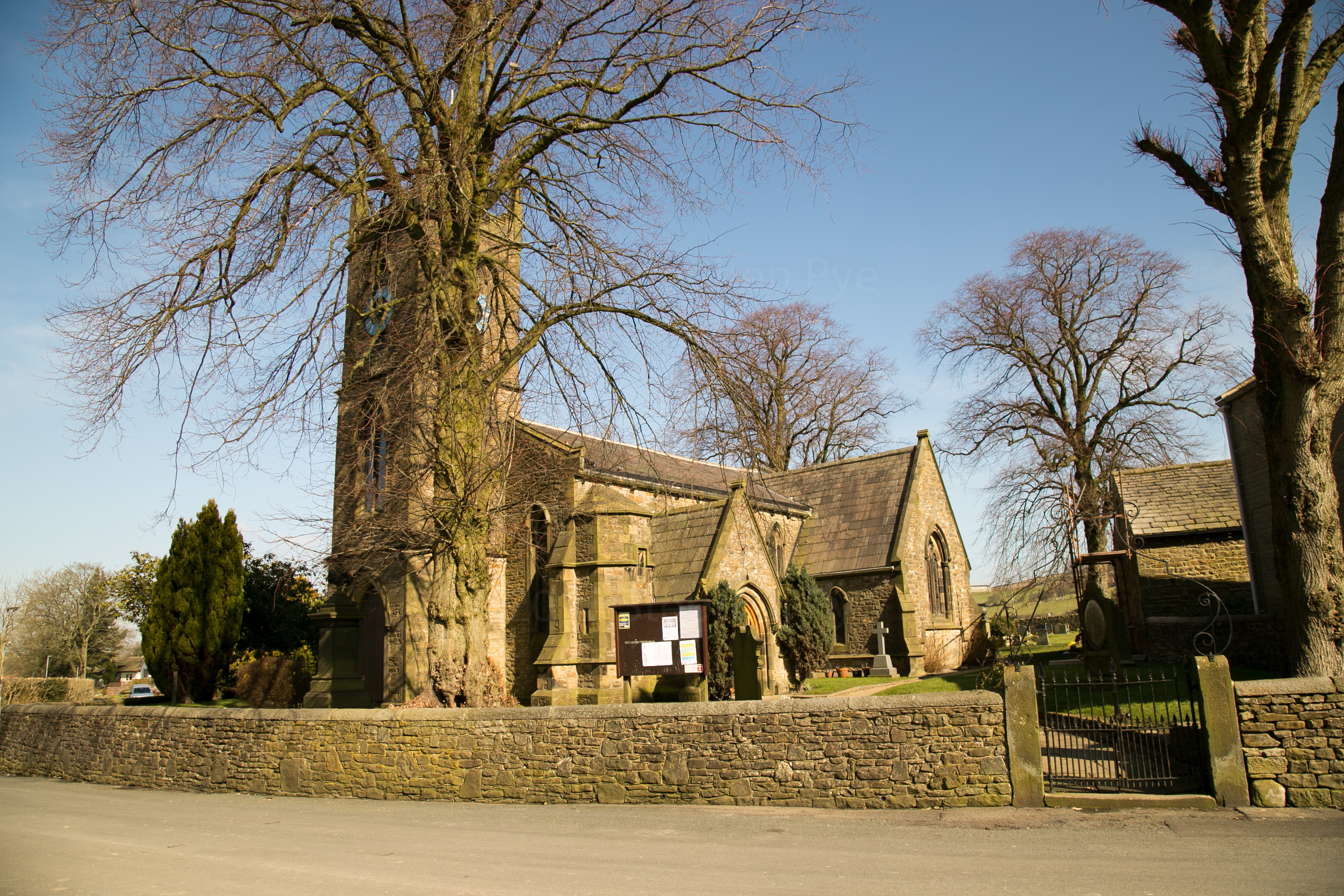
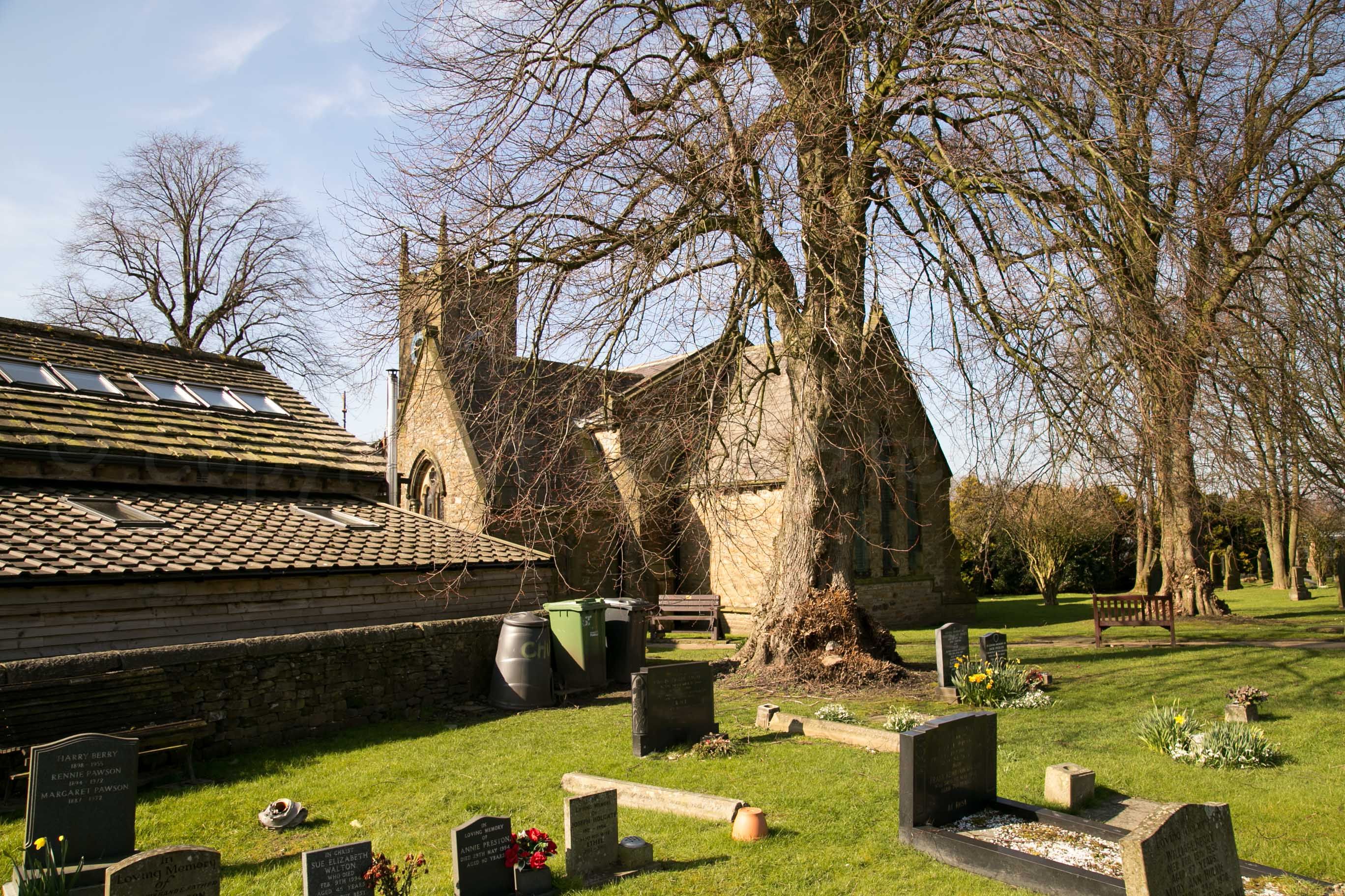
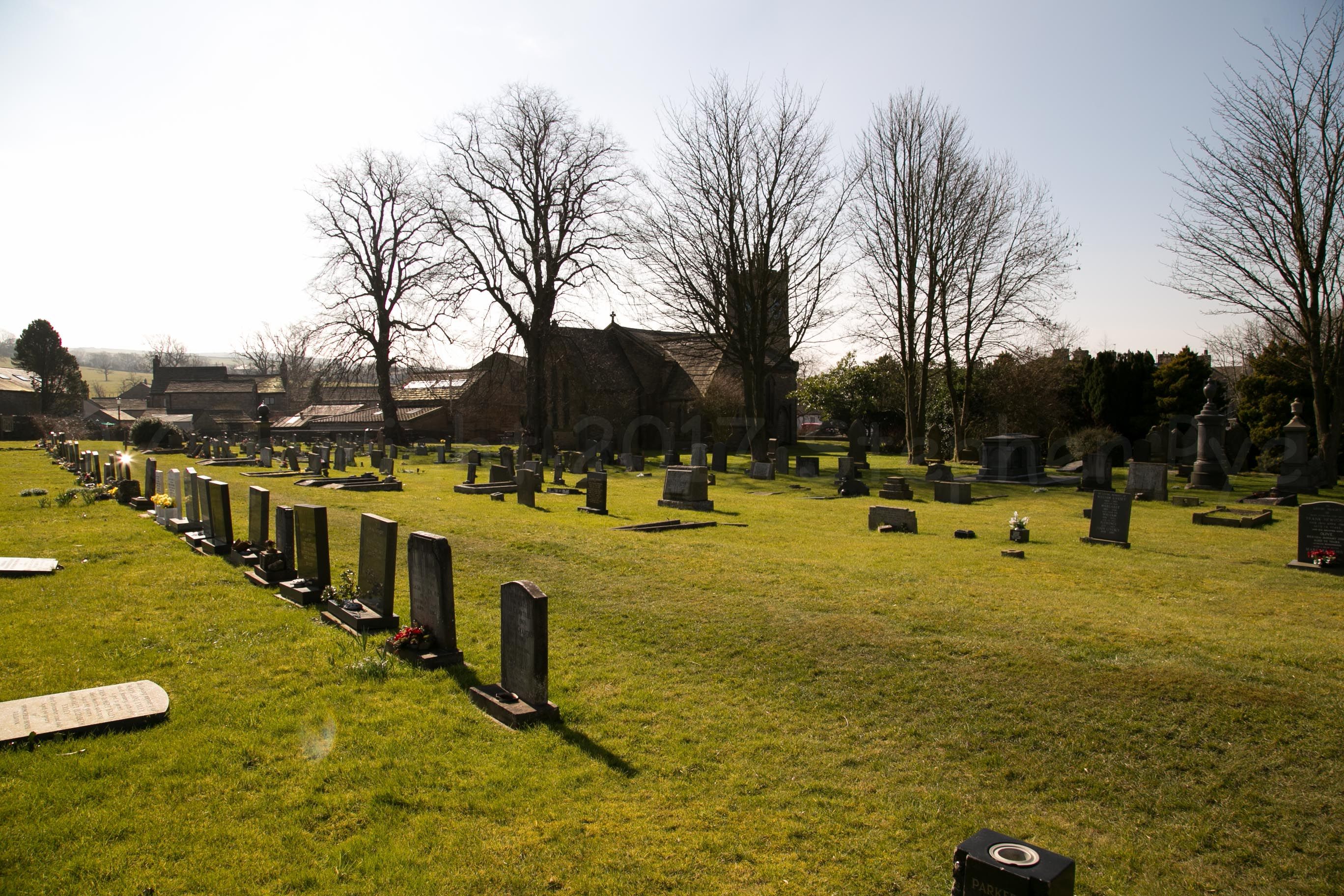
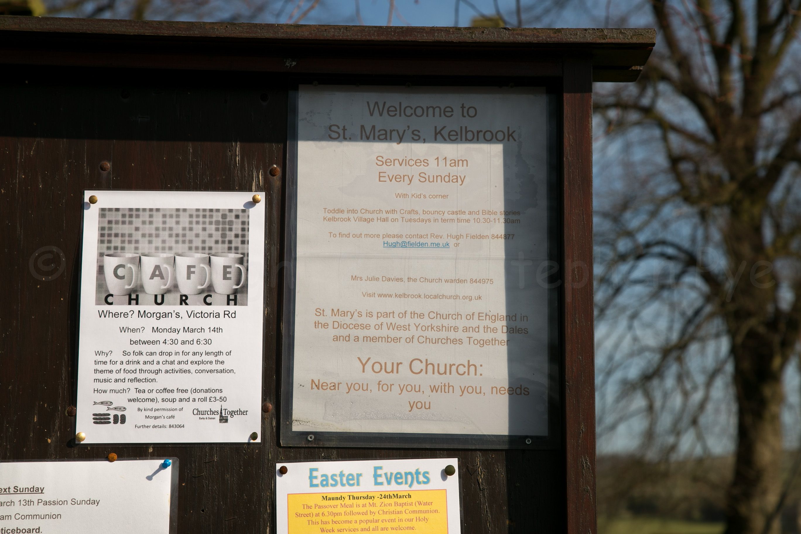
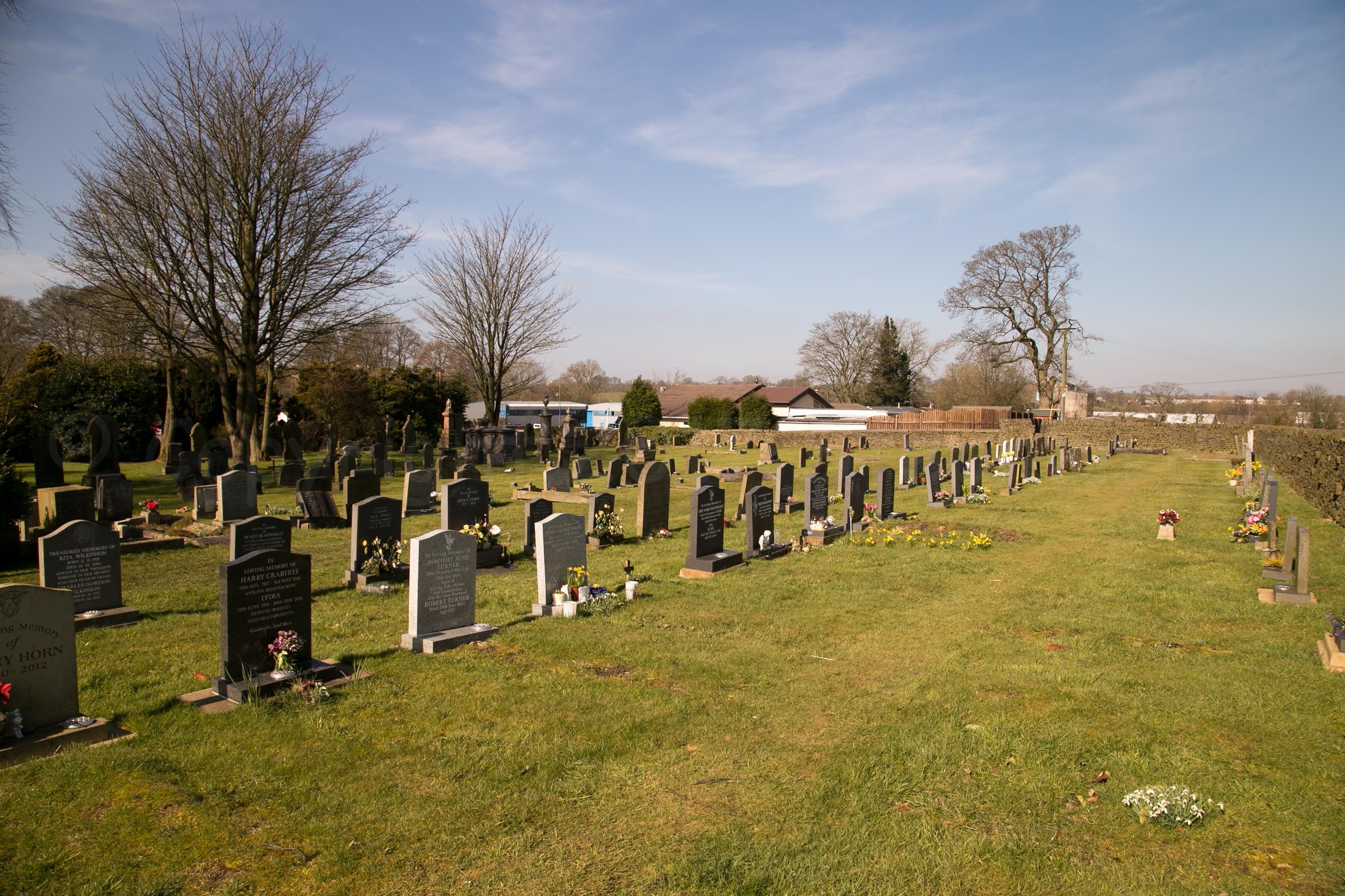
| Memorials | : | 25 |
| Location | : | Kelbrook, Pendle Borough, England |
| Coordinate | : | 53.8991000, -2.1494100 |
frequently asked questions (FAQ):
-
Where is St Mary's Churchyard?
St Mary's Churchyard is located at Kelbrook, Pendle Borough ,Lancashire ,England.
-
St Mary's Churchyard cemetery's updated grave count on graveviews.com?
25 memorials
-
Where are the coordinates of the St Mary's Churchyard?
Latitude: 53.8991000
Longitude: -2.1494100
Nearby Cemetories:
1. Salterforth Cemetery
Salterforth, Pendle Borough, England
Coordinate: 53.9123170, -2.1654010
2. Earby Cemetery
Earby, Pendle Borough, England
Coordinate: 53.9189987, -2.1370001
3. Friends Burial Ground
Foulridge, Pendle Borough, England
Coordinate: 53.8769360, -2.1669040
4. St. Michael's Churchyard
Foulridge, Pendle Borough, England
Coordinate: 53.8734569, -2.1693508
5. Ghyll Cemetery
Barnoldswick, Pendle Borough, England
Coordinate: 53.9271100, -2.1646700
6. Saint Mary-le-Ghyll
Barnoldswick, Pendle Borough, England
Coordinate: 53.9279505, -2.1647004
7. St Mary the Virgin Churchyard
Thornton-in-Craven, Craven District, England
Coordinate: 53.9311350, -2.1513350
8. Christ Church Churchyard
Colne, Pendle Borough, England
Coordinate: 53.8602110, -2.1415670
9. Colne Cemetery
Colne, Pendle Borough, England
Coordinate: 53.8577420, -2.1585350
10. St. Bartholomew Churchyard
Colne, Pendle Borough, England
Coordinate: 53.8570600, -2.1700470
11. West Street Inghamite Chapel Chapelyard
Colne, Pendle Borough, England
Coordinate: 53.8555930, -2.1672140
12. New Lane Inghamite Cemetery
Winewall, Pendle Borough, England
Coordinate: 53.8548000, -2.1367150
13. Bethel Chapel Cemetery
Lothersdale, Craven District, England
Coordinate: 53.9102184, -2.0749640
14. Saint Michael's Church
Bracewell, Pendle Borough, England
Coordinate: 53.9322400, -2.2099730
15. St. Peter's Churchyard
Martons Both, Craven District, England
Coordinate: 53.9522064, -2.1413111
16. St Peter Church
Martons Both, Craven District, England
Coordinate: 53.9522630, -2.1415720
17. Trawden Wesley Chapel Graveyard
Trawden Forest, Pendle Borough, England
Coordinate: 53.8459885, -2.1355791
18. Christ Churchyard
Lothersdale, Craven District, England
Coordinate: 53.9097000, -2.0578600
19. Cowling Hill Baptist Cemetery
Cowling, Craven District, England
Coordinate: 53.8961550, -2.0536900
20. St. Mary the Virgin Churchyard
Trawden Forest, Pendle Borough, England
Coordinate: 53.8431010, -2.1366050
21. All Saints Churchyard
Broughton, Craven District, England
Coordinate: 53.9492880, -2.1019580
22. Barrowford Cemetery
Nelson, Pendle Borough, England
Coordinate: 53.8521100, -2.2130300
23. Holy Trinity Churchyard
Cowling, Craven District, England
Coordinate: 53.8837150, -2.0503150
24. Holy Trinity Churchyard
Cowling, Craven District, England
Coordinate: 53.8836930, -2.0502720