
| Memorials | : | 1 |
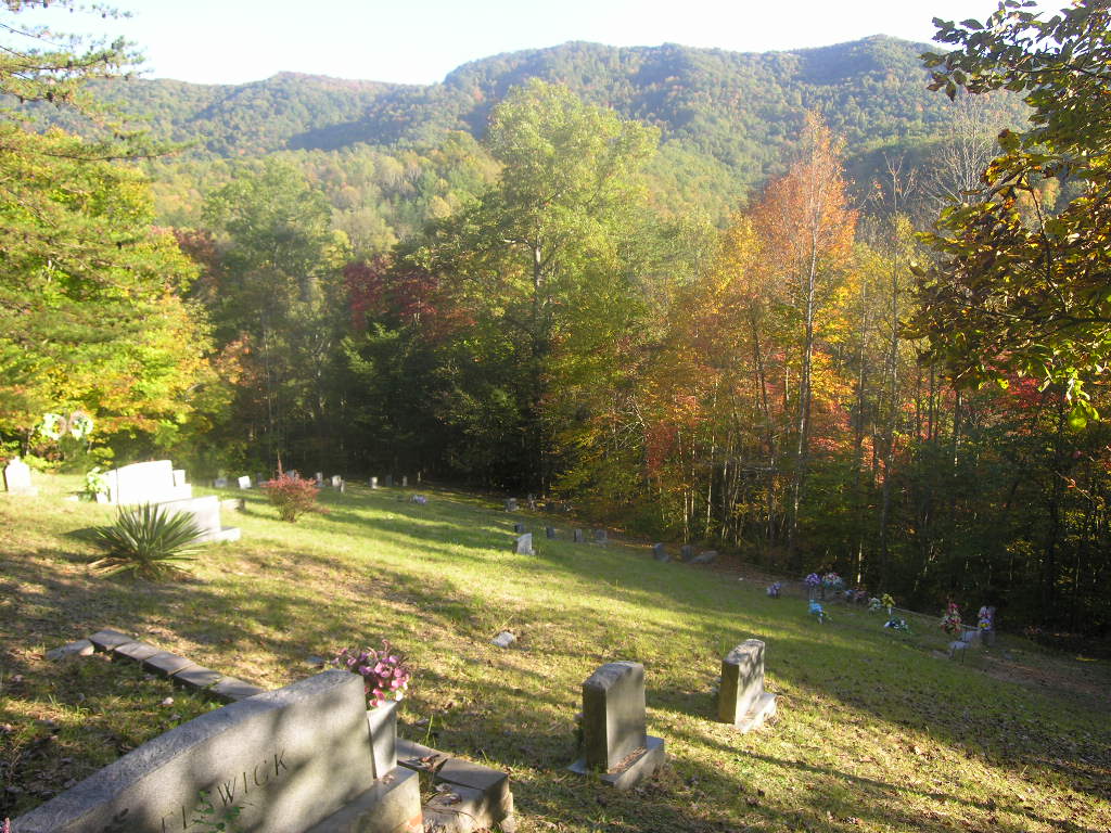
| Location | : | Mayking, Letcher County, USA |
| Coordinate | : | 37.1164790, -82.7706700 |
| Description | : | Directions to cemetery: On Hwy. 119 south of Whitesburg, turn right at Mayking Fire Station. This is a blacktop road known as Hwy. 1862 or Pine Creek Road. Take Hwy. 1862 to Hwy. 3410 aka Cram Creek Road. (turn right at all forks) At Cram Creek Pentacostal church take right fork on Great Oak Rd. Great Oak road will lead to Fugate cemetery on the right. IMMEDIATELY past Fugate cemetery take the small gravel lane leading up the mountain above Fugate. In about 400 yards it deadends at Cram Creek cemetery. |
frequently asked questions (FAQ):
-
Where is Cram Creek Cemetery?
Cram Creek Cemetery is located at Mayking, Letcher County ,Kentucky ,USA.
-
Cram Creek Cemetery cemetery's updated grave count on graveviews.com?
0 memorials
-
Where are the coordinates of the Cram Creek Cemetery?
Latitude: 37.1164790
Longitude: -82.7706700

Nearby Cemetories:
1. Fugate Cemetery
Mayking, Letcher County, USA
Coordinate: 37.1159000, -82.7703770
2. Hall Cemetery
Mayking, Letcher County, USA
Coordinate: 37.1225880, -82.7797270
3. Webb Cemetery
Mayking, Letcher County, USA
Coordinate: 37.1314300, -82.7652510
4. Collins Cemetery
Mayking, Letcher County, USA
Coordinate: 37.1348720, -82.7682810
5. Colson Cemetery
Colson, Letcher County, USA
Coordinate: 37.1228790, -82.7483495
6. Combs Cemetery
Ermine, Letcher County, USA
Coordinate: 37.1193620, -82.7948360
7. Green Acres Cemetery
Ermine, Letcher County, USA
Coordinate: 37.1176987, -82.7956009
8. Day Cemetery
Ermine, Letcher County, USA
Coordinate: 37.1123100, -82.7967900
9. Holbrook Cemetery
Mayking, Letcher County, USA
Coordinate: 37.1372250, -82.7611660
10. Haven of Rest Cemetery
Mayking, Letcher County, USA
Coordinate: 37.1372090, -82.7611020
11. Craft's Colly Cemetery
Ermine, Letcher County, USA
Coordinate: 37.1280240, -82.7950290
12. Adams Cemetery
Isom, Letcher County, USA
Coordinate: 37.1369019, -82.7944031
13. Melvin Adams Cemetery
Ermine, Letcher County, USA
Coordinate: 37.1370000, -82.7944000
14. Adams and Franklin Cemetery
Letcher County, USA
Coordinate: 37.1469370, -82.7940920
15. Caudill Cemetery
Dongola, Letcher County, USA
Coordinate: 37.0919620, -82.8045430
16. Hop Gibson Cemetery
Letcher County, USA
Coordinate: 37.0896190, -82.8163350
17. Mullins Family Cemetery
Eolia, Letcher County, USA
Coordinate: 37.0713400, -82.7839220
18. Fields Cemetery
Dongola, Letcher County, USA
Coordinate: 37.0932270, -82.8220650
19. Webb Cemetery
Millstone, Letcher County, USA
Coordinate: 37.1671330, -82.7504380
20. Mullins Cemetery
Eolia, Letcher County, USA
Coordinate: 37.0705040, -82.7332570
21. Maggard Cemetery
Eolia, Letcher County, USA
Coordinate: 37.0634600, -82.7956650
22. Beyrl Boggs Cemetery
Eolia, Letcher County, USA
Coordinate: 37.0595500, -82.7774500
23. Joel Sturgill Cemetery
Eolia, Letcher County, USA
Coordinate: 37.0589981, -82.7770004
24. Adams Cemetery
Eolia, Letcher County, USA
Coordinate: 37.0656013, -82.7288971