
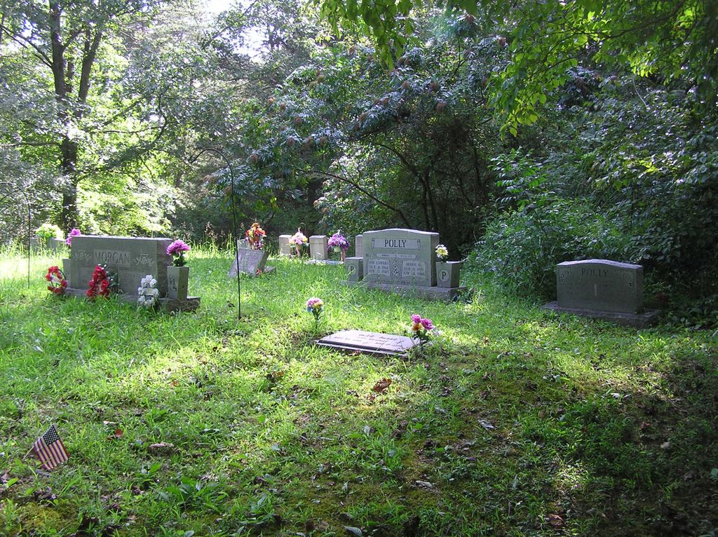
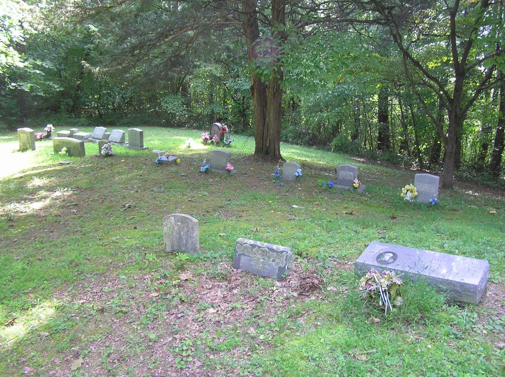
| Memorials | : | 0 |
| Location | : | Ermine, Letcher County, USA |
| Coordinate | : | 37.1123100, -82.7967900 |
| Description | : | Directions: From Pine Mountain Junction, east of Whitesburg at the intersection of Highways 119 and 15, go north on Highway 119 for about 0.4 miles and turn right onto the gravel/dirt road leading up the hill to the cemetery which is about 1/4 mile up the road. |
frequently asked questions (FAQ):
-
Where is Day Cemetery?
Day Cemetery is located at Ermine, Letcher County ,Kentucky ,USA.
-
Day Cemetery cemetery's updated grave count on graveviews.com?
0 memorials
-
Where are the coordinates of the Day Cemetery?
Latitude: 37.1123100
Longitude: -82.7967900
Nearby Cemetories:
1. Green Acres Cemetery
Ermine, Letcher County, USA
Coordinate: 37.1176987, -82.7956009
2. Combs Cemetery
Ermine, Letcher County, USA
Coordinate: 37.1193620, -82.7948360
3. Craft's Colly Cemetery
Ermine, Letcher County, USA
Coordinate: 37.1280240, -82.7950290
4. Hall Cemetery
Mayking, Letcher County, USA
Coordinate: 37.1225880, -82.7797270
5. Cram Creek Cemetery
Mayking, Letcher County, USA
Coordinate: 37.1164790, -82.7706700
6. Caudill Cemetery
Dongola, Letcher County, USA
Coordinate: 37.0919620, -82.8045430
7. Fugate Cemetery
Mayking, Letcher County, USA
Coordinate: 37.1159000, -82.7703770
8. Adams Cemetery
Isom, Letcher County, USA
Coordinate: 37.1369019, -82.7944031
9. Melvin Adams Cemetery
Ermine, Letcher County, USA
Coordinate: 37.1370000, -82.7944000
10. Hop Gibson Cemetery
Letcher County, USA
Coordinate: 37.0896190, -82.8163350
11. Fields Cemetery
Dongola, Letcher County, USA
Coordinate: 37.0932270, -82.8220650
12. Webb Cemetery
Mayking, Letcher County, USA
Coordinate: 37.1314300, -82.7652510
13. Collins Cemetery
Mayking, Letcher County, USA
Coordinate: 37.1348720, -82.7682810
14. Adams and Franklin Cemetery
Letcher County, USA
Coordinate: 37.1469370, -82.7940920
15. Holbrook Cemetery
Mayking, Letcher County, USA
Coordinate: 37.1372250, -82.7611660
16. Haven of Rest Cemetery
Mayking, Letcher County, USA
Coordinate: 37.1372090, -82.7611020
17. Colson Cemetery
Colson, Letcher County, USA
Coordinate: 37.1228790, -82.7483495
18. Cowan Creek Cemetery
Letcher County, USA
Coordinate: 37.0916800, -82.8408700
19. Mullins Family Cemetery
Eolia, Letcher County, USA
Coordinate: 37.0713400, -82.7839220
20. Dinah Blair Branch Cemetery
Letcher County, USA
Coordinate: 37.0733140, -82.8314320
21. Maggard Cemetery
Eolia, Letcher County, USA
Coordinate: 37.0634600, -82.7956650
22. Beyrl Boggs Cemetery
Eolia, Letcher County, USA
Coordinate: 37.0595500, -82.7774500
23. Joel Sturgill Cemetery
Eolia, Letcher County, USA
Coordinate: 37.0589981, -82.7770004
24. Peaceful Hills Cemetery
Ice, Letcher County, USA
Coordinate: 37.1143890, -82.8666670