
| Memorials | : | 0 |
| Location | : | Jefferson County, USA |
| Coordinate | : | 33.7596817, -86.7521439 |
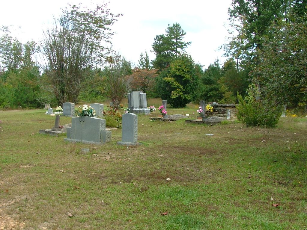
| Description | : | The Creel Family Cemetery is located off of Creel Road (AKA Jeff Co Road 146) in Jefferson County, Alabama in a small cleared area to the east of the town of Morris. in the Columbus area, east of the railroad tracks and Hagood Road. The cemetery appears to be well taken care of by family members. |
frequently asked questions (FAQ):
-
Where is Creel Family Cemetery?
Creel Family Cemetery is located at Jefferson County ,Alabama ,USA.
-
Creel Family Cemetery cemetery's updated grave count on graveviews.com?
0 memorials
-
Where are the coordinates of the Creel Family Cemetery?
Latitude: 33.7596817
Longitude: -86.7521439

Nearby Cemetories:
1. Liberty-Minter Cemetery
Morris, Jefferson County, USA
Coordinate: 33.7680016, -86.7645035
2. Hughes Cemetery
Jefferson County, USA
Coordinate: 33.7528000, -86.7313995
3. Haig-Rogers Cemetery
Morris, Jefferson County, USA
Coordinate: 33.7469220, -86.7735320
4. McCombs-Donegan Cemetery
Bradford, Jefferson County, USA
Coordinate: 33.7520422, -86.7075942
5. Jefferson County Cemetery
Morris, Jefferson County, USA
Coordinate: 33.7405720, -86.7931660
6. Providence Methodist Church Cemetery
Pinson, Jefferson County, USA
Coordinate: 33.7211990, -86.7354965
7. Glennwood Baptist Church Cemetery
Morris, Jefferson County, USA
Coordinate: 33.7159004, -86.7632980
8. Oak Grove Baptist Church Cemetery
Pinson, Jefferson County, USA
Coordinate: 33.7197390, -86.7237230
9. Morris Cemetery
Morris, Jefferson County, USA
Coordinate: 33.7569008, -86.8091965
10. Mount Zion Church Cemetery
Kimberly, Jefferson County, USA
Coordinate: 33.7737970, -86.8084930
11. Gill Family Cemetery
Morris, Jefferson County, USA
Coordinate: 33.7416770, -86.8115340
12. Hopewell Baptist Cemetery
Pinson, Jefferson County, USA
Coordinate: 33.7676010, -86.6817017
13. Turkey Creek Missionary Baptist Church Cemetery
Pinson, Jefferson County, USA
Coordinate: 33.7089958, -86.7111588
14. Castle Heights Memorial Gardens
Jefferson County, USA
Coordinate: 33.6985054, -86.7613297
15. Masseyline Church of God Cemetery
Pinson, Jefferson County, USA
Coordinate: 33.7915764, -86.6854782
16. County Line Baptist Church Cemetery
County Line, Blount County, USA
Coordinate: 33.8208008, -86.7197037
17. Holston Chapel United Methodist Church Cemetery
County Line, Blount County, USA
Coordinate: 33.8247100, -86.7231900
18. Vandiver Cemetery
County Line, Blount County, USA
Coordinate: 33.8224983, -86.7099991
19. Love Chapel Cemetery
Blount County, USA
Coordinate: 33.8210650, -86.7016180
20. Friendship United Methodist Church Cemetery
Gardendale, Jefferson County, USA
Coordinate: 33.7150002, -86.8249969
21. Hanby Cemetery
Pinson, Jefferson County, USA
Coordinate: 33.7018893, -86.6930818
22. Edwards Cemetery
Jefferson County, USA
Coordinate: 33.6941986, -86.8116989
23. Cole-Johnson Cemetery
Pinson, Jefferson County, USA
Coordinate: 33.6929950, -86.6864420
24. Elvester Cemetery
Blount County, USA
Coordinate: 33.8446999, -86.7696991