
| Memorials | : | 1 |
| Location | : | Morris, Jefferson County, USA |
| Coordinate | : | 33.7680016, -86.7645035 |
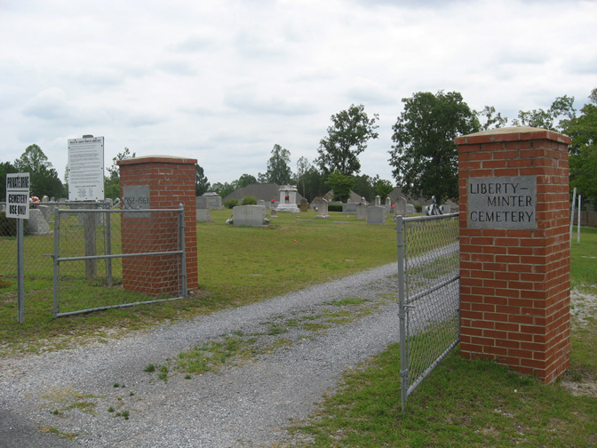
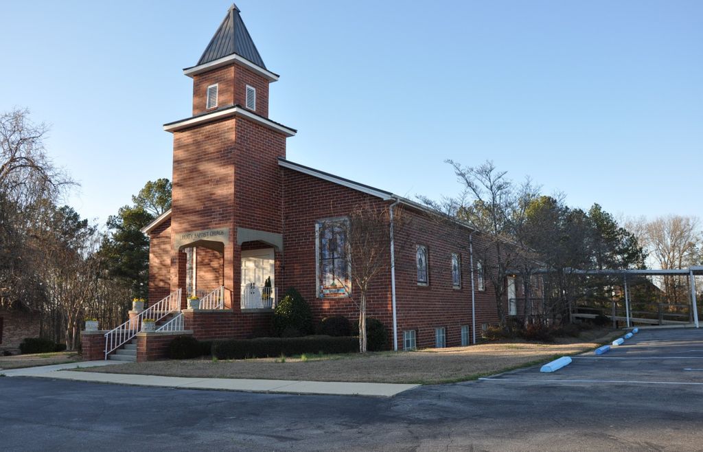
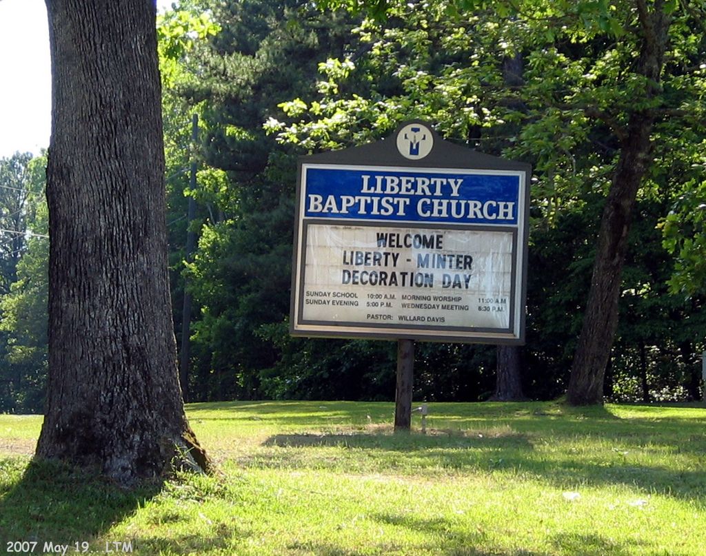
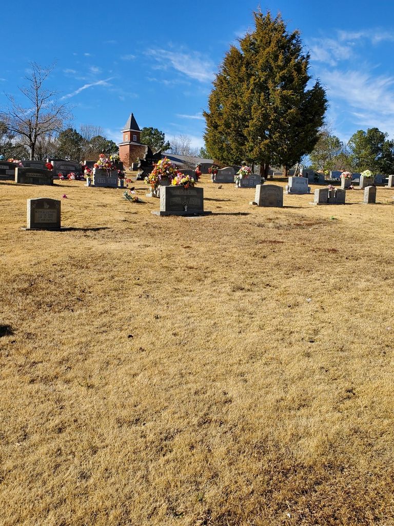
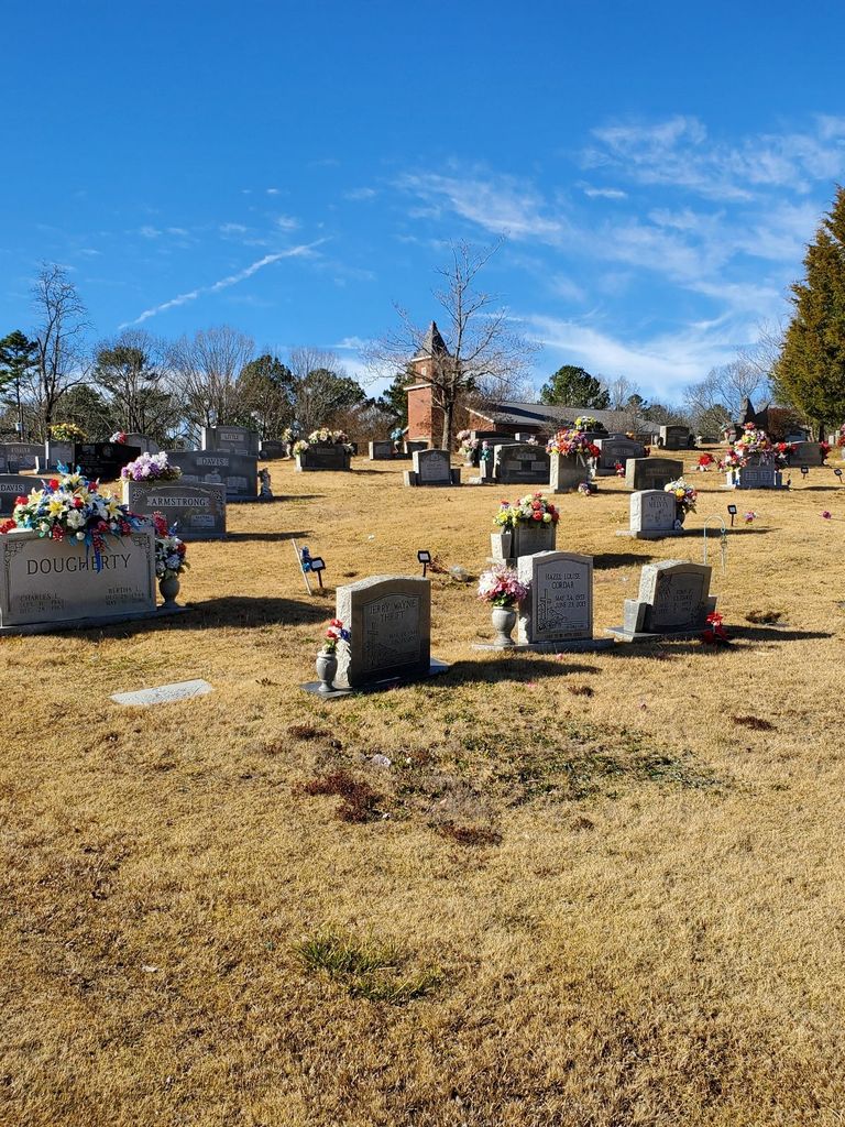
| Description | : | It is adjacent to, but not directly affiliated with the Liberty Baptist Church. It is a current cemetery that still has vacant plots. The oldest graves date to the mid 1850's. The cemetery has a road circling it, with intersecting crossroads that divides the cemetery into 4 sections. |
frequently asked questions (FAQ):
-
Where is Liberty-Minter Cemetery?
Liberty-Minter Cemetery is located at Self Creek Road Morris, Jefferson County ,Alabama ,USA.
-
Liberty-Minter Cemetery cemetery's updated grave count on graveviews.com?
1 memorials
-
Where are the coordinates of the Liberty-Minter Cemetery?
Latitude: 33.7680016
Longitude: -86.7645035

Nearby Cemetories:
1. Creel Family Cemetery
Jefferson County, USA
Coordinate: 33.7596817, -86.7521439
2. Haig-Rogers Cemetery
Morris, Jefferson County, USA
Coordinate: 33.7469220, -86.7735320
3. Hughes Cemetery
Jefferson County, USA
Coordinate: 33.7528000, -86.7313995
4. Jefferson County Cemetery
Morris, Jefferson County, USA
Coordinate: 33.7405720, -86.7931660
5. Mount Zion Church Cemetery
Kimberly, Jefferson County, USA
Coordinate: 33.7737970, -86.8084930
6. Morris Cemetery
Morris, Jefferson County, USA
Coordinate: 33.7569008, -86.8091965
7. Gill Family Cemetery
Morris, Jefferson County, USA
Coordinate: 33.7416770, -86.8115340
8. McCombs-Donegan Cemetery
Bradford, Jefferson County, USA
Coordinate: 33.7520422, -86.7075942
9. Glennwood Baptist Church Cemetery
Morris, Jefferson County, USA
Coordinate: 33.7159004, -86.7632980
10. Providence Methodist Church Cemetery
Pinson, Jefferson County, USA
Coordinate: 33.7211990, -86.7354965
11. Oak Grove Baptist Church Cemetery
Pinson, Jefferson County, USA
Coordinate: 33.7197390, -86.7237230
12. County Line Baptist Church Cemetery
County Line, Blount County, USA
Coordinate: 33.8208008, -86.7197037
13. Holston Chapel United Methodist Church Cemetery
County Line, Blount County, USA
Coordinate: 33.8247100, -86.7231900
14. Hopewell Baptist Cemetery
Pinson, Jefferson County, USA
Coordinate: 33.7676010, -86.6817017
15. Castle Heights Memorial Gardens
Jefferson County, USA
Coordinate: 33.6985054, -86.7613297
16. Masseyline Church of God Cemetery
Pinson, Jefferson County, USA
Coordinate: 33.7915764, -86.6854782
17. Vandiver Cemetery
County Line, Blount County, USA
Coordinate: 33.8224983, -86.7099991
18. Friendship United Methodist Church Cemetery
Gardendale, Jefferson County, USA
Coordinate: 33.7150002, -86.8249969
19. Turkey Creek Missionary Baptist Church Cemetery
Pinson, Jefferson County, USA
Coordinate: 33.7089958, -86.7111588
20. Love Chapel Cemetery
Blount County, USA
Coordinate: 33.8210650, -86.7016180
21. Elvester Cemetery
Blount County, USA
Coordinate: 33.8446999, -86.7696991
22. Edwards Cemetery
Jefferson County, USA
Coordinate: 33.6941986, -86.8116989
23. Hanby Cemetery
Pinson, Jefferson County, USA
Coordinate: 33.7018893, -86.6930818
24. John Belcher Cemetery
Gardendale, Jefferson County, USA
Coordinate: 33.6874100, -86.8176000