
| Memorials | : | 1 |
| Location | : | Lemont, Centre County, USA |
| Coordinate | : | 40.8070000, -77.8100000 |
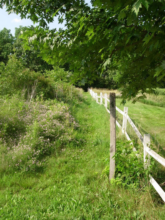
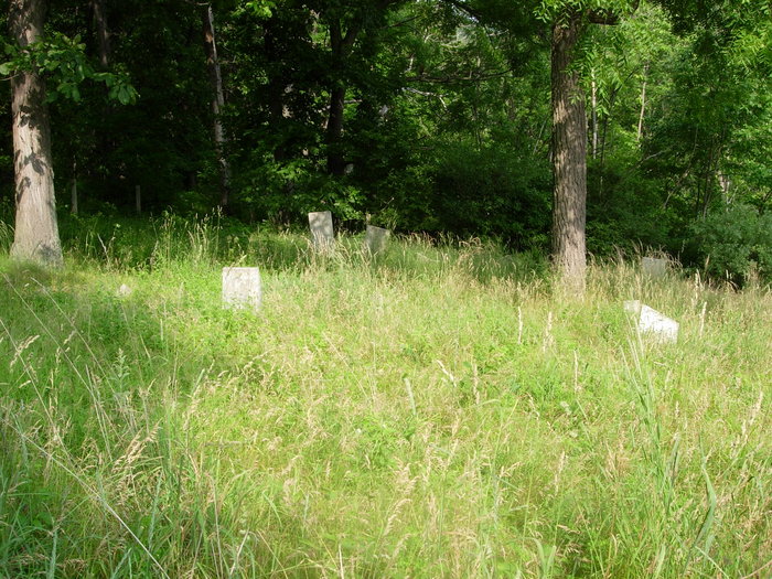
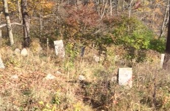
| Description | : | Directions: Going east from State College on PA Rt. 26 (College Ave), proceed to the traffic light at the intersection with Elmwood Street. Turn right on Elmwood (toward Lemont) and go approximately 0.7 miles to the traffic light at the intersection of Elwood and Branch Road (the center of Lemont). Proceed through the traffic light. Elmwood becomes Boalsburg Road. Go Straight ahead 0.05 miles on Boalsburg Road and turn left on Whitehill Street. Go 0.4 miles on Whitehill Street. The cemetery will be on your left on the hillside about 150 feet from the road. History... Read More |
frequently asked questions (FAQ):
-
Where is Dale Cemetery?
Dale Cemetery is located at Lemont, Centre County ,Pennsylvania ,USA.
-
Dale Cemetery cemetery's updated grave count on graveviews.com?
1 memorials
-
Where are the coordinates of the Dale Cemetery?
Latitude: 40.8070000
Longitude: -77.8100000
Nearby Cemetories:
1. Spring Creek Presbyterian Cemetery
State College, Centre County, USA
Coordinate: 40.7975006, -77.8349991
2. Houserville Cemetery
Houserville, Centre County, USA
Coordinate: 40.8264999, -77.8304977
3. Columbus Chapel - Boal Family Vault
Boalsburg, Centre County, USA
Coordinate: 40.7789900, -77.7993130
4. Shiloh Cemetery
Centre County, USA
Coordinate: 40.8365000, -77.8011000
5. Boalsburg Cemetery
Boalsburg, Centre County, USA
Coordinate: 40.7787000, -77.7952000
6. Centre County Memorial Park
State College, Centre County, USA
Coordinate: 40.8377991, -77.7983017
7. Grace Lutheran Church Columbarium
State College, Centre County, USA
Coordinate: 40.7969950, -77.8547510
8. Rock Hill Cemetery
Linden Hall, Centre County, USA
Coordinate: 40.8001000, -77.7627000
9. Saint Andrew's Episcopal Church Columbarium
State College, Centre County, USA
Coordinate: 40.7907300, -77.8598700
10. State College Presbyterian Church Columbarium
Centre County, USA
Coordinate: 40.7925140, -77.8610750
11. Atherton Burial Site
State College, Centre County, USA
Coordinate: 40.7966780, -77.8638390
12. Benner Cemetery
Centre County, USA
Coordinate: 40.8525009, -77.8182983
13. Cedar Creek Cemetery
Harris Township, Centre County, USA
Coordinate: 40.7900000, -77.7414110
14. Pine Hall Cemetery
State College, Centre County, USA
Coordinate: 40.7779000, -77.8841000
15. Old Pine Hall Cemetery
State College, Centre County, USA
Coordinate: 40.7743000, -77.8885000
16. Meyer Cemetery
Buffalo Run, Centre County, USA
Coordinate: 40.8736000, -77.8475037
17. Lutheran Church Cemetery
Pleasant Gap, Centre County, USA
Coordinate: 40.8680000, -77.7497000
18. Kline Farm Cemetery
Fillmore, Centre County, USA
Coordinate: 40.8657062, -77.8880005
19. Pine Grove Mills Cemetery
Pine Grove Mills, Centre County, USA
Coordinate: 40.7355000, -77.8873000
20. Old Pine Grove Mills Cemetery
Pine Grove Mills, Centre County, USA
Coordinate: 40.7333000, -77.8878000
21. Rodef Sholem Cemetery
Bellefonte, Centre County, USA
Coordinate: 40.9043137, -77.7923018
22. Reformed and Lutheran Cemetery
Centre Hall, Centre County, USA
Coordinate: 40.8462410, -77.6895828
23. Zion Hill Cemetery
Centre County, USA
Coordinate: 40.7904000, -77.6793600
24. Emmanuel Union Cemetery
Tusseyville, Centre County, USA
Coordinate: 40.7987000, -77.6778000