
| Memorials | : | 0 |
| Location | : | Letcher County, USA |
| Coordinate | : | 37.0733140, -82.8314320 |
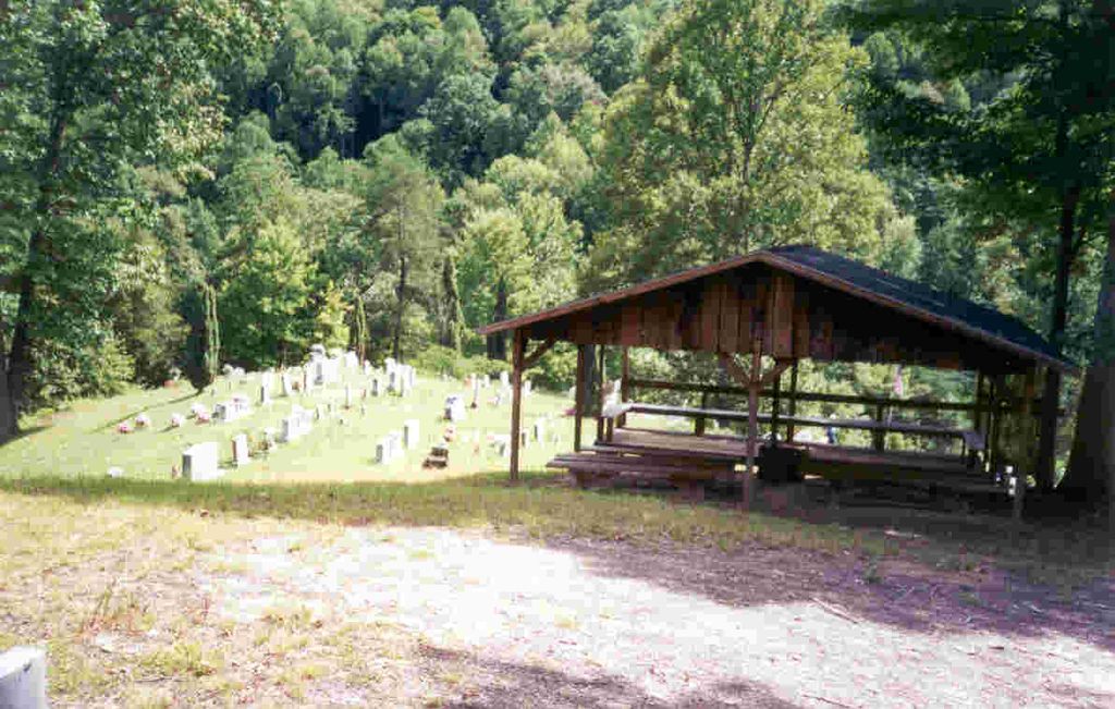
| Description | : | Take Highway 15 west of Whitesburg. Turn south (left) on SH 931 (Witco Road). Go 4.6 miles and turn left on Dinah Blair Branch Road. Go .4 miles. Turn right and head up the hill for .2 miles. The road will dead end at the cemetery. In head of Dinah Blair Branch on right side of Big Cowan Creek. |
frequently asked questions (FAQ):
-
Where is Dinah Blair Branch Cemetery?
Dinah Blair Branch Cemetery is located at Letcher County ,Kentucky ,USA.
-
Dinah Blair Branch Cemetery cemetery's updated grave count on graveviews.com?
0 memorials
-
Where are the coordinates of the Dinah Blair Branch Cemetery?
Latitude: 37.0733140
Longitude: -82.8314320
Nearby Cemetories:
1. Cowan Creek Cemetery
Letcher County, USA
Coordinate: 37.0916800, -82.8408700
2. Hop Gibson Cemetery
Letcher County, USA
Coordinate: 37.0896190, -82.8163350
3. Fields Cemetery
Dongola, Letcher County, USA
Coordinate: 37.0932270, -82.8220650
4. Fields Meade Cemetery
Day, Letcher County, USA
Coordinate: 37.0663800, -82.8576200
5. Caudill Cemetery
Dongola, Letcher County, USA
Coordinate: 37.0919620, -82.8045430
6. Maggard Cemetery
Eolia, Letcher County, USA
Coordinate: 37.0634600, -82.7956650
7. Mullins Family Cemetery
Eolia, Letcher County, USA
Coordinate: 37.0713400, -82.7839220
8. Beyrl Boggs Cemetery
Eolia, Letcher County, USA
Coordinate: 37.0595500, -82.7774500
9. Joel Sturgill Cemetery
Eolia, Letcher County, USA
Coordinate: 37.0589981, -82.7770004
10. Day Cemetery
Ermine, Letcher County, USA
Coordinate: 37.1123100, -82.7967900
11. Peaceful Hills Cemetery
Ice, Letcher County, USA
Coordinate: 37.1143890, -82.8666670
12. Green Acres Cemetery
Ermine, Letcher County, USA
Coordinate: 37.1176987, -82.7956009
13. Boney Banks Cemetery
Ice, Letcher County, USA
Coordinate: 37.1167280, -82.8712130
14. Combs Cemetery
Ermine, Letcher County, USA
Coordinate: 37.1193620, -82.7948360
15. Boatwright Cemetery
Ice, Letcher County, USA
Coordinate: 37.1180300, -82.8745700
16. Craft's Colly Cemetery
Ermine, Letcher County, USA
Coordinate: 37.1280240, -82.7950290
17. Hall Cemetery
Mayking, Letcher County, USA
Coordinate: 37.1225880, -82.7797270
18. Fugate Cemetery
Mayking, Letcher County, USA
Coordinate: 37.1159000, -82.7703770
19. Cram Creek Cemetery
Mayking, Letcher County, USA
Coordinate: 37.1164790, -82.7706700
20. Campbell Cemetery
Crown, Letcher County, USA
Coordinate: 37.1388780, -82.8596650
21. Adams Cemetery
Isom, Letcher County, USA
Coordinate: 37.1369019, -82.7944031
22. Melvin Adams Cemetery
Ermine, Letcher County, USA
Coordinate: 37.1370000, -82.7944000
23. Kingdom Come Cemetery
Letcher County, USA
Coordinate: 37.1134640, -82.9084490
24. Stamper Cemetery
Kings Creek, Letcher County, USA
Coordinate: 37.0947200, -82.9231300